
The Rhinns of Kells. Ring any bells? I’m guessing maybe not, but I think these may be the best hills you’ve never heard of. Before I start waxing lyrical, I should tell you where they are.
Many of you will know of the Southern Uplands, which stretch coast to coast across the bottom bit of Scotland. Some of you will have heard of the Galloway Forest in its western reaches, and its guardian peak The Merrick. Walkers come, they climb it, they go. I know. I’ve done it many times.
But standing a little further east, you’ll find the Rhinns of Kells. They’re not quite as big, and their feet are hidden deep in conifer plantations, but having spent time on both ranges I think they’re equal to The Merrick. In fact, and a bit controversially, I think I prefer them. You do, after all, get the most wonderful view across to The Merrick.
The Kells are the second highest of the four ranges that make up the Galloway Hills. Three run parallel to each other: the Kells in the east, the Dungeon Hills sandwiched in the middle, and the gothically-named Range of the Awful Hand in the west. The Merrick is part of the latter and queen of them all – and at 2766ft/843m the highest summit in the whole of southern Scotland.

Fifteen named peaks make up the Kells range, running 11 miles from Cullendoch Hill in the north to Darrou in the south, and it’s known as the Rhinns of Kells from Corserine south. Rhinns derives from Old Irish rind for promontory or point, as seen to fine effect in the nearby hammerhead peninsula of the Rhinns of Galloway. I presume the longitudinal nature of these hills is similar enough to earn the same title. Kells is the name of a nearby parish, and originally comes from Old Irish cell meaning church, or in the context of a hill possibly a reference to their raised, church-like elevation.
When I arrived in the area to plant my flag on these little-known summits, I checked into a small campsite nearby and I got talking to the owner. He wanted to know where my fishing tackle was; I told him I was a walker and proudly proclaimed my intention to climb the Kells, thinking it might impress a local.
His response was instant, and delivered with a mix of fear and pride: “I’ve never set foot on them and I’ve no intention of doing so.” Now, I’m not the best at reading people – it’s why I like to go walking in quiet places, to get away from them – but I sensed that part of the conversation was over. That night I kept repeating his words over and over in my head, trying to work out just what he meant.

The next person I spoke to was in the car park at Burnhead Bridge on the Forrest Estate. We were the only two there. I said good morning and he just about managed a nod. As I put on my boots I commented, thinking this might get more of a response, about the bloody midges not wasting any time to attack.
All I got was a grunt and then he strode off. A sign put up by the landowners didn’t help. It was very informative, but it also warned if you were still parked here after 8pm you’d be reported to the police. I couldn’t help wonder at the negative vibes. Nothing had yet sold me on the place. I guessed it was up to the walk to do that, so I went for that walk.
As soon as I started pounding out the first couple of miles I began to feel a bit better, even though it was all plantation and on that summer day busy with logging. Every track in the wood had a streetname sign which simplified navigation but I was glad to reach the edge of the trees and the empty hills ahead. They looked beautiful and I started to smile uncontrollably.

I stopped to savour the view for a good 15 minutes and it was here I met the second of the three people I’d encounter on my walk. It was like a switch had been flicked. He loved these hills, was keen to share them, and his positivity was infectious. As he continued on his way, I started up the slope towards Corserine. (The third person was similarly euphoric.)
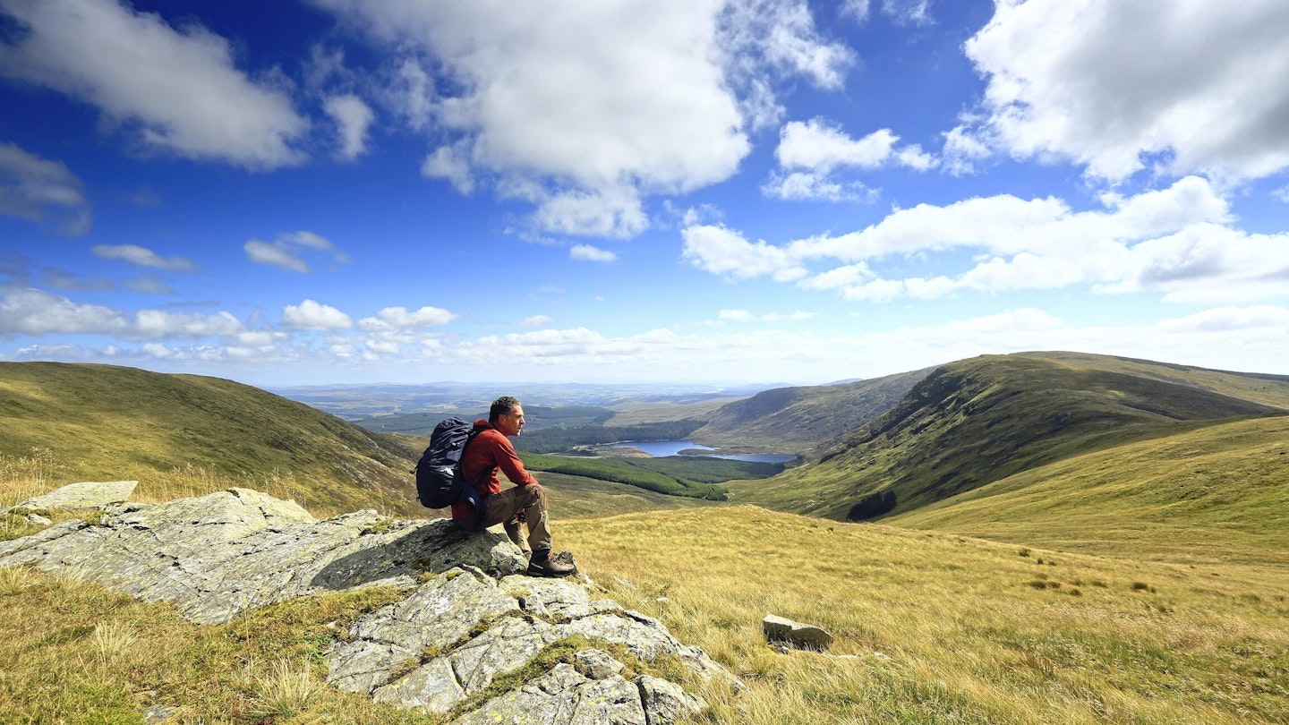
The sun was shining: not too hot, not too cold. The heather was just about still in flower and the path wound a narrow thread through the purple. Several times I looked back over the vast sprawling plantation of the Forrest Estate, glad to be on the open hill above. I pushed on up into the blue, reaching Hennessy’s Shelter. Part shelter, part cairn, sitting in it felt like perching on a tumble-down throne presiding over a kingdom. And what a kingdom.