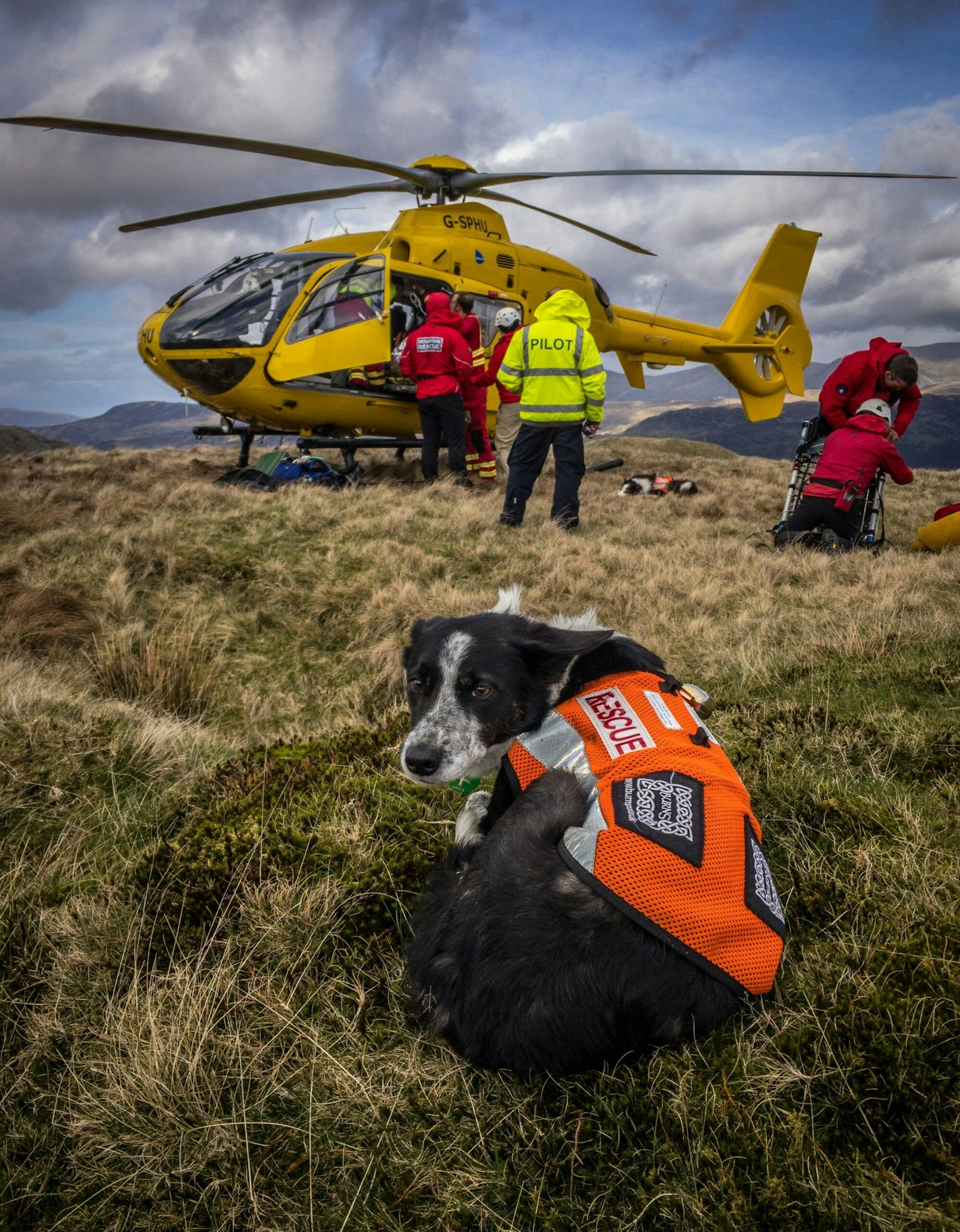
Ordnance Survey and Mountain Rescue England and Wales have announced a new partnership to emphasise the importance of navigation skills and having the right equipment in the hills, mountains and countryside.
With spring in full flow and summer around the corner, Mountain Rescue volunteers are readying themselves for an influx of visitors in remote areas and want people to stay safe, avoid getting lost or into difficulties, and enjoy their time in the outdoors.
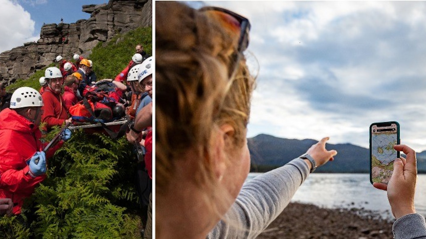
Mountain Rescue’s figures from 2022 showed that over one in three callouts in England and Wales were due to basic mistakes and poor planning, with 17% caused by human error, 9% by bad decision making and 9% by inexperience. One of the biggest issues is people not having an OS Map to navigate the environment.

As part of the partnership, Mountain Rescue England and Wales have recommended OS Maps App as the navigational phone app of choice when heading out to explore the outdoors.
Mountain Rescue England and Wales Chief Executive Officer Mike Park said: “Far too often we’re seeing people in very remote and potentially dangerous locations using mapping apps better suited to towns. It's vital that people have detailed maps, whether paper or digital, to understand the landscape, hazards and follow established paths.
"There has been a shift to online tools and apps in recent years, with many of our volunteers using maps on their phones, but we would always recommend carrying a paper map that doesn’t need battery power as a back-up."
Through the new partnership, OS has made OS Maps App available to every one of the 47 local volunteer teams of Mountain Rescue England and Wales so that they have access to detailed mapping when answering rescue call-outs.
Nick Giles, Ordnance Survey’s MD for Leisure, said: “The last three years have seen an increase in people walking more and discovering Britain, which is fantastic as we are always looking to help more people to get outside more often.
“However, we are starting to see some of these people venturing further afield and unfortunately not taking the correct steps in planning and being prepared with the right mapping and outdoor kit. Our advice is to always plan ahead and make sure you’re venturing outside in an accessible and safe way.
“Don’t ruin your day outdoors by having to call Mountain Rescue. It’s miserable being stuck up a mountainside in the rain waiting for someone to come and fetch you.
“Making the outdoors enjoyable accessible and safe for everyone is our top priority and the perfect combination of OS Maps and the right paper map coupled with learning some skills, can really help ensure you stay safe and hopefully never need to call on the Mountain Rescue teams to help you in an emergency.”
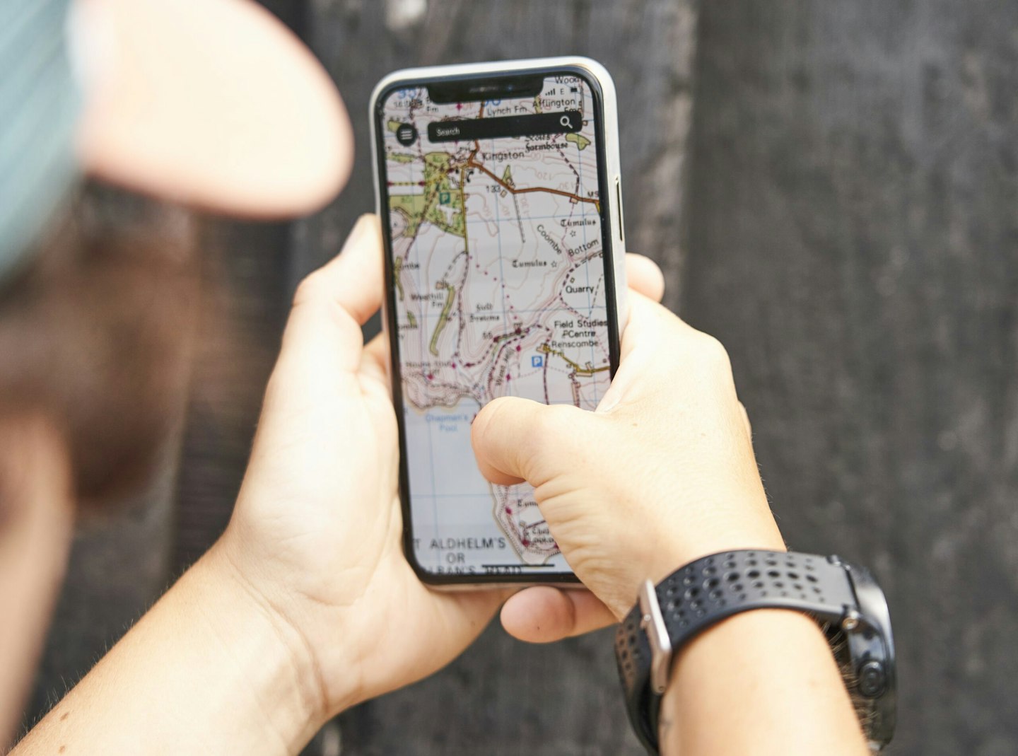
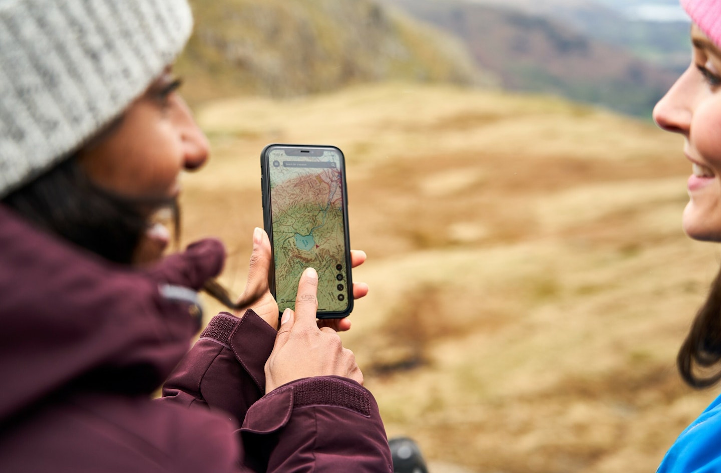
OS provides detailed mapping at 1:25k and 1:50k scale within the premium OS Maps App subscription. With that subscription, OS users gain access to features including route mapping, 3D mapping to help visualise routes before going out, AR tools, and hundreds of thousands of shared routes.
To find out more about Mountain Rescue England & Wales, head o www.mountain.rescue.org.uk or check out OS’ GetOutside articles for advice from Mountain Rescue for staying safe in the outdoors and what it’s like to be a MREW volunteer from OS Champion and Mountain Rescue volunteer, Emily Thompson.