A mile on foot is precious wherever you can grab it – and you’re often closer than you think to a refreshing, reinvigorating walk. Whether you’re visiting a new town or in the middle of your working day, OS Maps is dedicated to helping turn your time into treasure – however much of it you’ve got to spare and wherever you are.
The free Greenspace layer in OS Maps is the easiest way to discover greenspaces across Britain. And it got even better as we’ve added Country Parks, Nature Reserves and Access Land. Whether it’s a quick click online or a simple tap on the app, the Greenspace layer reveals the refreshment that awaits in an open space nearby.
Stroll across a public park, march around a playing field, exercise at a sports facility, have fun in a play area, find the perfect picnic spot or even reap the rewards of renting an allotment. Greenspace is Britain’s most comprehensive catalogue of accessible places – and a great way to turn more of your time into pleasure and purpose.
Get started with OS Greenspaces

On your smartphone
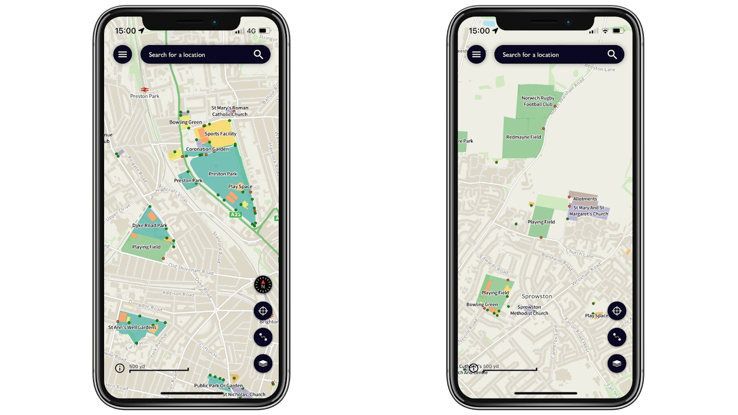
To view the Greenspace map on the move, it’s easiest to use the OS Maps app on your mobile. It’s available to download for free on Android and iOS.

1. Open the OS Maps app, available in your app store. You’ll be asked if you want to register or log in. This allows you to share planned routes with the browser version. But you can skip this part if you wish.
2. Click the Layers button It’s in the bottom right. Next choose ‘Greenspaces’.
3. Zoom in using pinch gestures to see greenspaces near you. Pan around to discover the local area or use the search at the top of the screen. It uses the same colour categories as the browser version. (You’ll need a data connection to see the map.)
On PC

1. Open OS Maps – if you already have an account you can log in – or just close the welcome box to get started.
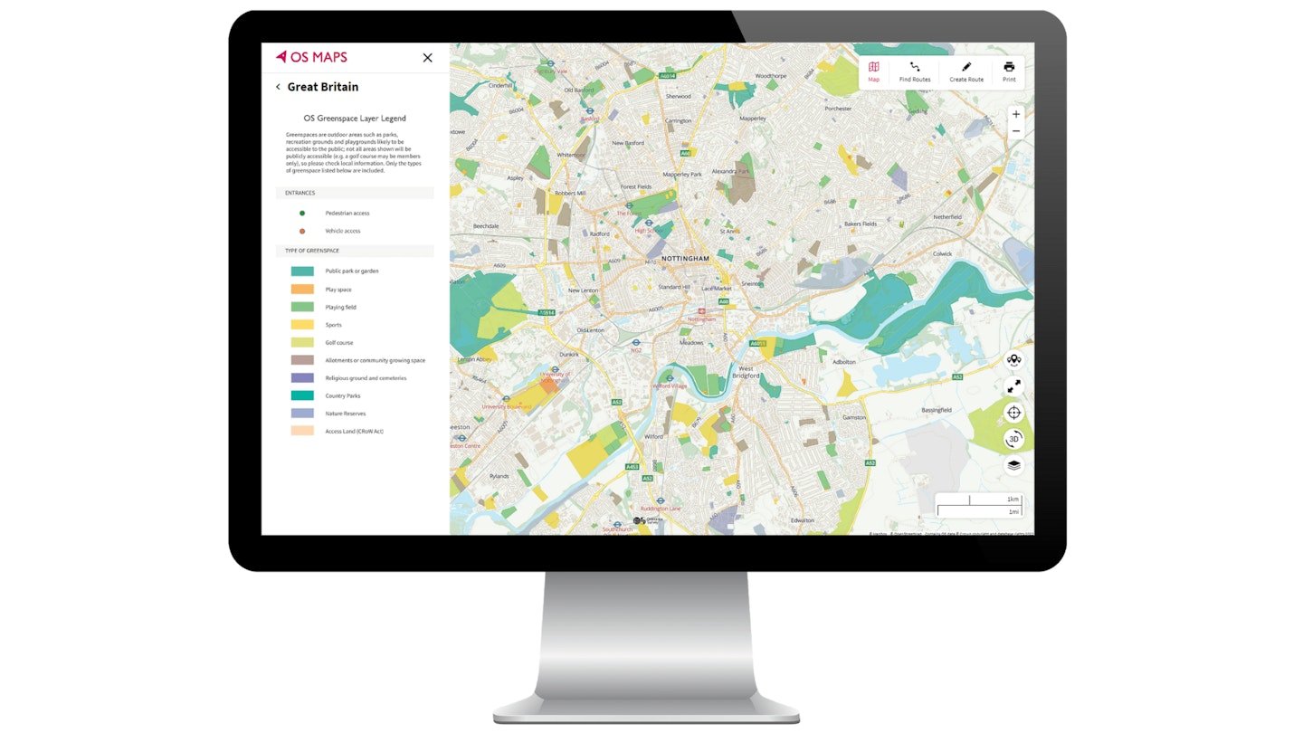
2. Go to the map layer selector and select ‘Greenspace’. Zoom in to start finding greenspaces near you. You can use the ‘Search for location’ function in the top left to jump to a specific place, or just scroll around the map. Tip: you can search for postcodes, place names and grid references too.
3. Click on Help to open the map legend. Each different category of greenspace is shown in a different colour. Entrances are shown as small green dots for pedestrian access and red dots for vehicle access.

