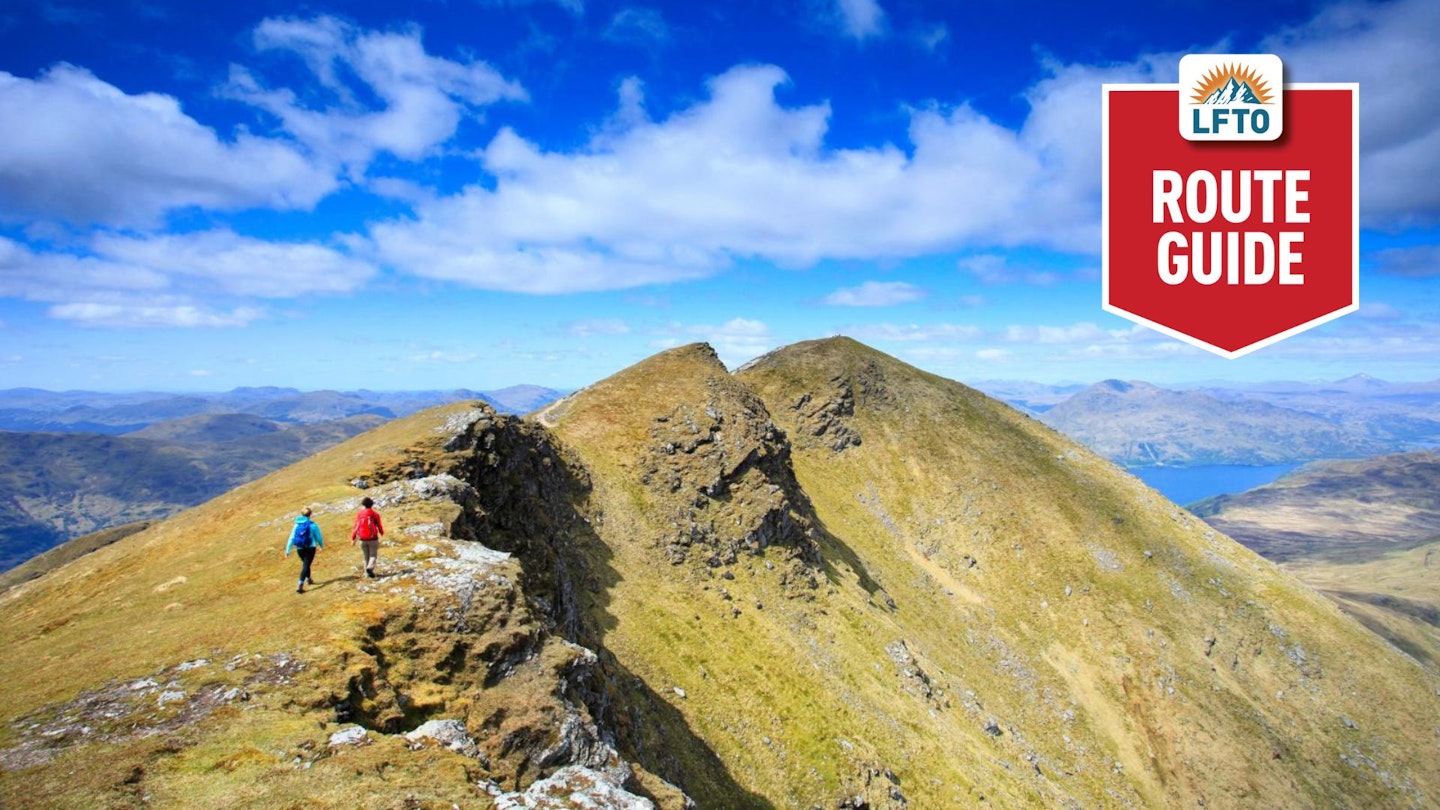
Rising to 974m above sea level, Ben Lomond is Scotland’s southernmost Munro. Due to its accessibility from major urban areas such as Glasgow, Edinburgh and Stirling, it's one of the most popular mountains to climb in the Highlands.
Consequently, Ben Lomond is a little maligned among the hillwalking fraternity. But it actually offers a fantastic hill walk – especially if your descent is via the wonderful Ptarmigan ridge, an undulating landscape that offers the spectacular views of Loch Lomond that are hidden when ascending along the main ‘tourist’ path.
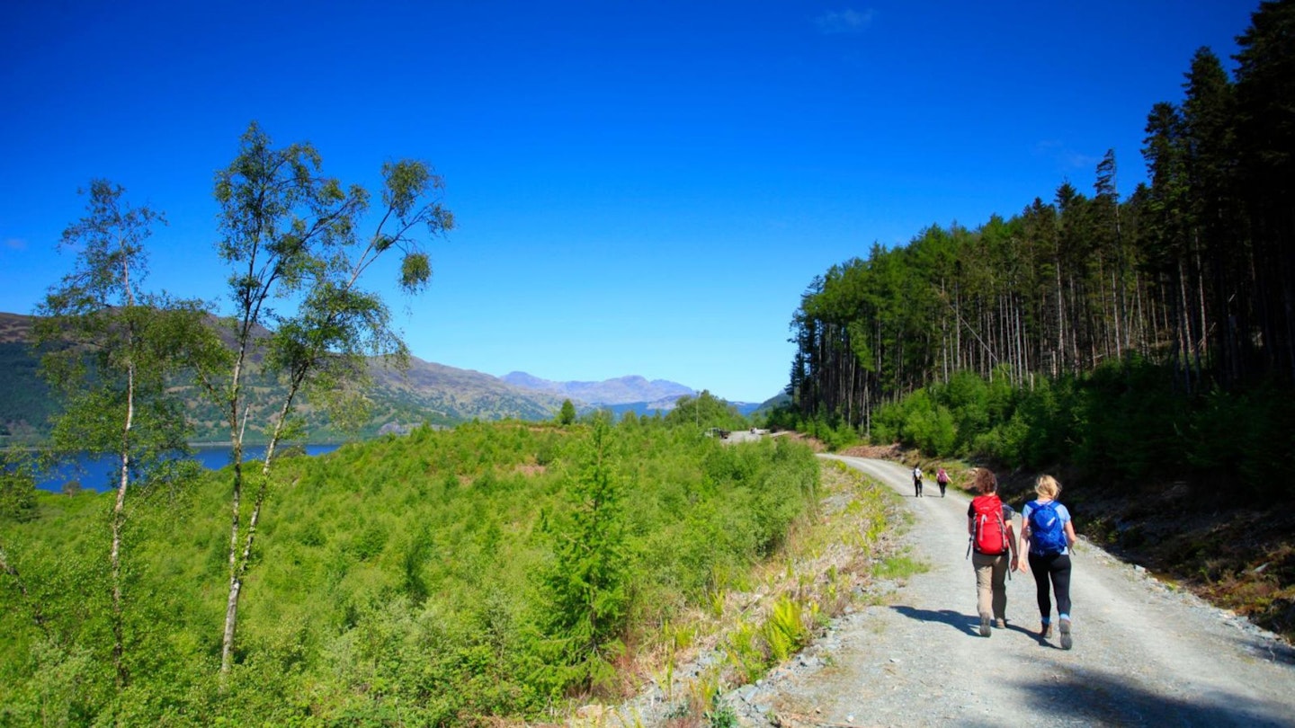
Ben Lomond is cared for by the National Trust for Scotland and much work has been done to improve the path in recent years, as well as clearing the conifer woodland that used to cloak the lower slopes.
Now native species, such as birch and oak, allow views to open out along the early stages of the walk, particularly across Loch Lomond to the rolling Luss hills. The path means walking is fairly straightforward with a few steepish sections. However, as the summit is approached, the terrain becomes more rugged and the final metres run close to the splendid Coire Fuar and Coire a’ Bhathaich.
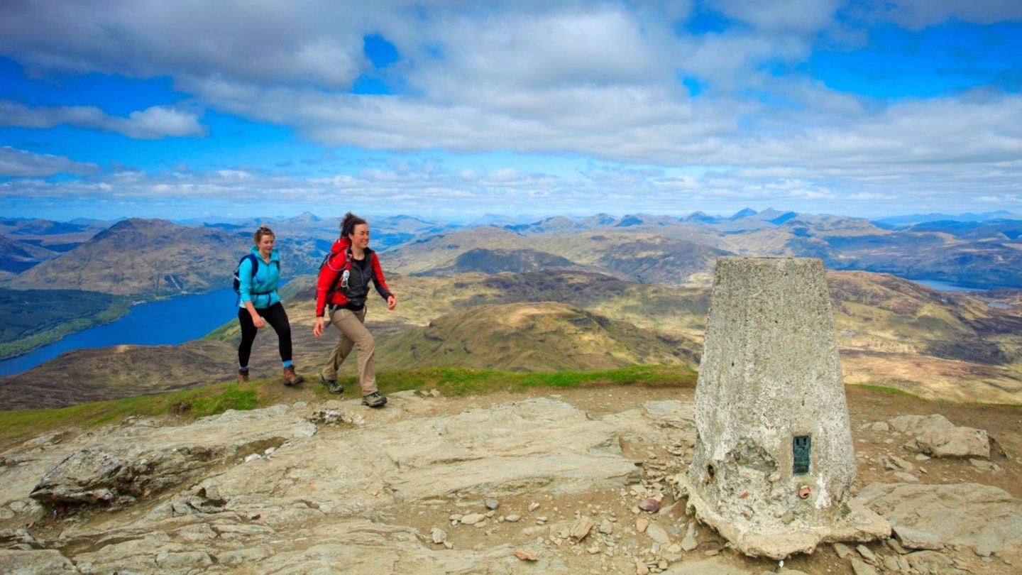
On top, a stunning panorama opens out, extending across much of the Southern and Central Highlands and, on a clear day, to the serrated profile of the Isle of Arran.
A steep descent then drops away from the hordes onto Ptarmigan Ridge, from where a gorgeous section of the route returns to the lochside at Rowardennan.
How hard is climbing Ben Lomond?
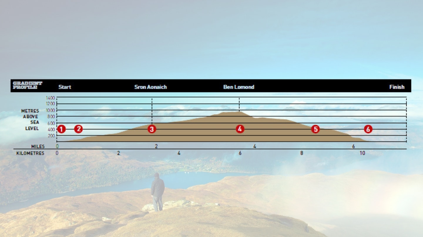
DIFFICULTY: Medium | DISTANCE: 10.5km (6.5 miles)| TIME: 5 hours | TOTAL ASCENT: 949m
FITNESS: By Scottish standards, this isn't too taxing a mountain day. You could compare it more to a Lake District fell walk, so regular hillwalkers shouldn't have an issue.
TERRAIN: The majority of the route follows clear mountain paths. The early descent from the summit of Ben Lomond onto Ptarmigan Ridge is steep, and along the ridge, the path can be narrow and rough at points, but the route is generally easy to follow.
NAVIGATION: Generally this route isn't too taxing if you're a regular mountain walker, but the path does come close to some very steep drops so you need good map and compass skills in low visibility.
Where is the start of the walk?
Rowardennan car park is the obvious place to start and the nearest town is Balloch, around 19 miles and 40 minutes away by car.
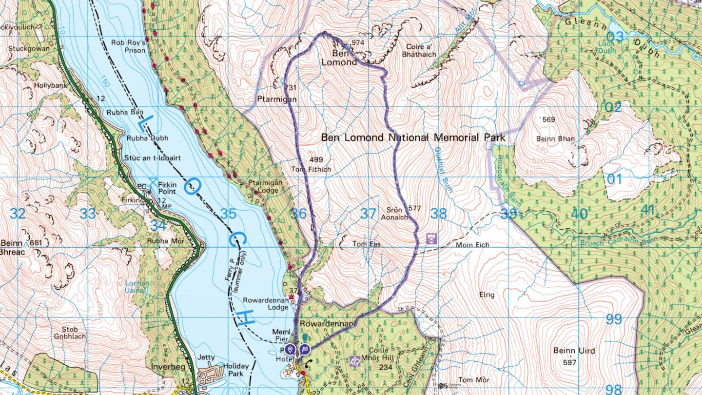
What's the best map for Ben Lomond?
-
CLICK HERE to view and download our digital route guide in OS Maps
Ben Lomond via Ptarmigan ridge | Step-by-step route guide
-
Begin from Rowardennan car park – there is a parking charge – on the banks of Loch Lomond. Walk through the gap in a toilet block then follow the waymarked ‘Ben Lomond Access Path’ as it rises through gorgeous mixed woodland.
-
The well constructed path ascends north-east with the upper slopes of Ben Lomond coming into view. Once through a gate, the path climbs steadily. Go across a forestry track and the ascent continues above the treeline, with a great view of Ptarmigan ridge.
-
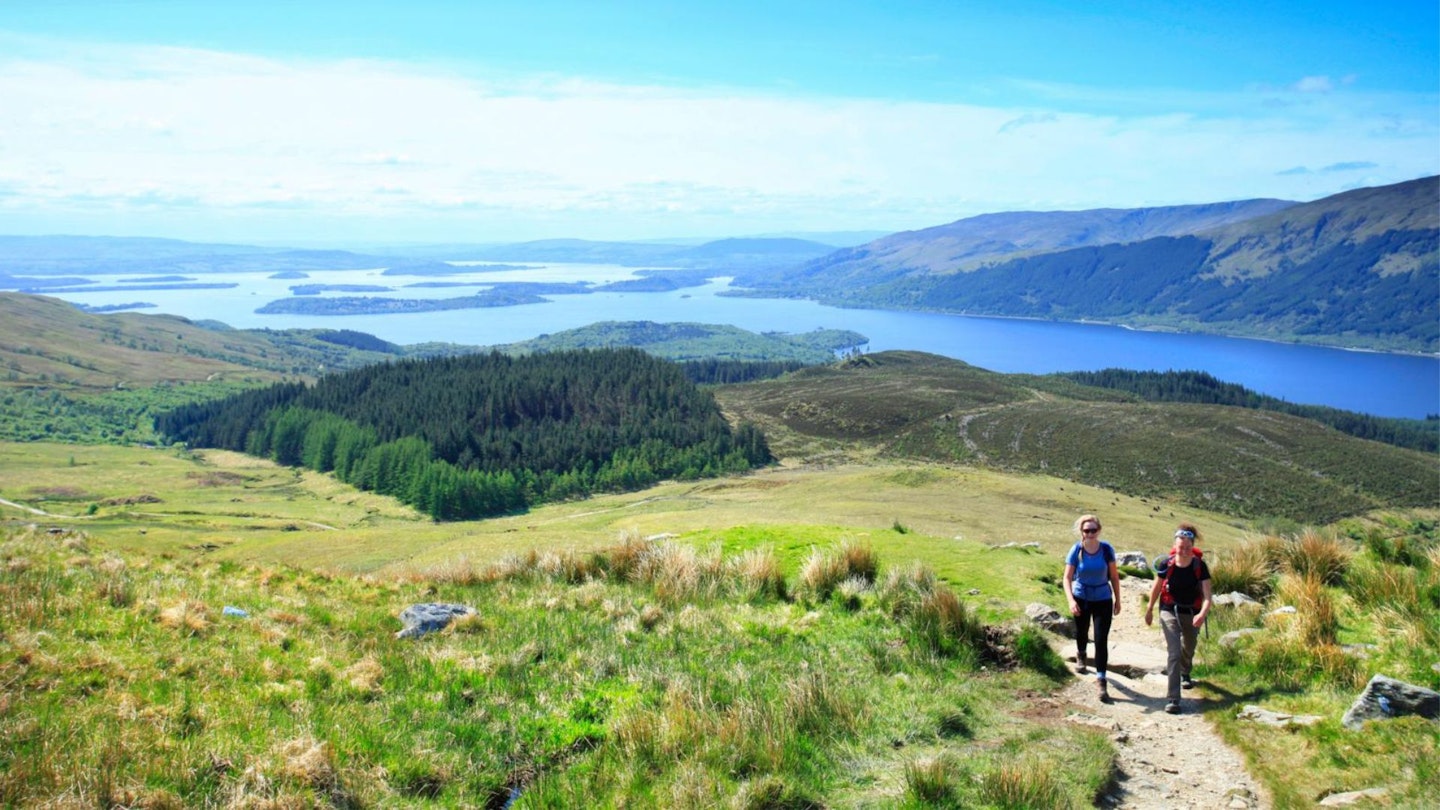
The gradient eases for a while allowing you to take in the marvellous views west across Loch Lomond to Beinn Eich and Beinn Bhreac. Once across a footbridge over a burn the incline steepens, then beyond a gate the ascent continues. Livestock graze the slopes here so keep dogs on leads. After another gate the path continues steeply north over Sròn Aonaich where stunning views open out south along Loch Lomond and the flatter plains of Stirlingshire.
-
The gradient now begins to ease a little with a gentler section proceeding over open moorland, home to skylarks. It then begins to climb again towards the main summit ridge, with the path zigzagging uphill before the route takes in the most dramatic section of the walk. Real care should be taken in poor visibility as the path runs close to the steep slopes above Coire Odhar and Coire Fuar.
-
Eventually the summit trig comes into view and a short, gradual climb, above the spectacular Coire a’ Bhathaich, gains the 974m summit. Only now does the true extent of Ben Lomond’s exceptional panorama come in to view – the Arrochar Alps (The Cobbler and Beinn Narnain particularly prominent), the big Munros above Crianlarich, especially Ben More and Stob Binnein, Loch Lomond, Ben Ledi and Ben Venue are all on show as is, on a clear day, Arran’s wonderful outline to the south.
-
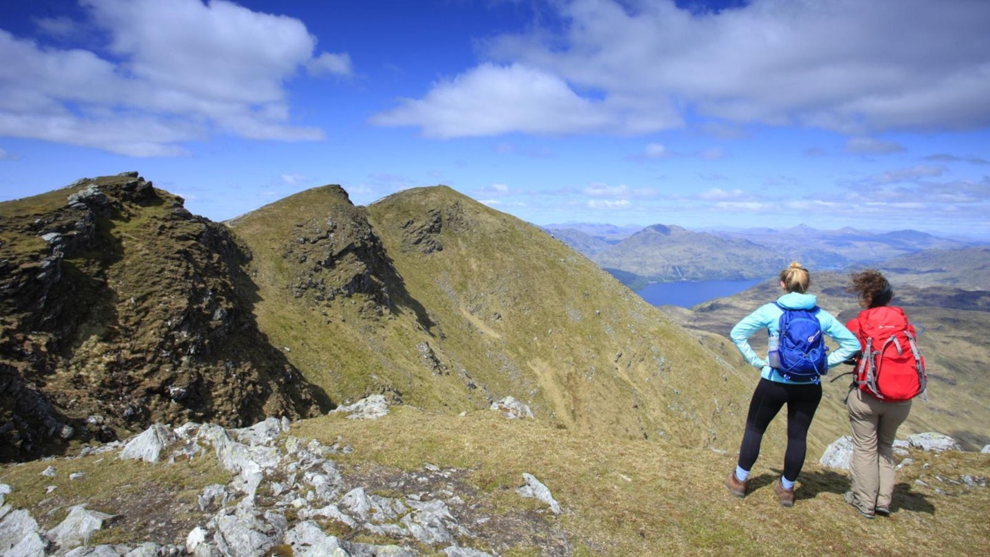
Most walkers will head back to Rowardennan via the route of ascent, but a superb descent follows a good path over Ptarmigan ridge. Initially it's steep, and a little exposed at points where care is required, especially in poor visibility or during winter. From the summit take the path that drops steeply north-west all the way to the 750m contour, where the incline eases.
-
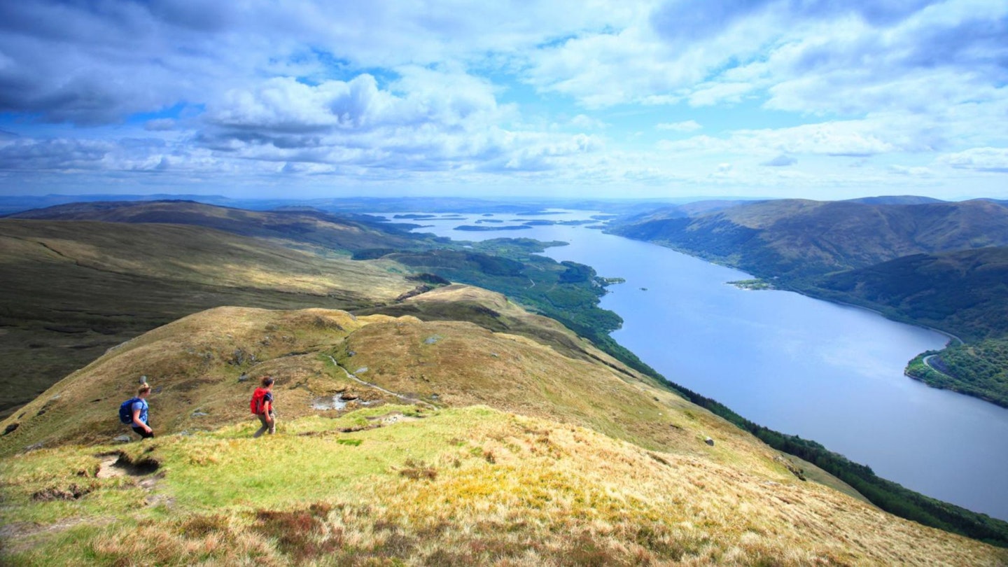
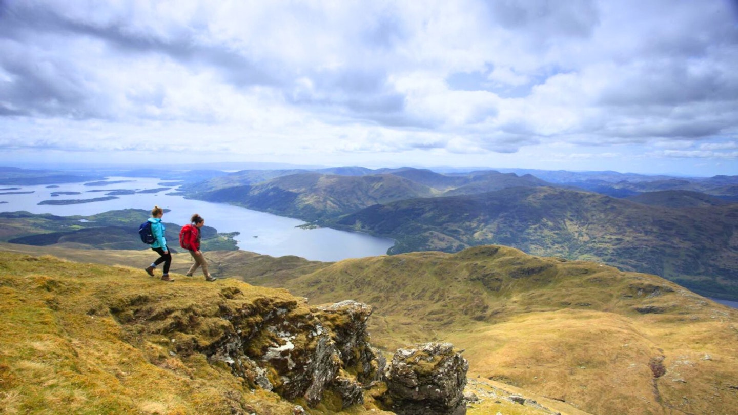
After a further short descent, the path rises again to 731m, Ptarmigan’s highest point. From here it's a knobbly and undulating descent, with fantastic views down to Loch Lomond and its many islands and across the water to the Luss hills. The path remains clear as it drops steadily south, eventually leaving the ridge beneath Tom Fithich.
-
Once through a gate, the path begins to drop a little more steeply, eventually running through scatterings of birch and hawthorn down to another gate at the edge of woodland. Once through, continue through oak woodland, then alongside a burn. When the path forks keep left, to a junction near Ben Lomond Cottage.
-
Here turn left, cross a bridge over the burn onto a rough road (the West Highland Way), pass Ben Lomond Cottage then Ardess Lodge and continue, for nearly 1km, all the way back to Rowardennan.
What walking gear do I need for this route?
Ben Lomond is a big mountain and this is a typical Highlands mountain walk, so we'd recommend the obvious basics of walking boots or hiking shoes, a good hiking daypack, a reliable waterproof jacket (essential in Scotland!), and a pair of quick-drying walking trousers with some packable waterproof overtrousers in your bag.
Depending on the season you walk this route you may need some extra essentials, so check out our hiking gear section for our latest reviews and recommendations.
Where can I eat and drink?
Rowardennan Hotel is close to the start of the walk.
Where's the best place to stay?
Rowardennan Hotel is as good a place as any to base yourself, along with Rowardennan Lodge Youth Hostel. Check out Booking.com and Tripadvisor for more options and local deals.
About the author
Hannah James is an experienced outdoor writer who grew up in the Brecon Beacons, has walked extensively in Scotland, and is now based on the edge of the Yorkshire Dales National Park. She's a former member of the Trail editorial team and now a widely respected freelance author, gear tester and route guide writer.
This route originally appeared in the August 2017 issue of Trail magazine. CLICK HERE to become a Trail magazine subscriber and get 50% off a whole year of digital OS Maps
