Ben Macdui is Britain's second-highest mountain, and reaching its 1309m trig point means navigating the great subarctic wilderness of the Cairngorm plateau. Any hiketo the rocky, wide-open summit is memorable and challenging, including this fine southern approach from the beautifully named Linn of Dee.
Zainab Kenny is your guide for this epic 35km route, which covers over 1800m of ascent in arguably Britain's wildest and most challenging terrain. There's also the option for an overnight stay in a mountain shelter, to really make this feel like an adventure.
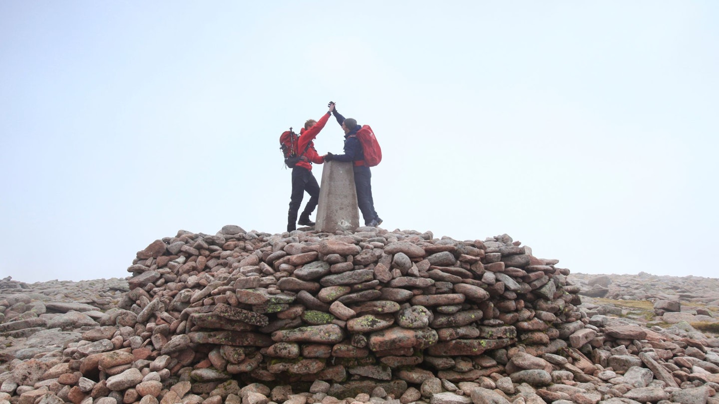
This walk allows you to experience the ultimate of Scottish hillwalking adventures through the rugged, wild and remote Cairngorm plateau, a region teeming with history and natural beauty.
The Cairngorms, Scotland’s largest National Park, has been a haven for wildlife and outdoor enthusiasts for generations. This alpine semi-tundra habitat hosts a diverse array of wildlife, from the elusive capercaillie and pine marten, to the majestic golden eagle and semi-domesticated reindeer, as well as venomous adders.
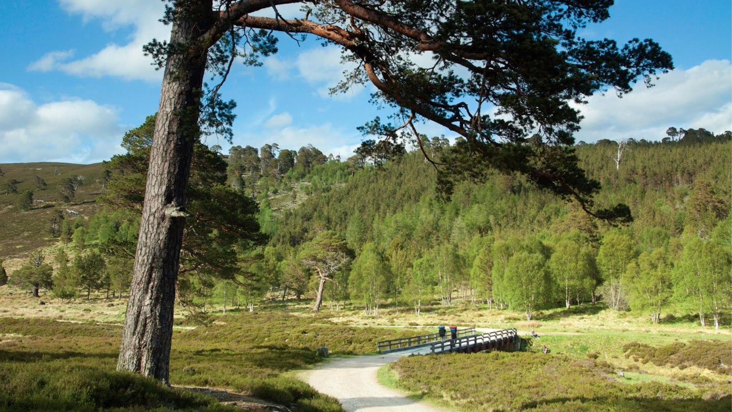
Start your journey at the iconic Linn of Dee, a striking 300m granite carved gorge, where the river Dee flows with awesome force. Traverse ancient Caledonian pine forests, following the meandering path of the Luibeg burn.
Ascend Carn a’ Mhaim and traverse its ridge to tackle Ben Macdui, the UK’s second-highest peak, casting sweeping views across the landscape. Continue your adventure with a well-deserved rest at a rustic bothy, before conquering Derry Cairngorm, often overlooked by Ben Macdui just behind, but a magnificent hill in its own regard.
How hard is climbing Ben Macdui via Linn of Dee?
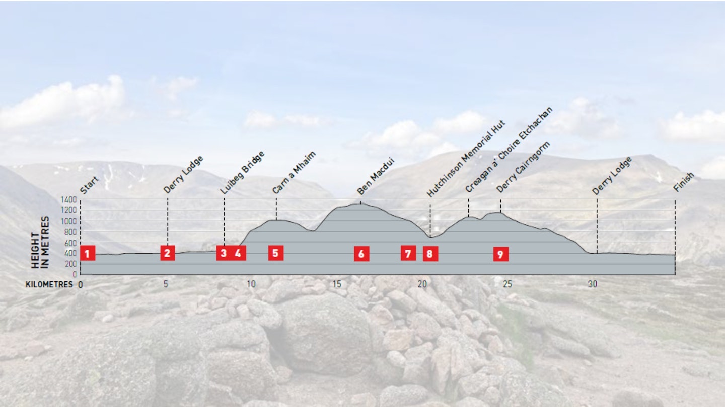
DIFFICULTY: Hard | DISTANCE: 35km | TIME: 12 Hours (2 Days with Bothy) | TOTAL ASCENT: 1809M
FITNESS: Good hill fitness required to walk in one day, but with an option to cover the route over two days.
TERRAIN: Tracks and rocky paths. Short sections of steep ascent and descent, but not technical.
NAVIGATION: Good paths to follow, usual caution required in upland mist.
Where is the start of the walk?
The route starts at the Linn of Dee car park – a car is required as there is no bus service to Linn of Dee. Overnight parking is permitted, a day costs £4 (as of July 2024).
What's the best map for climbing Ben Macdui?
-
CLICK HERE to view and download our digital route guide in OS Maps
-
OS Explorer OL57 (1:25k)
-
OS Landranger 56 (1:50k) NB: Linn of Dee not on this map, but from Derry Lodge is. Map 43 shows Linn of Dee
-
Harvey Ultramap Cairn Gorm & Ben Avon (1:40k)
Ben Macdui from Linn of Dee | Step-by-step route guide

-
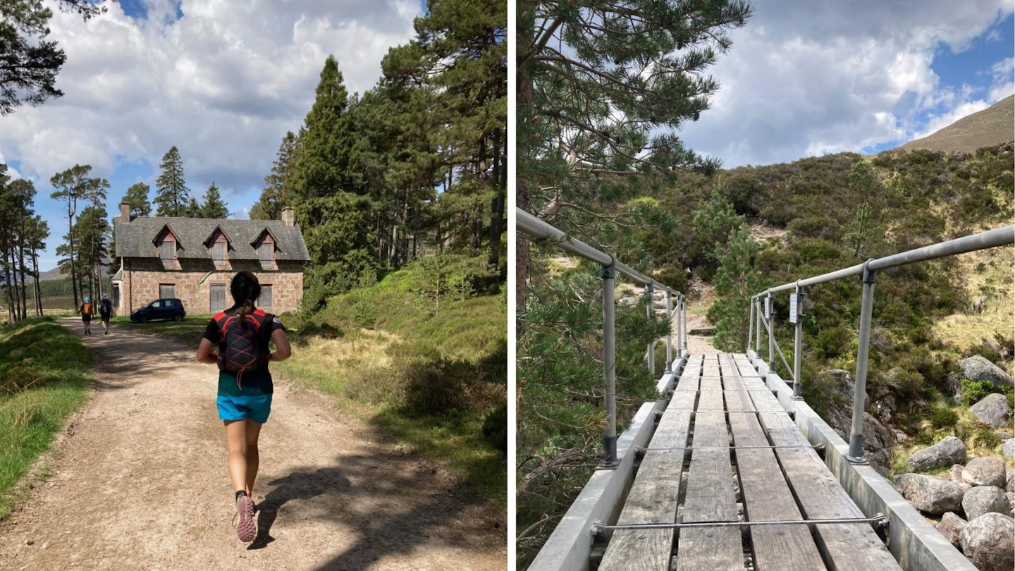
Head north from the Linn of Dee car park, following signs to Glen Lui. Cross the bridge and continue left up the track and continue along. Take some time to admire the gnarly granny pines, and keep an eye out for capercaillie, (and cyclists)! Continue walking along the track until you reach Derry Lodge. This grand building is an old shooting lodge, sadly now derelict. (Good to note, ‘Bob Scott’s bothy’ lies just a few hundred yards from Derry Lodge. This bothy is one room, sleeping six on a single platform). If you are cycling in you may wish to leave your bikes around here/at the lodge as the upcoming terrain will get a bit more technical.
-
From Derry Lodge, cross the bridge and take the path to the left, following the river west. This path is narrower and slightly more uneven than the previous track. The path continues 3km until a ford crossing is reached, even in summer the water can be high so cross at Luiberg Bridge, just half a kilometre further up the path. The height of the bridge makes for pretty views over the river, and there are some great rocks for picnicking here too.
-
Follow the path up the stony steps, and continue walking along the base of the first Munro, Carn a’ Mhaim. Another half a kilometre along is the turning to start the ascent, marked by a few stones. The path is clear and fairly wide. On a map the path can be seen on the 1:25k map but not the 1:50k. If using the 1:50k map, head for the least steep part of the hill away from the rocks and you should find the path.
-
Continue up the path all the way to the summit of Carn a’ Mhaim, this is the slightly taller of the two ‘peaks’. Take in stunning views of The Devil’s Point, Cairn Toul, The Angel’s Peak and Braeriach to the west, if you’ve got a really good eye you may even be able to spot Corrour Bothy tucked in the glen!
-
Continue descending northwest along the ridge of Carn a’ Mhaim. Once the ridge flattens and you’re met with the steep, boulder-strewn slopes of Ben Macdui, make your way uphill until it eventually flattens out and a clear path can be seen running parallel. Follow the path west past a ruin to the summit of Ben Macdui.
-
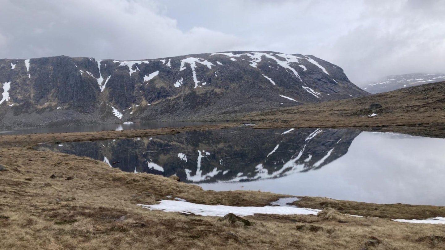
Retrace your path to the plateau and continue east along a gradually descending ridge. Keeping the cliffs of Coire Sputan Dearg to your right. You’ll pass a small lochan and further along the stunning Loch Etchachan will come into view below, sitting beneath the slopes of Beinn Mheadhoin. Follow the path to the eastern outflow of the loch by Little Loch Etchachan.
-
Take the path heading south-east of the loch, passing beneath the slabs of Stob Coire Etchachan to reach the Hutchinson Memorial Hut. This hut sits on the northern flank of Derry Cairngorm. Please bear in mind that this hut is small, with only one room and a sleeping platform that sleeps just two (note: there is floor space for four) so it is advised to bring a tent in case the hut is full.
-
From the bothy, make your way back up the path to Loch Etchachan, head south-west up Creagan a’ Choire Etchachan and along to Derry Cairngorm, this part is rocky so take care. The summit of Derry Cairngorm has fantastic views across to the Beinn a’ Ghlo hills and the Spittal of Glenshee.
-
Head southeast off the summit, following a distinct path and heading for Derry Lodge, 4/5km away. Once at Derry Lodge, retrace your steps back along the wide track to the Linn of Dee car park.
What walking gear do I need for this route?
Here's a selection of the best walking gear selected by LFTO's testing team: Walking boots | Hiking daypack | Waterproof jacket | Walking trousers | Walking poles | Walking mid-layers | Base layers. Also bear in mind that in winter conditions, which can cover these mountains for much of the year, you'll dedicated winter kit such as an ice axe and crampons.
Where can I eat and drink?
Braemar (café) does delicious cake. If you’re after a pint, the Farquharson is a great pub.
Where's the best place to stay?
Braemar hosts lots of bothys and has stunning wild camping sports. The Braemar youth hostel also offers accommodation.
About the author
Zainab Kenny is an enthusiastic scrambler, climber and hillwalker based in Scotland. She's part of Trail magazine and LFTO's team of experienced freelance route guide authors.

This route originally appeared in the September 2024 issue of Trail magazine. CLICK HERE to become a Trail magazine subscriber and get 50% off a whole year of digital OS Maps
