The best autumn walks take advantage of all the lovely things the season brings: gorgeous orange leaves, twiggy foliage, mist-filled valleys and the chance to witness seasonal wildlife rituals.
I'm talking deer rut. I'm talking red squirrels gathering nuts for winter. Hedgehogs seeking shelter; hipsters mulling their own beards; starling migration. All the joys of autumn!
Of course, there's nothing better than a long, winding walk to take in the slow inevitable death of summer – but where should you walk? And who are you working for?
Why autumn might be the best season for walking
Crisp air, golden light, and fewer crowds make autumn a magical time to head outdoors. Cooler temperatures mean you can cover brisk miles in your favourite fleece without overheating, while the changing foliage transforms familiar paths into fiery tunnels of colour.
Wildlife is on the move too, which really does add a sense of drama to every walk – if you know what to look for.
These 10 routes have been selected specifically because you don’t need to be a seasoned naturist to get the goods out of ‘em. They’re fantastic walks year-round, but doubly so in this fizzy, electric season. Wrap up warm, and let’s head out!
1. Rothiemurchus Forest, Cairngorms
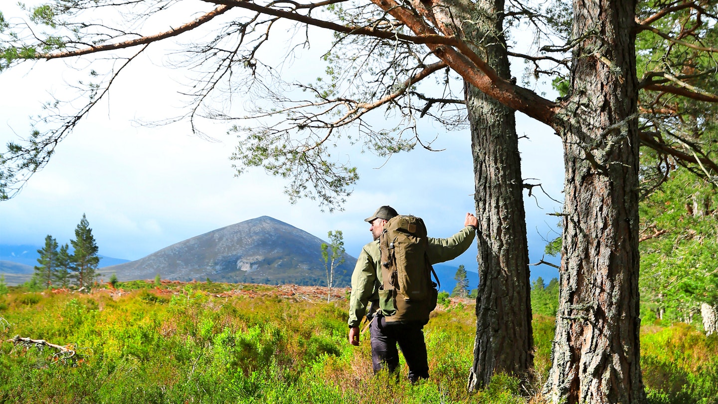
Meaning ‘Loch of the Island’, Loch an Eilein is a beautiful body of water surrounded by ancient Caledonian forest and part of the Rothiemurchus Estate. The island in the loch hosts a ruined castle built in the 13th century and fortified in the 14th century by Alexander Stewart, the so-called ‘Wolf of Badenoch’.
The island was once connected to the shore by a causeway, but this was lost when the loch’s level was artificially raised in the 18th century to float logs down the River Spey.
Today, the loch is a popular spot and was voted Britain’s Favourite Picnic Spot in a 2010 poll. The circuit of Loch an Eilein alone makes a gentle 3.5-mile route, but it’s well worth including the path around neighbouring Loch Gamhna.
Though slightly rougher and boggier, it’s quieter and excellent for wildlife spotting. Look out for red squirrels, crossbills and crested tits, and even ospreys scouting for fish high above the water. If you take one thing from this list, let it be that you have to go walking in the Cairngorms.
Route details
Start/parking: Loch an Eilein Car Park (per person charge)
Terrain: Good to excellent tracks; rough/boggy around Loch Gamhna
Nearest town: Aviemore (5 miles)
Refreshments: La Taverna, Aviemore (01479 810683)
Public toilets: Loch an Eilein Visitor Centre
2. Hardcastle Crags, West Yorkshire
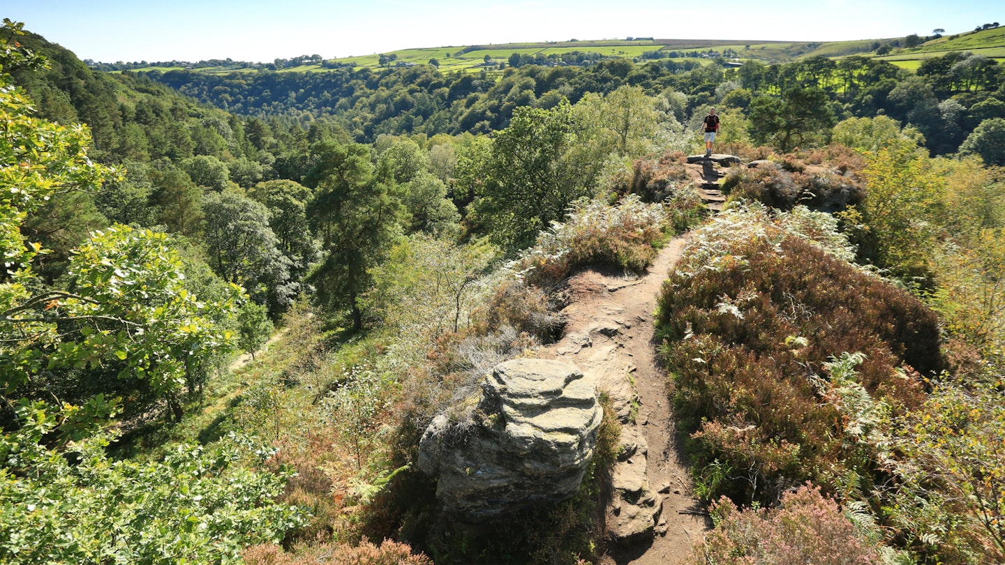
Set in a steep, wooded valley near Hebden Bridge, Hardcastle Crags is a spectacular mix of tumbling streams, mossy boulders and Victorian industrial history.
This circular walk showcases the best of the South Pennines: tranquil woodland paths, panoramic moorland, and striking rock formations like the Bride Stones and Great Rock.
Start from the atmospheric church ruins in Heptonstall and descend through Colden Clough, where ancient packhorse trails whisper of centuries of trade. Climb onto the heather moors for sweeping views before looping past historic mills and along Hebden Dale to Gibson Mill, a beautifully preserved 19th-century cotton mill now run by the National Trust.
Autumn brings a blaze of gold to the woods and the chance to spot dippers and grey wagtails along the river.
Route details
Start/parking: Heptonstall (SD986279)
Terrain: Varied moorland and woodland paths with some steep ascents and stiles
Nearest town: Hebden Bridge
Refreshments: White Lion pub, Hebden Bridge
Public transport: Regular trains to Hebden Bridge; local buses to Heptonstall
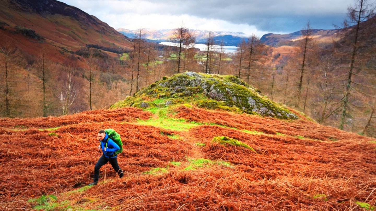
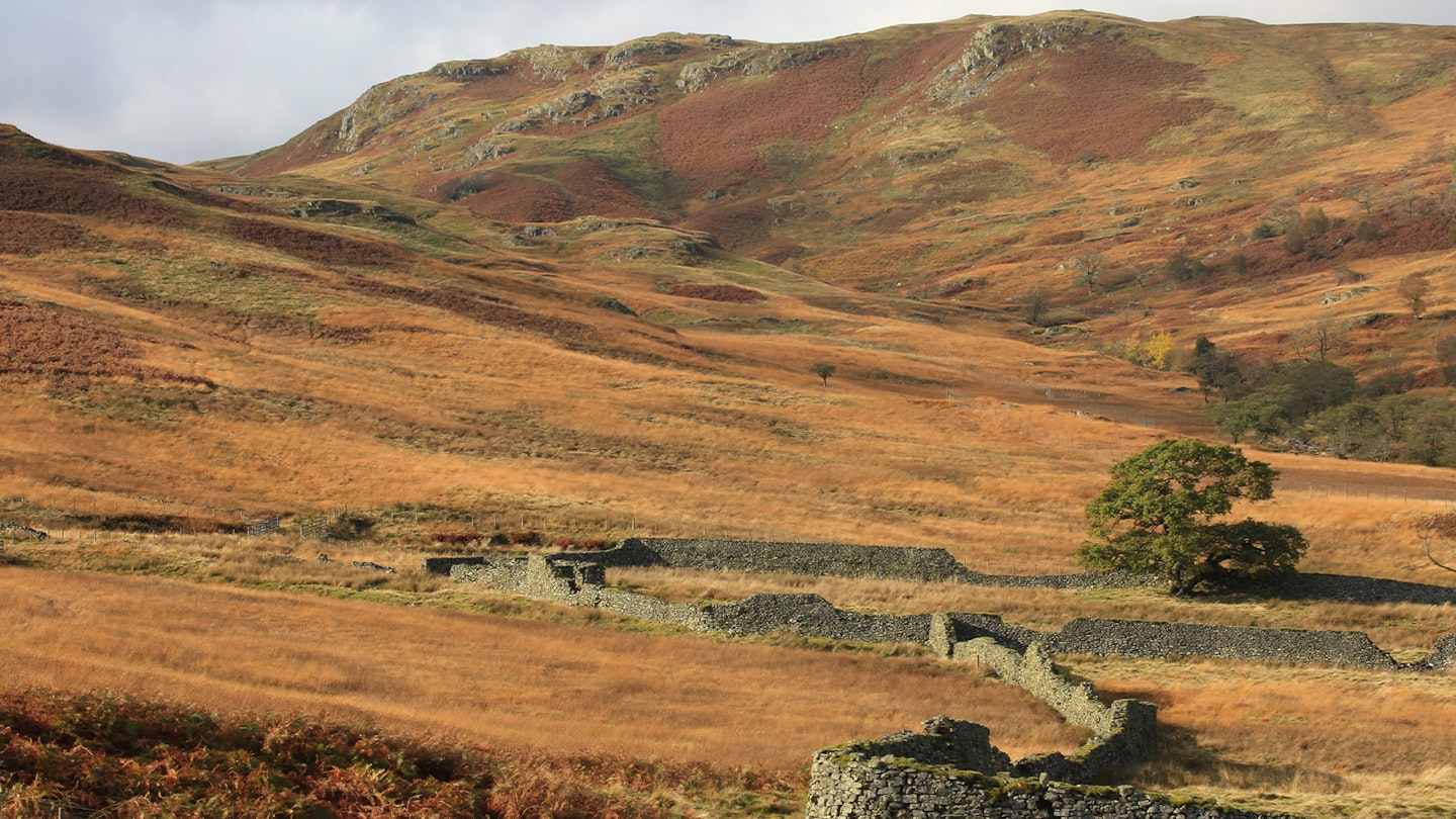
3. Castle Crag, Borrowdale
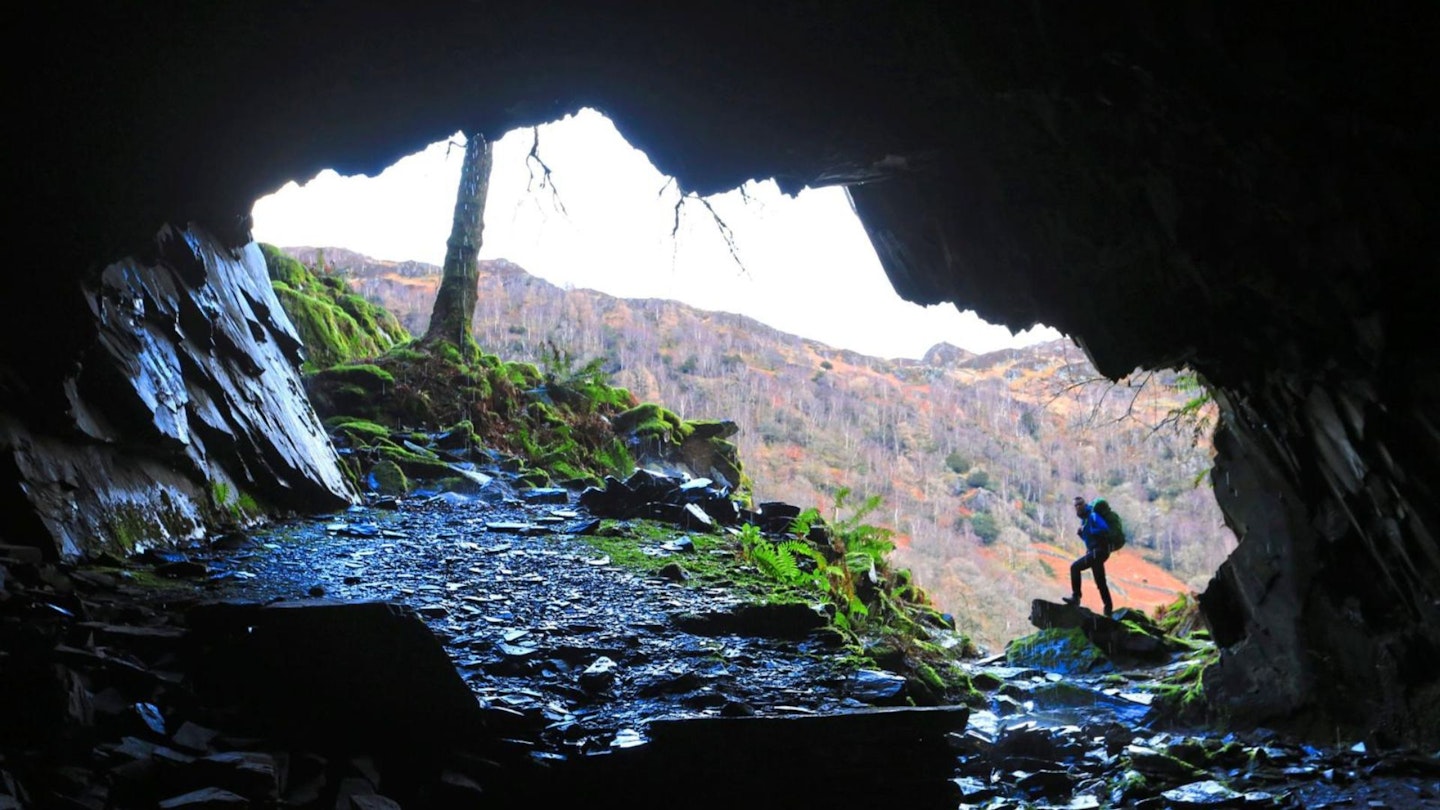
Guidebook author Alfred Wainwright wrote, "If a visitor to Lakeland has only two or three hours to spare yet desperately wants to reach a summit and take back an enduring memory of the beauty and atmosphere of the district, let him climb Castle Crag."
At just 290m, Castle Crag is tiny in stature but gigantic in charm – the ideal mountain for a quick yet delightful outing into the fells. It's one of the best walks in the Lake District.
This route also visits Millican Dalton's Cave, the summer home of eccentric Millican Dalton, a self-styled 'Professor of Adventure' who lived in the twin-entranced Borrowdale cave in the early 20th century.
Route details
Start/parking: National Trust car park in Rosthwaite, CA12 5XB
Terrain: Good fell paths with steep ascents and rough sections
Nearest town: Keswick
Refreshments: The Flock-in, Rosthwaite (017687 77675)
Public toilets: Rosthwaite car park
Public transport: Stagecoach Bus 78 Keswick-Rosthwaite
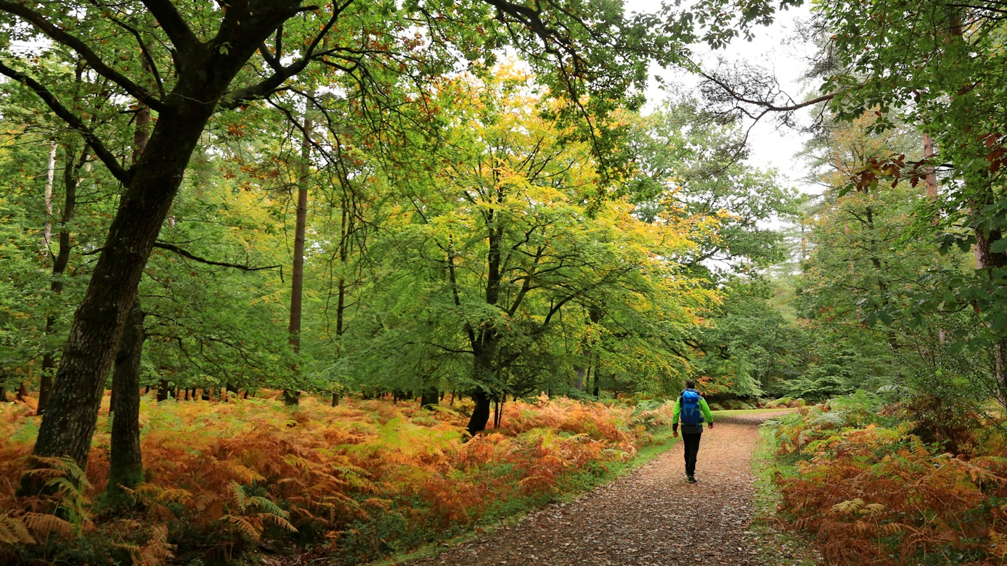
4. Beechenhurst loop, Forest of Dean
The Forest of Dean contains some of Britain’s loveliest and most accessible woodlands, much of it steeped in industrial history.
Beechenhurst Visitor Centre stands on the site of a former colliery, while the popular Family Cycle Trail follows an old mineral railway. The Sculpture Trail, meanwhile, is an intriguing collection of artworks inspired by the forest’s working past.
Cannop Ponds, originally constructed to power a waterwheel at Parkend Ironworks, are now a serene spot for birdwatching, while Woorgreens Nature Reserve offers a mix of woodland, wetland, heath and a beautiful lake. Autumn adds a golden glow to the trees, making this walk a feast for the senses.
Route details
Start/parking: Beechenhurst Visitor Centre, B4226 Speech House Road
Terrain: Good woodland paths and tracks through wetland and heath
Nearest town: Cinderford
Refreshments: Beechenhurst Cafe; catering van at Cannop Ponds; Speech House Hotel
Public transport: Bus 30 Gloucester-Broadwell via Beechenhurst (Mon-Sat)
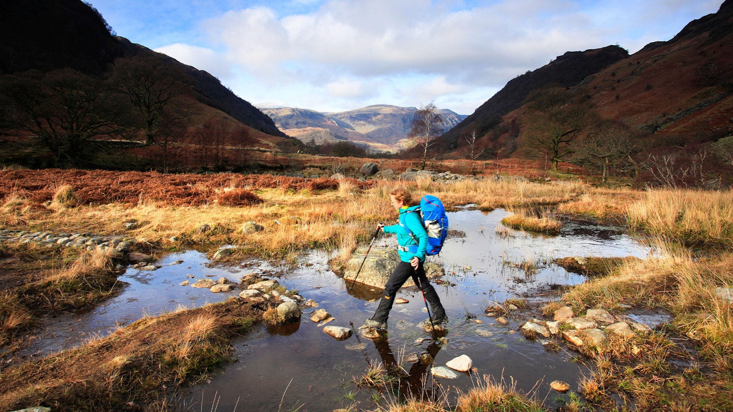
5. Teign Gorge, Dartmoor
The Teign Gorge is Devon’s lush, secret valley, its dense deciduous canopy looking almost Amazonian from the ridges above. The River Teign is perfect for wild swimming, with clear pools and tiny pebbly beaches.
For decades it powered Castle Drogo – Britain’s last castle, built between 1911 and 1930 for Julius Drew – through a hydroelectric scheme whose remains you can still see along the river.
Castle Drogo itself, now owned by the National Trust, makes a fine detour, while the walk passes two Iron Age forts – Cranbrook Castle and Prestonbury Castle – and the prehistoric stone circle of Mardon Down. Look out for the ‘headless cross’, a replica of a Neolithic standing stone steeped in myth and legend.
Route details
Start/parking: Castle Drogo car park
Terrain: Woodland and riverside paths with moderate climbs
Nearest town: Drewsteignton
Refreshments: Castle Drogo cafe (National Trust)
Public transport: Check local buses to Drewsteignton
6. Whitefield Moor, New Forest
This gentle circuit explores some of the most enchanting corners of the New Forest. It follows the meandering Ober Water and joins the Tall Trees Trail along Rhinefield Drive, where immense redwoods and firs planted in 1859 create a cathedral-like canopy.
In autumn, the mix of evergreens and turning deciduous trees is spectacular, and you may spot shaggy Highland cattle grazing near the pools and streams.
Route details
Start/parking: Whitefield Moor car park
Terrain: Forest and heath tracks and paths; can be wet or muddy in places
Nearest town: Brockenhurst
Public toilets: At the start car park and Blackwater car park
Public transport: None
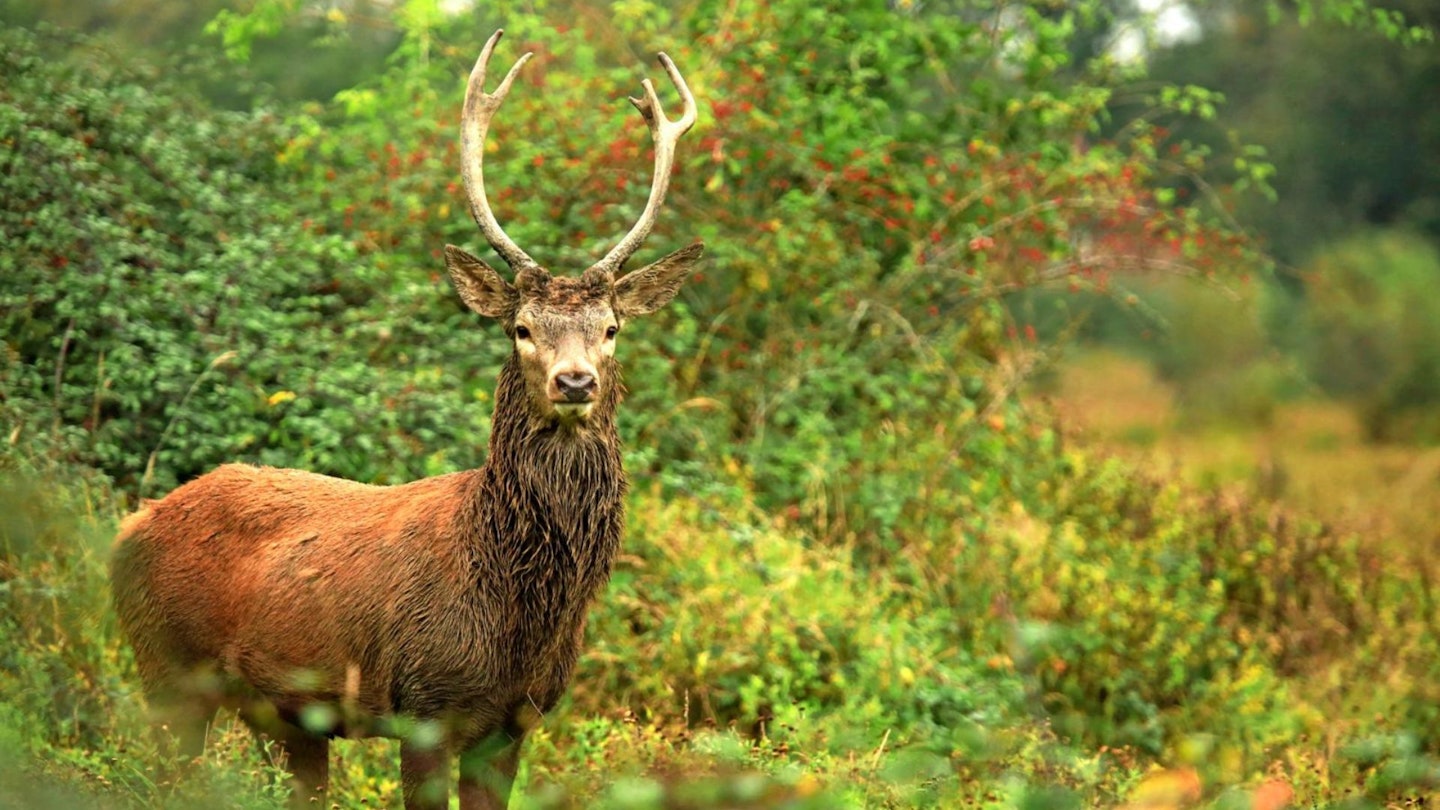
7. Red deer rut, Exmoor
This classic Exmoor walk combines a beautiful riverbank path with open moorland, field paths and quiet lanes. A prehistoric stone circle and burial mound crown Withypool Hill, but the highlight is Tarr Steps, a remarkable medieval clapper bridge of 17 massive stone slabs, each over two metres long and weighing up to two tonnes. The bridge has been rebuilt many times, most famously by Royal Engineers after the 1952 floods.
The well-wooded Barle Valley is excellent for spotting red deer, especially in autumn when the leaves have fallen and visitors are few. Exmoor ponies often graze on Withypool Hill (398m), a superb viewpoint for Withypool Common and distant Dunkery Beacon.
Route details
Start/parking: Withypool car park, TA24 7QP
Terrain: Footpaths, bridleways and quiet lanes with three ascents; avoid if the river is in spate
Nearest town: Dulverton
Refreshments: Tarr Farm near Tarr Steps; Withypool Tea Rooms and the Royal Oak, Withypool
8. RSPB Minsmere, Suffolk
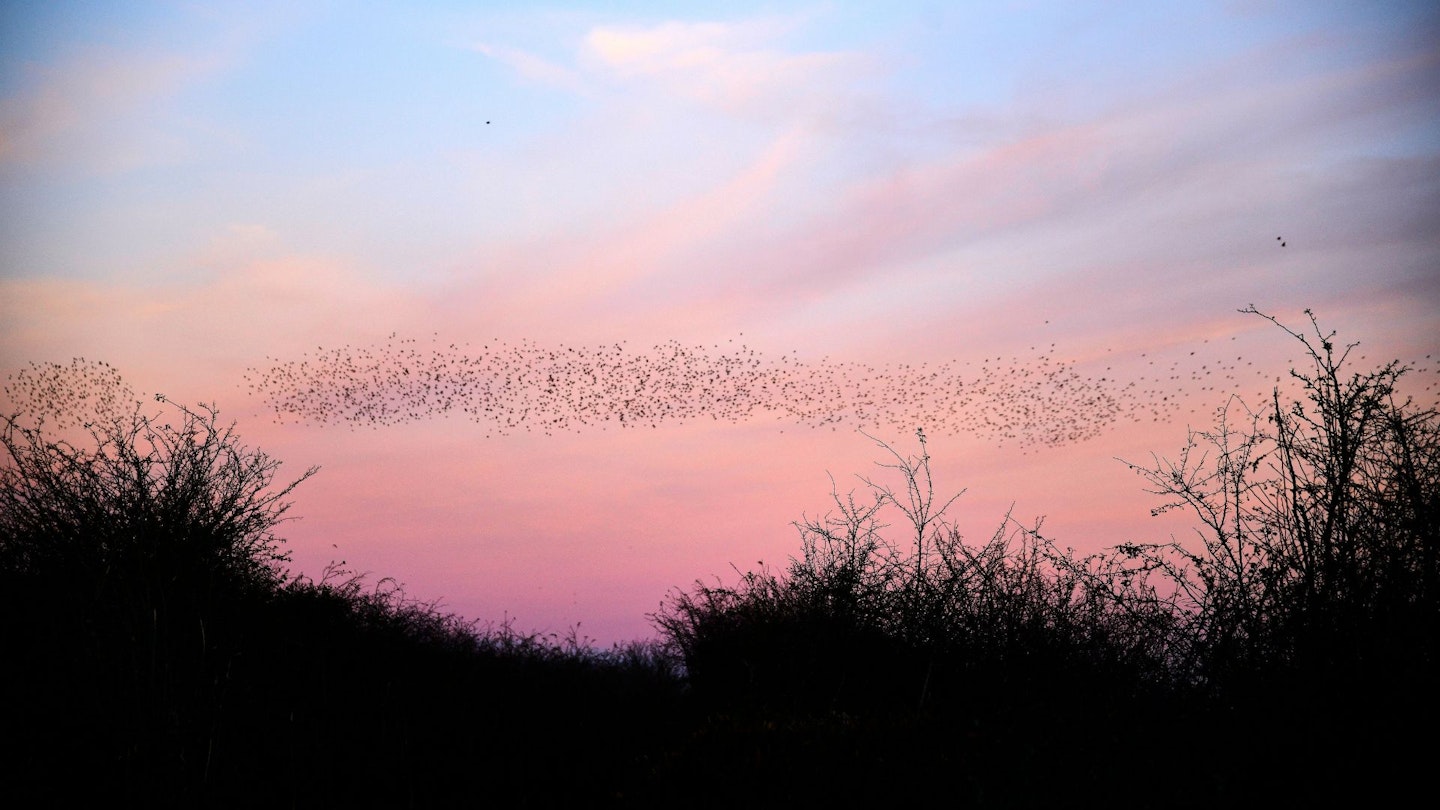
During World War II, the farmland around the Minsmere River was deliberately reflooded to help defend the coast from invasion. Walkers can still trace the line of concrete anti-tank blocks along the shingle beach. After the war, the wetlands evolved into RSPB Minsmere, a flagship nature reserve of reedbeds, heath, woods and shingle that teems with birdlife year-round.
This easy walk combines a coastal ramble with a loop through Dunwich Heath and a visit to the atmospheric Minsmere Sluice chapel. Look for marsh harriers, bitterns and migrating starlings, especially striking in the golden light of autumn.
Route details
Start/parking: National Trust car park, Coastguard Cottages (£6, free for NT members)
Terrain: Easy, level paths, tracks and quiet lanes; some muddy patches
Nearest town: Leiston
Refreshments: Eel’s Foot Inn, Eastbridge (01728 830154); seasonal NT tearoom and kiosk at start/end
Public transport: Connecting Communities demand-responsive minibus (book on 01728 635938)
9. Kielder Water, Northumberland
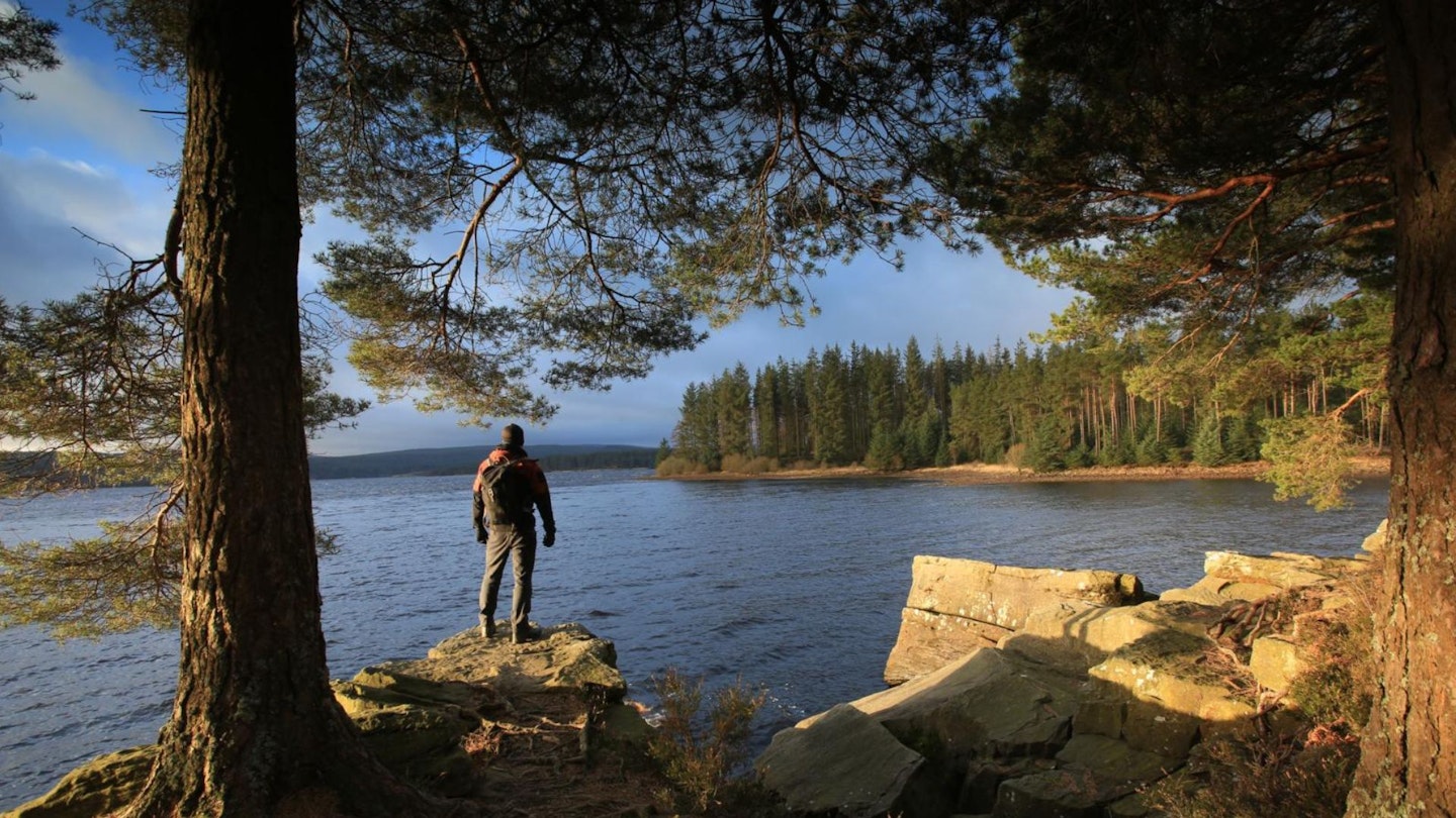
England’s largest forest and home to the country’s biggest man-made lake, Kielder feels vast and wild. This easy loop around the Bull Crag peninsula offers changing views across Kielder Water as tree-covered hills rise on every side. Autumn brings a colourful show of fungi, while art installations and the 12 brass-rubbing plaques of the Kielder Keepsake trail keep younger walkers entertained.
Kielder is beautiful year-round, from snowy winters to bright spring mornings. Just pack strong insect repellent if visiting in midsummer to deter the infamous midges.
Route details
Start/parking: Kielder Waterside (formerly Leaplish), parking charge
Terrain: Broad, mostly flat multi-user paths shared with cyclists; dog and family friendly
Nearest town: Bellingham
Refreshments: Forest Bar and Kitchen at Kielder Waterside (01434 251000)
10. The Malvern Hills
Small but perfectly formed, the Malverns rise steeply above the Herefordshire–Worcestershire border. This ridge walk takes in Worcestershire Beacon and Herefordshire Beacon, modest hills with expansive views. From the summit you can see across the Severn Valley and, on a clear day, as far as the Brecon Beacons.
The hills have inspired generations: composer Edward Elgar found melodies on these ridges, while poet AE Housman wandered here musing on verses for A Shropshire Lad. Geologists will relish the ancient rocks and dramatic faultline folds around Gullet Quarry, while history buffs can explore the Iron Age hill fort at British Camp. Autumn’s low light makes the colours of the woods and hillsides glow.
Route details
Start/parking: British Camp car park (Malvern Hills)
Terrain: Steep but short ascents and ridge paths with woodland sections
Nearest town: Great Malvern
Refreshments: Pubs and cafés in Great Malvern
Public transport: Great Malvern railway station; local buses to British Camp
FAQ: planning your autumn walk
What should I wear for an autumn walk?
Layer up with a moisture-wicking hiking base layer, a warm mid-layer and a waterproof shell. Waterproof boots with good grip are essential for muddy trails.
How can I make the most of shorter daylight hours?
Start early and carry a good headtorch. Always check sunset times before setting out.
Any other gear recommendations?
A reliable OS paper map and compass, a vacuum flask for hot drinks, and trekking poles for slippery descents can make your walk safer and more enjoyable.
Are these walks dog-friendly?
Most are suitable for well-behaved dogs on leads, but always check local restrictions, especially during deer rutting season.
About the author

Milo Wilson is one of our full time writers who inexplicably said in his job interview that autumn was his favourite thing ever. He's been on a mission ever since – a mission to convert our readers to be as into this gorgeous golden season.