There’s something magical about walking beside water and when you mix the finest lakes in Cumbria with the rugged beauty of the Lakeland fells it becomes a thrilling experience.
Below, Trail magazine has picked out five of the finest lakeside trails that combine water, woodland, wildlife and, of course, mountains. All with mapped digital routes for you to download and follow.
1. Wast Water
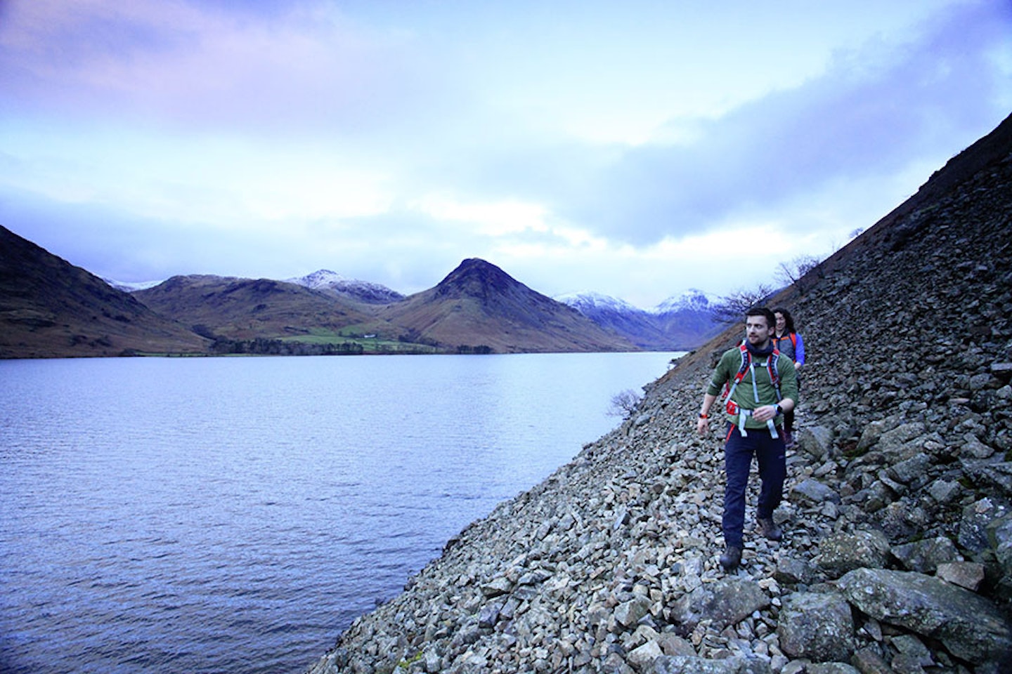
Situated within the wild and remote valley of Wasdale, at the foot of England’s highest mountain, lies the 3-mile stretch of Wast Water.
The scenery here is truly stunning, with the giants of the western Lake District including the Scafells, Yewbarrow and Great Gable rising on all sides of the lake. It’s possible to walk a full 8-mile loop of Wast Water, mixing the roadside trail on the western shore with the rough and rocky path that traverses The Screes path on the eastern edge.
It can get very busy here in peak season with endless crowds streaming up Scafell Pike, but time it right and you could get large sections of the lakeside trails all to yourself. After stretching your legs, why not pay a visit to neighbouring pubs such as Wasdale Inn for refreshments.
2. Ullswater
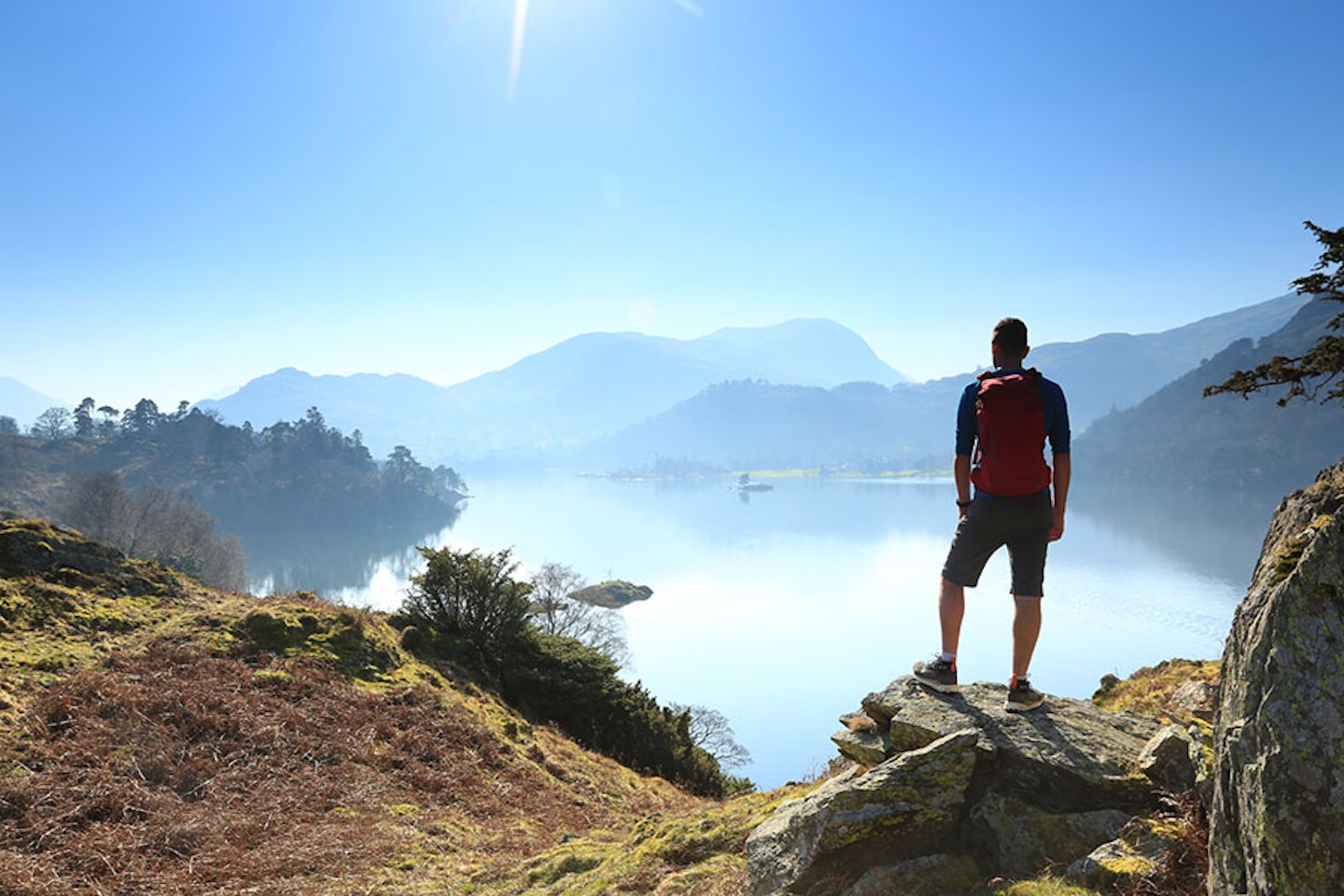
It’s pretty obvious why the Ullswater valley is a sanctuary for walkers and water lovers. Nestled away from the hustle and bustle, Ullswater’s lakeside walks provide an abundance of peace and tranquillity to all who visit.
The second largest lake in England cuts through 9 miles of rolling countryside and rugged mountain scenery between Patterdale and Pooley Bridge.
The full Ullswater Way can be walked in a 20-mile loop around the circumference of the lake, and you can spice up sections with mountain ascents or even by cheating with a sneaky bus or boat trip.
It’s a long but relatively easy walk for seasoned hikers, with plenty of shops and pubs to visit in the surrounding villages, making this route ideal for all ages. The rocky, wooded section that passes below Place Fell is one of the best stretches of lakeside path in England.
3. Derwent Water
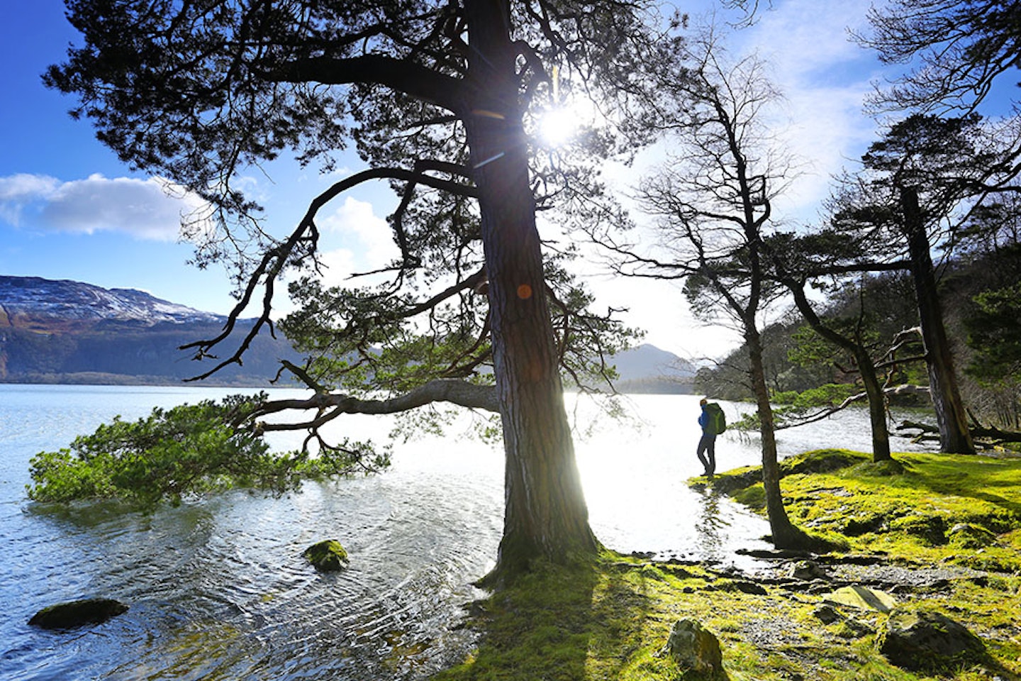
Just a short walk from the pubs, cafes and gear shops of Keswick sits the stunning and island-dotted expanse Derwent Water, also known as ‘Keswick’s Lake’.
This is about as spectacular as lakeside scenery gets anywhere in Britain, with famous local fells like Cat Bells, Skiddaw, Walla Crag and Grisedale Pike filling the skyline at the northern end of the lake, and the wooded jaws of Borrowdale and its big mountains enticing walkers to the south.
A wonderful 10-mile trail loops around the lakeshore through ancient woodland on a way-marked path on easy-going level ground. If you’d like to explore the several islands peppered across the lake, jump on one of the regular boat cruises that start and stop at key spots along the shore.
Most of the pubs and cafes around Derwent Water are based in Keswick or Portinscale, but there are an abundance of idyllic picnic spots providing epic photo opportunities throughout your walk.
Get Trail magazine's Derwent Water Lakeside Loop digital route
4. Buttermere
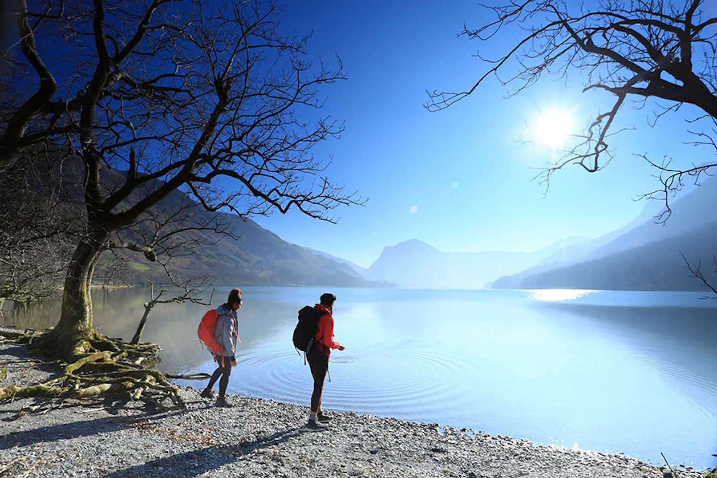
Famous for its natural beauty and breathtaking scenery, it’s no surprise the Buttermere valley is a magnet for walkers and nature lovers alike. Boasting not one but two lakes, Buttermere village is sandwiched between Crummock Water and Buttermere, surrounded by green fields and towering fells sloping up from their shorelines.
A relatively easy 4.5-mile walk, suitable for all ages, loops around Buttermere with a mixture of terrain including woodland trails, well-made paths and even a short stretch of rocky tunnel below Goat Crag.
The walking is easy but the scenery is majestic, with Fleetwith Pike and Haystacks dominating the views at the head of the valley. Between April and June there may be obstructed paths at the north end of the lake due to nesting sandpiper birds, although other sections of Buttermere will still be open to the public.
5. Ennerdale Water
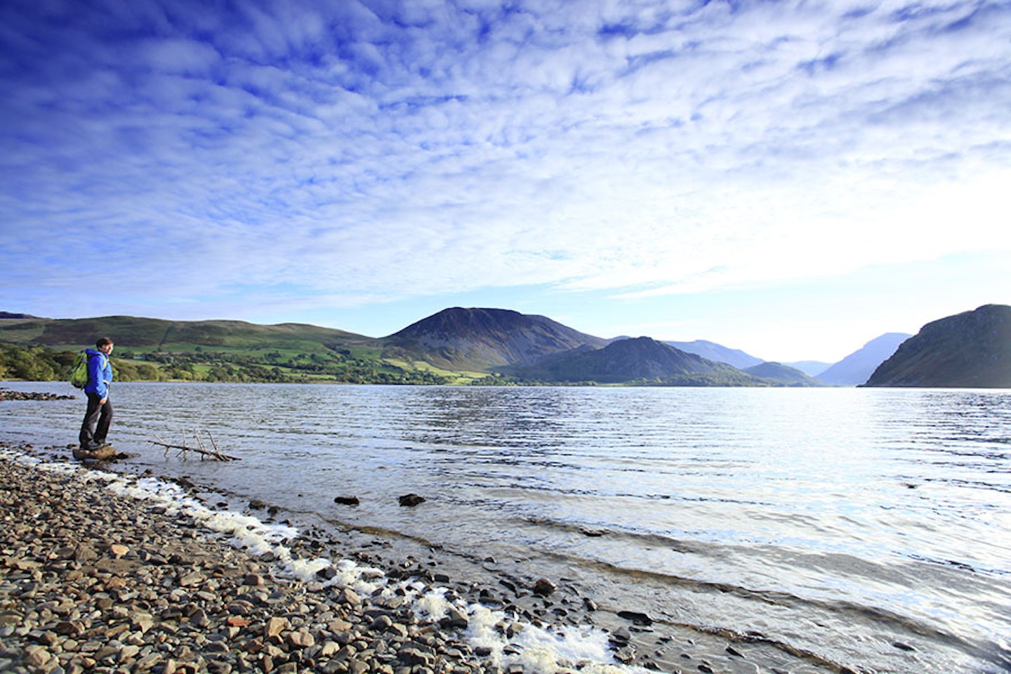
Escape to one of the wildest locations in Cumbria and walk the edges of this pristine glacial lake. Isolated from busy roads and traffic, Ennerdale Water sits peacefully intact, surrounded by undulating hills and nearby forestry plantations.
A 7.5-mile loop around Ennerdale Water can be walked in approximately 4 hours but expect a good workout as you traverse across the shoreline and beneath nearby crags. This lake will certainly give you that feeling of remoteness, with efforts currently being made to enhance and maintain the valley as part of the Wild Ennerdale project.
If you fancy extending your walk beyond the lake, Ennerdale valley itself and the surrounding mountains of Pillar, Kirk Fell, Steeple, High Stile and Great Gable offer some of the best hillwalking routes in England. Car parking is available on the northern shore of the lake at Bowness Knott.
Get Trail magazine's Ennerdale Water Lakeside Loop digital route
For more inspiration, see our list of the best Lake District walks.

Get HALF-PRICE digital Ordnance Survey Maps for the whole of Great Britain by subscribing to Trail magazine.
Need help with OS Maps? Try the OS Maps online FAQ and OS Maps quick start guide for further assistance
%20Buttermere.jpg?ar=16%3A9&fit=crop&crop=top&auto=format&w=1440&q=80)
