The Southern Carneddau massif is home to seven of the 15 Eryri 3000s, with most of its rock-strewn summits punctuating whaleback ridges that scarcely drop below the 900m line. It’s no surprise, then, that it’s as challenging to walk as it is spectacular.
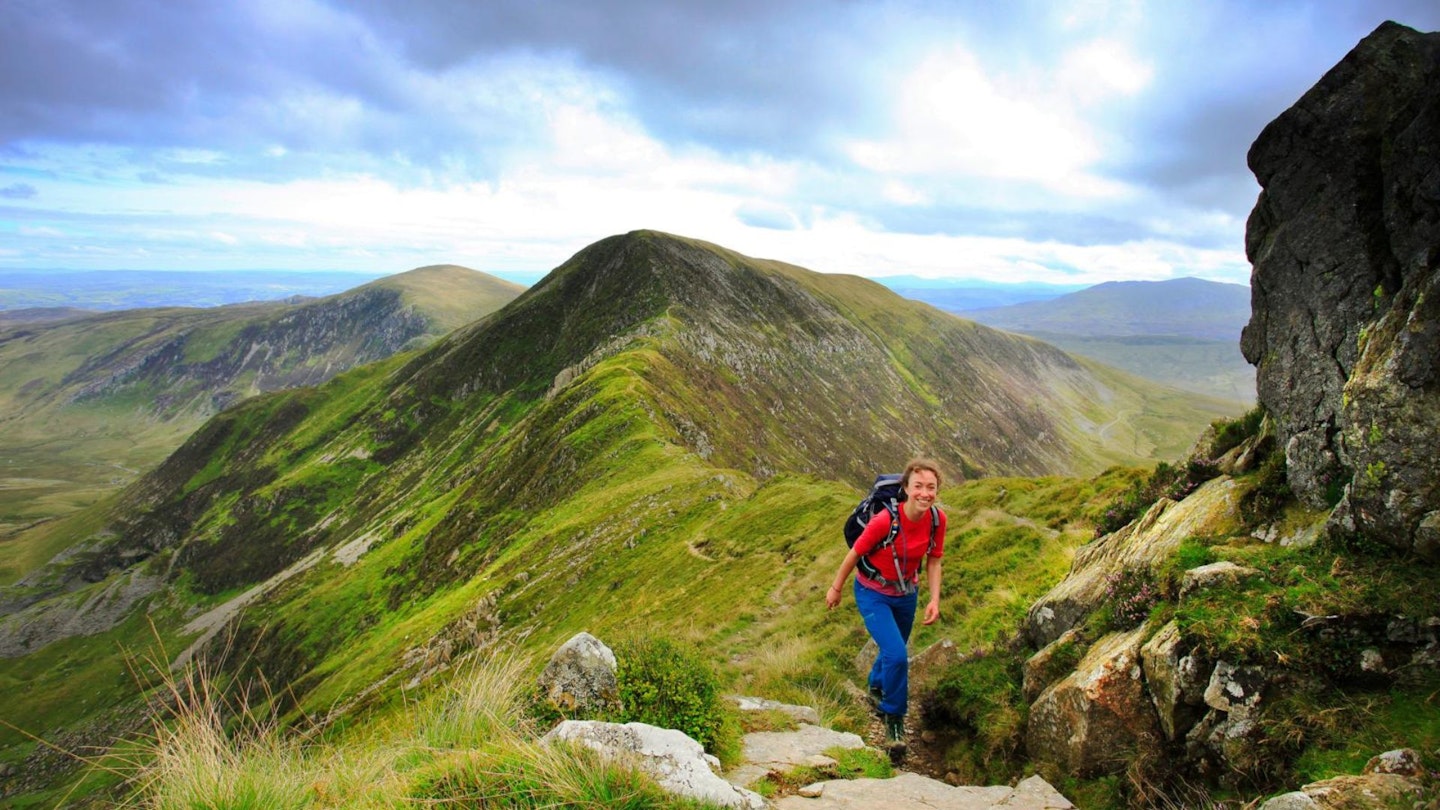
This route ups the ante even further though, by linking together the more airy of these ridges to provide short, easy, yet exhilarating scrambling high in the hills.
It starts in Cwm Lloer, as remote a cwm as you’ll find in the area despite being so close to the main thoroughfare, and then leaves the valley floors via a succession of short scrambles that set the tone for the rest of the day. From Pen yr Ole Wen, you bridge across to Carnedd Dafydd and onto the highest of them all, Carnedd Llewelyn, and that’s the big three ticked off.
The fun’s not over yet though, and there are still a few awkward exposed moves to get you down into Bwlch Eryl Farchog, and a few more to gain Pen yr Helgi Du – the last top of the day. The soft ground of Y Braich then provides a cushioned descent back to the valley floor.
How hard is this loop of the Carneddau's highest peaks?
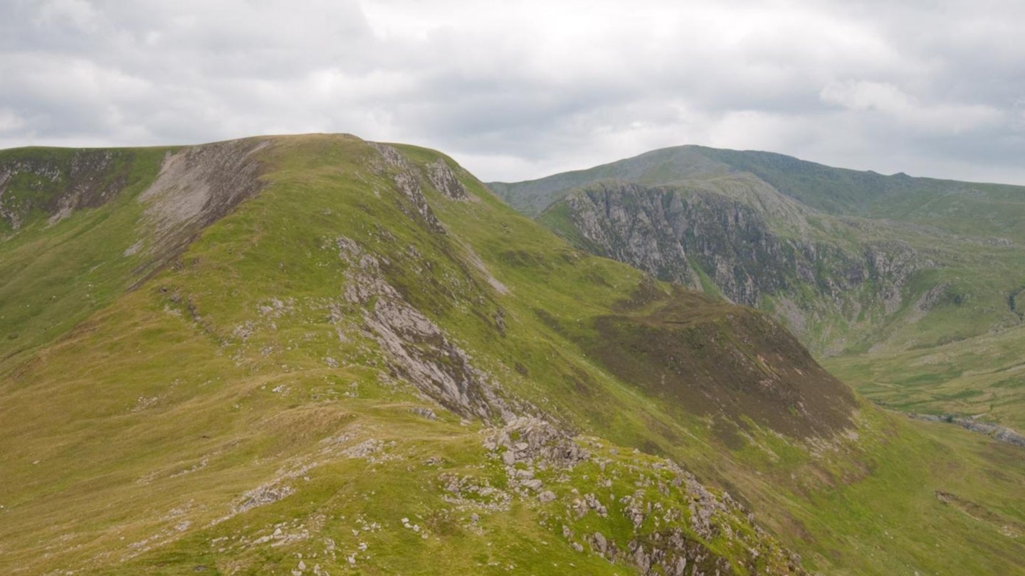
DIFFICULTY: Hard | DISTANCE: 16km | TIME: 6-7 Hours | TOTAL ASCENT: 1090m
FITNESS: This is a tough outing with a lot of ascent – some of it very steep and rough.
TERRAIN: Rocky mountain paths with a few grassier sections and a return on tarmac.
NAVIGATION: Mainly clear paths, though some rocky sections where good visibility will help.

Where is the start of the walk?

Start at eastern end of Llyn Ogwen on A5 – parking layby nearby (SH668605); more lay-by parking on A5 along Llyn Ogwen. Can get busy, so please park responsibly.
What's the best map for hiking the southern Carneddau peaks?
-
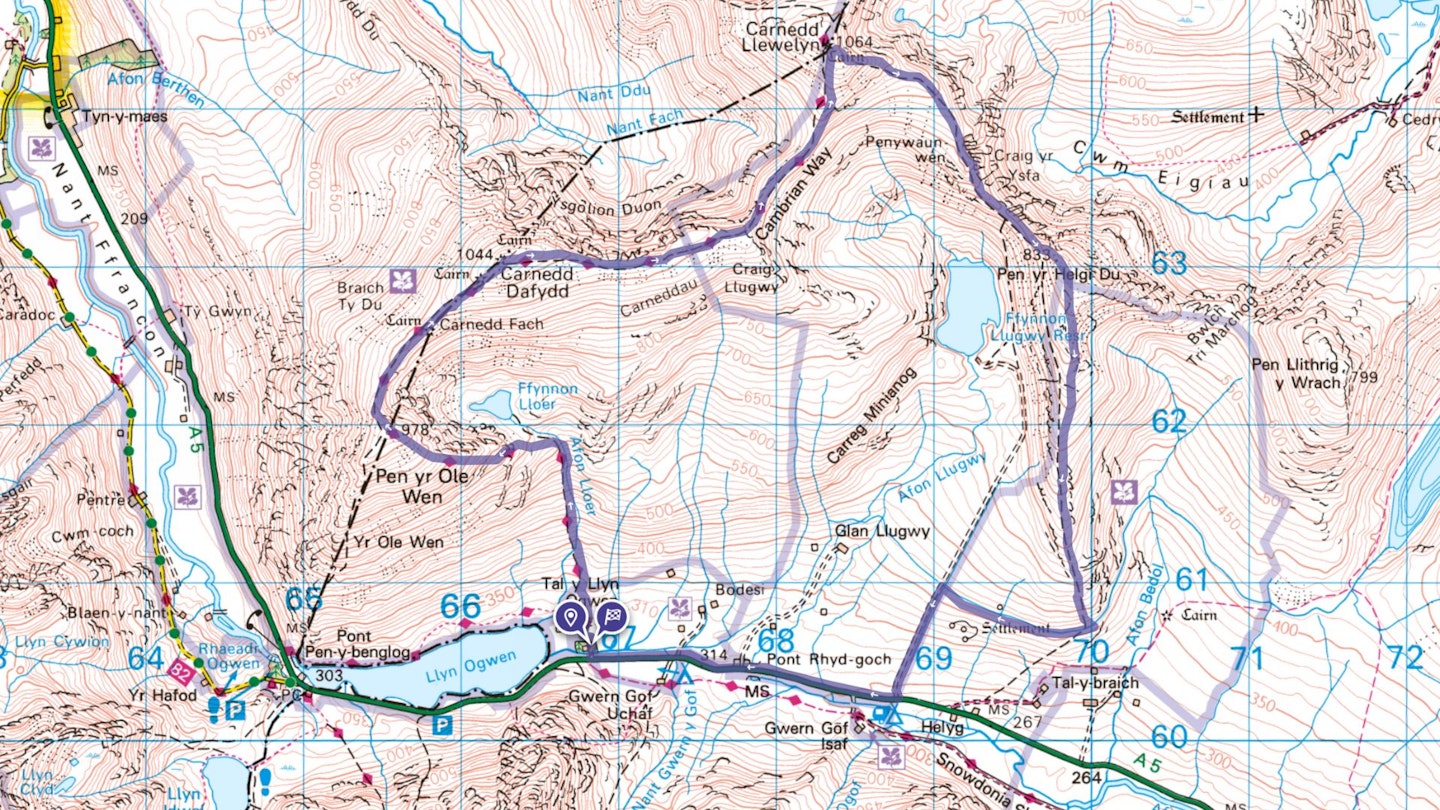
CLICK HERE to view and download our digital route guide in OS Maps
-
OS Explorer OL17 (1:25k)
-
OS Landranger 115 (1:50k)
Southern Carneddau Greats | Step-by-step route guide
-
Leave the A5 at the eastern end of Llyn Ogwen and take the track that runs north past Glan Dena. Continue towards Tal y Llyn Ogwen Farm, but rather than turning left towards the farm, keep straight-ahead to follow a drystone wall to a stile. Cross and continue, now following marker posts across soft ground. These lead uphill and into Cwm Lloer. The Afon Lloer acts as a guide. Once in the cwm, break half left to cross some boggy ground to the foot of the eastern ridge of Pen yr Ole Wen, where a short steep gully then provides the first of a number of easy scrambles.
-
Continue straight on above the gully, keeping the steep escarpment to your right, and follow the ridge, eventually reaching easy ground close to the 978m summit of Pen yr Ole Wen. Now you’re up, the going eases for a while, so head north to follow the clear path down into Bwlch yr Ole Wen, keeping the steep drop into Cwm Lloer to your right. Pass a huge cairn and drop into a tiny niche, before climbing again to reach the 1044m summit of Carnedd Dafydd.
-
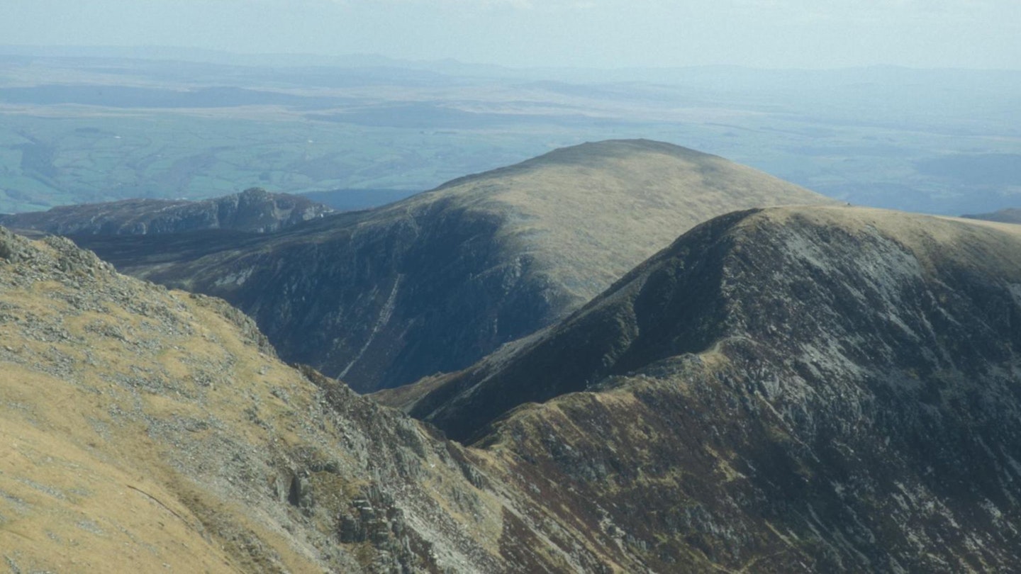
From here, drop east and follow the cliff tops along; now above the legendary Ysgolion Duon – Black Ladders – a popular remote winter climbing crag. Carnedd Llewelyn looms high above now and as the precipitous crags to your left give way to gentler grassier slopes, the ridge narrows to provide you with an airy skyline walkway. At Bwlch Cyfrwy-drum an obvious stony track leads up a final rock-strewn slope to the summit plateau, where there’s a vast selection of cairns and shelters. If the weather’s fair, there are also the kind of views you’d expect from the third highest summit in the land.
-
To descend, leave Carnedd Llewelyn to the south-east, following a clear path above steep cliffs. A peep over will reveal the shimmering waters of Ffynnon Llyffant – Wales’ highest lake. Keep right at a fork, and continue easily down onto the spur of Penywaun wen, where there areeven better views, this time over Craig yr Ysfa into the remote u-shaped valley of Cwm Eigiau. Keep ahead to scramble easily down into Bwlch Eryl Farchog – another delightfully airy ridge. And once in the bwlch, continue to the foot of the steep north-western flank of Pen yr Helgi Du, where another short, sharp scramble gains the last summit of the day. Upon arrival it isn’t as dramatic as it feels on the approach.
-
Turn right now and follow a clear path down the long grassy spur of Y Braich. Drop steeply to a gap in a wall and then bear diagonally left to cross a pasture and drop to a footbridge over a narrow leat. Cross this and head right to trace its path around the hillside to the Ffynnon Llugwy access road. Bear left onto this and follow it easily down to the A5, where you should turn right, to return to the start, with great views over the east face of Tryfan.
What walking gear do I need for this route?
Here's a selection of the best walking gear selected by LFTO's testing team: Walking boots | Hiking daypack | Waterproof jacket | Walking trousers | Walking poles | Walking mid-layers | Base layers
Where can I eat and drink?
Refreshments are available at YHA Idwal Cottage or head down to Capel Curig for the Tyn y Coed Inn.
Where's the best place to stay?
There are 2 campsites on the A5 close to the walk’s start. For B&B, try bryntyrchinn.co.uk or the Rocks Hostel, therockshostel.com
About the author

Tom Hutton is a long-time contributor Live for the Outdoors, as well as our magazines Trail and Country Walking, and is one of the most respected outdoor writers in Britain.
This route originally appeared in the October 2024 issue of Trail magazine. CLICK HERE to become a Trail magazine subscriber and get 50% off a whole year of digital OS Maps.
