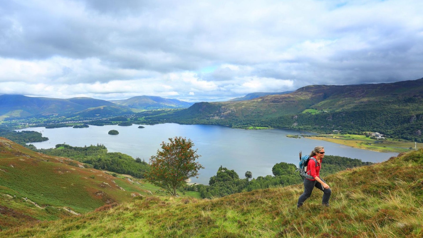
Cat Bells is a 'Marmite' mountain. Its enticing and shapely silhouette lures many an unwary novice from the shores of Derwent Water up its slopes, only for them to gain a rude appreciation that even low-lying Lakes fells can be rather steep in places.
Conversely, many experienced Lake District walkers ignore it as 'just a tourist hill'. Too low and busy to be worth bothering with. But don’t leave it just to the tourists! Cat Bells is a lovely hill with some great rocky entertainment and fabulous views.
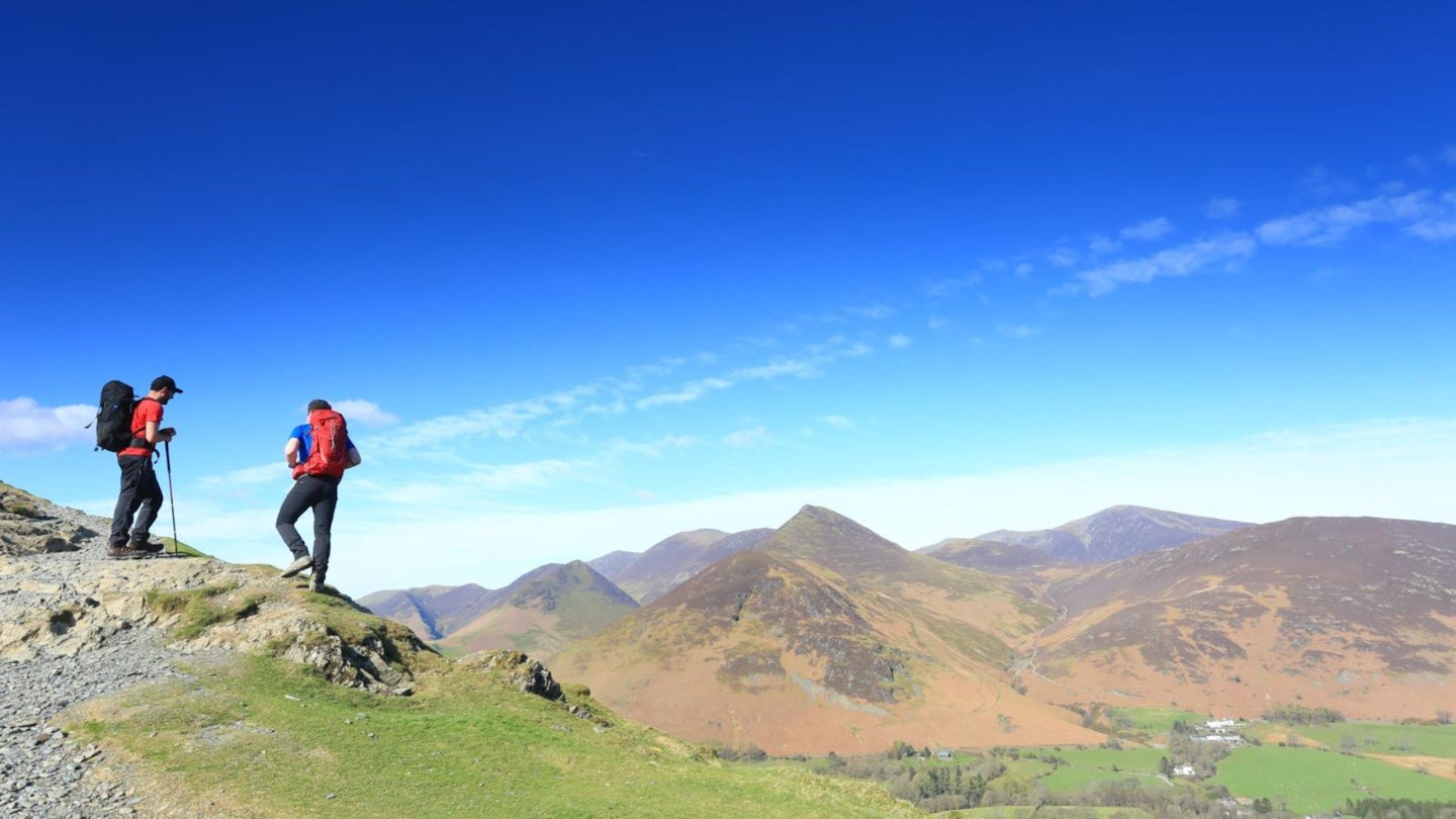
Although you’ll be unlikely to get the summit to yourself, go early or late – in the year, as well as the day – to avoid the worst of the crowds. Then, for a connoisseur’s approach, try a sneaky scramble over Knott End to Maiden Moor.
This route is not for those suffering from a fear of heights or exposure, as its sheer sides make the summit slopes of Cat Bells look gentle!
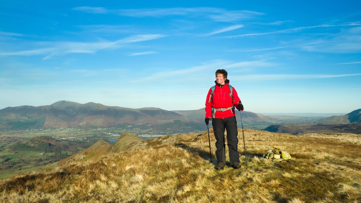
You'll need good scrambling skills, despite the broken ground, but it’s an entertaining route that also sets up an approach to a hidden walkers' gully that few seem aware of – possibly because it's surrounded by the guarding bulwark of Bull Crag. This is a popular Lakeland peak done differently.
How hard is climbing Cat Bells & Maiden Moor?
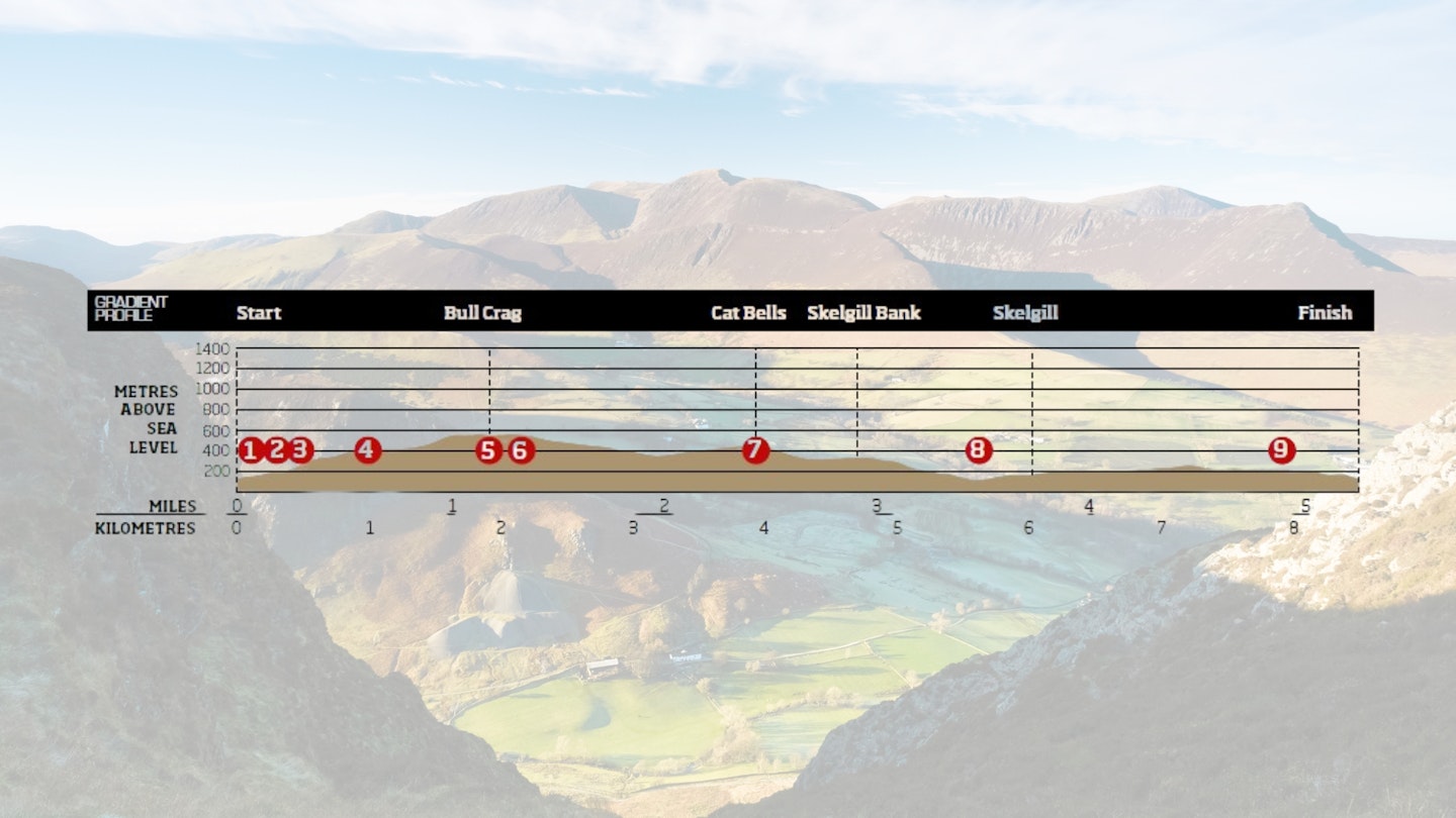
DIFFICULTY: Medium (easy walking when high, but very steep ascent) | DISTANCE: 8.5km (5¼ miles) | TIME: 3.5 hours | TOTAL ASCENT: 650m
FITNESS: No problems for experienced walkers.
TERRAIN: Extremely steep, rocky, heathery ground over Knott End requires scrambling skills; scree-filled gully near Bull Crag; easy summit path – some confusion possible in low vis; rocky sections on Cat Bells descent are tough in wet conditions; Yewthwaite Gill is passable in low flow, or you may need to take roads from Skelgill back to Chapel Bridge.
NAVIGATION: Straightforward on a clear day but navigation skills are needed if the cloud drops, particularly on early sections and around Cat Bells' summit.
Where is the start of the walk?
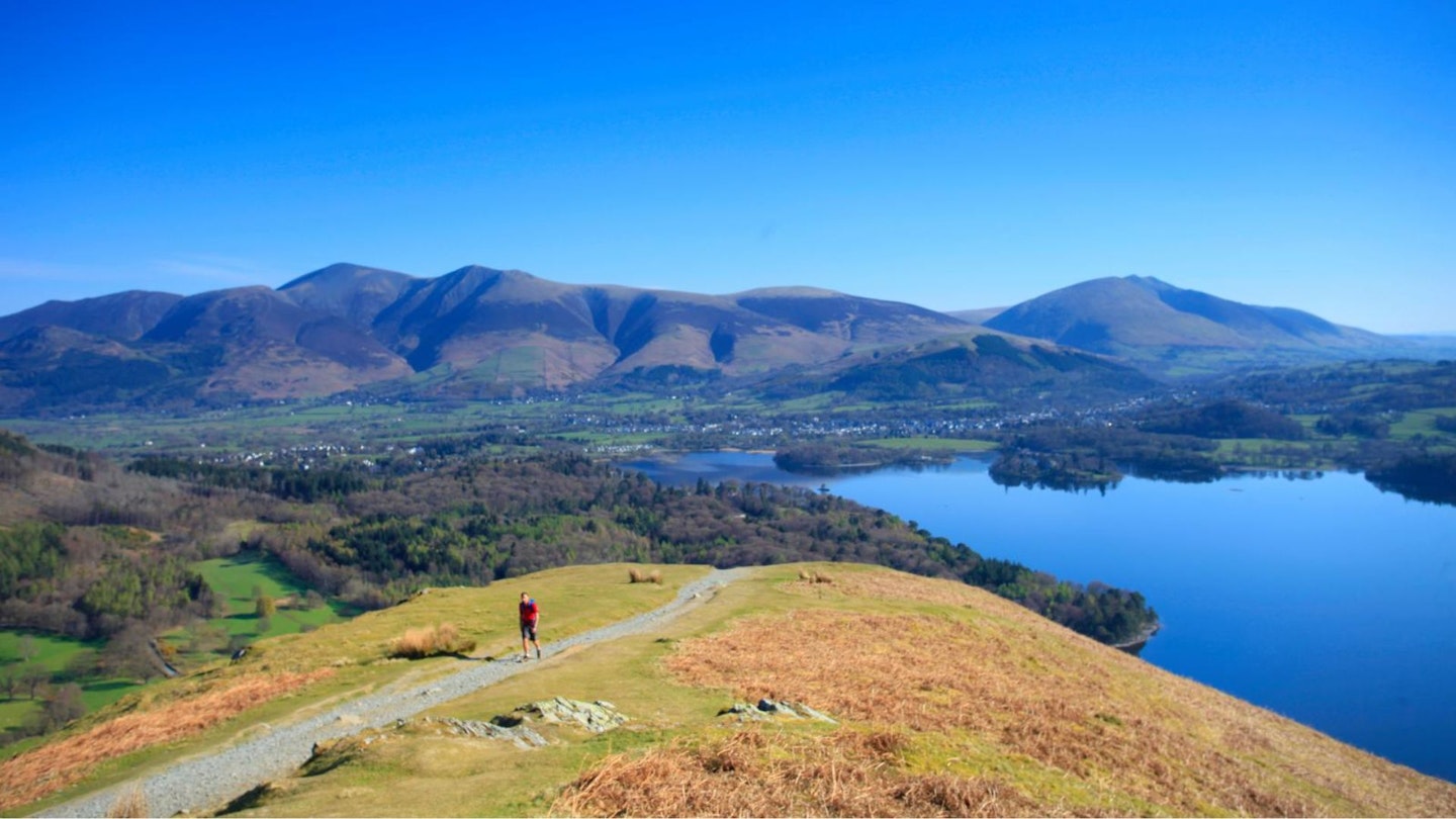
Chapel Bridge parking. which has limited space and asks you to pop some money in the honesty box. The nearest town is Keswick, which may be a better starting point because parking around Cat Bells is increasingly becoming a problem.
We can highly recommend catching the Hawes End Shuttle boat across Derwent Water to Cat Bells from the keswick-launch.co.uk, but check the times before you go. This also adds a decent chunk of distance to your walk in terms of reaching the start point.
What's the best map for Cat Bells & Maiden Moor?
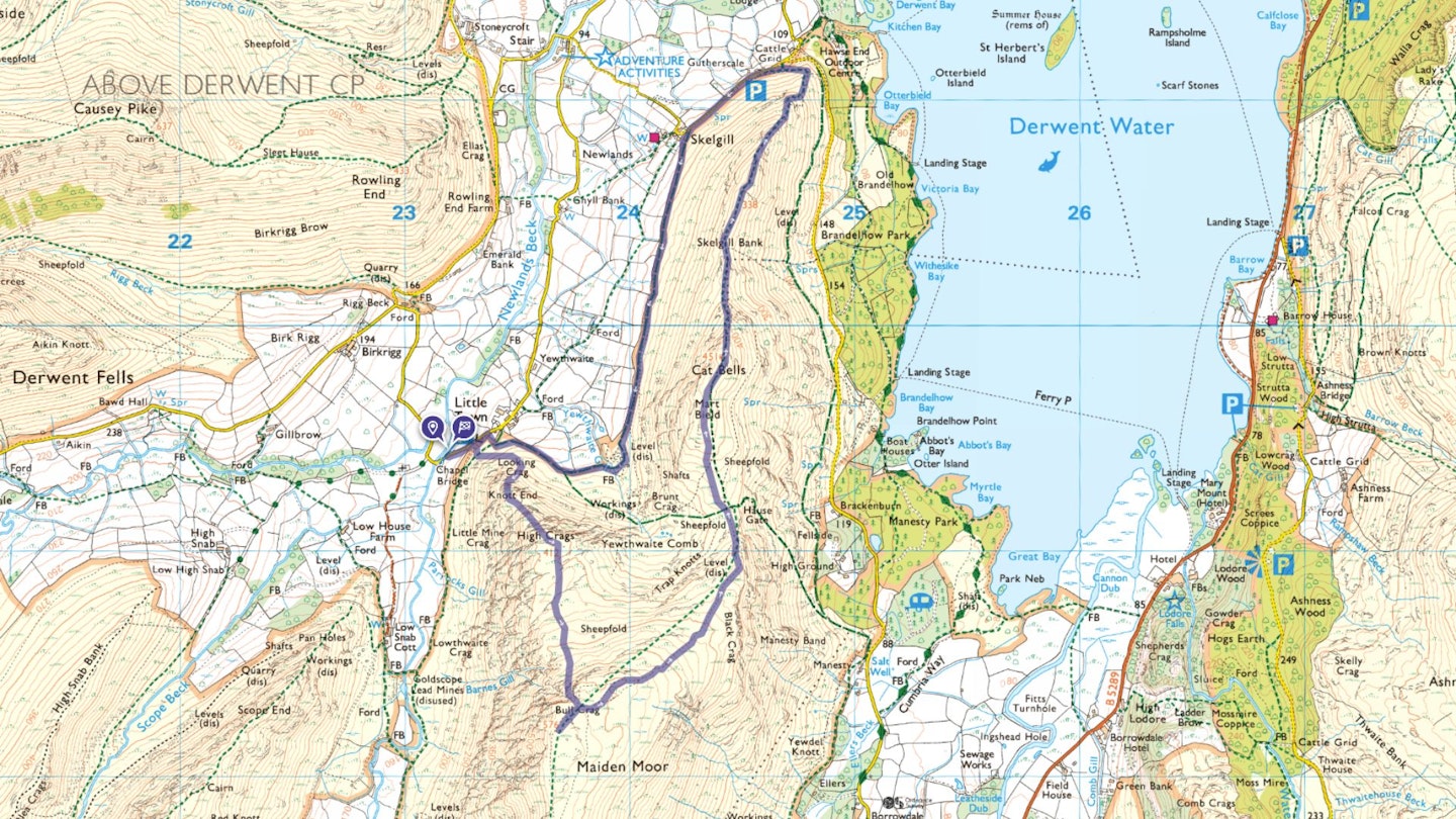
-
CLICK HERE to view and download our digital route guide in OS Maps
Cat Bells & Maiden Moor walk | Step-by-step route guide
-
Go 100m up the road towards Keswick. Cross a stile into access land below Knott End. Follow the narrow, stone-pitched path, which leads just right of a large, solitary gorse bush, going over a vehicle track to rise diagonally and steeply uphill around Knott End’s lower flank. Once you have turned the corner, head upwards on steep bracken and heathercovered ground, aiming for a grassy line to just left of a prominent holly tree atop the heather line. Zigzagging is recommended.
-
Here, above the holly tree, the gradient remains severe. Zigzag up narrow, grassy ledges between small outcrops, or take entertaining rocky diversions if you wish – six points of contact and a handful of heather may occasionally be useful! The ascent eases at a small, grassy terrace above a hawthorn tree, where the scrambling ends and the view of Cat Bells improves.
-
A slight grassy col marks the boundary between Knott End and High Crags. An intermittent, narrow sheep track now alternates between slightly less steep, grassy terraces and steep rocky heather, but it isn't as exposed as Knott End.
-
Above High Crags, the ground opens out into a grassy bowl. Head slightly right across a minor grassy dip, past a ruined building, then directly uphill to Bull Crag (below the summit of Maiden Moor). This looks improbable as a way up, but head right immediately below the crags, and into a somewhat hidden gully.
-
This gully is much wider than it first appears and, although extremely steep and scree-ridden, provides a viable way up to the top of Maiden Moor that seems known to few, other than local Herdwick sheep. At the top, turn right onto a track which roughly runs along the plateau edge to reach the small cairn marking 576m 'summit' of Maiden Moor.
-
The cairn makes a natural high point to turn back from. Navigation over the broad ridgeline of Maiden Moor and Cat Bells is straightforward, despite the multitude of paths. Stay on the middle of the broad ridge, in a roughly left-bending arc and down over a few rockier sections to a grassy col at Hause Gate. A well-defined track rises up the far side to the rocky summit of Cat Bells.
-
The summit itself is lovely, scrambly rock (no hands needed); avoiding paths tends to result in a shorter but less pleasant rocky section. Now descend steeply along the ridgeline, with a couple of short but lofty rocky sections. Zigzag down beside erosion control fences above the road to a path junction. Fork left, then stay left at the next path junction to avoid an unnecessarily early descent to the road.
-
Join the road by a small carpark, and head left along it towards Skelgill. As you near the farm entrance, fork left onto a bridleway to Yewthwaite roughly paralleling the ridgeline route in reverse under Cat Bells. After roughly 1.5km, fork left just before some mine workings to take an arc above one set of obvious workings and across the Yewthwaite Gill. The footbridge was washed away by floods in recent years, but you'll be able to carefully ford the stream in low spate.
-
It’s easy going on the far bank down to a path junction just above a farmhouse. Descend directly to the farm track below, then follow this leftwards to return to your earlier path junction by a solitary gorse bush. Retrace your outward steps back down to the road, then left to return to the start.
What walking gear do I need for this route?
Here's a selection of the best walking gear selected by LFTO's testing team: Walking boots | Hiking daypack | Waterproof jacket | Walking trousers | Walking poles | Walking mid-layers | Base layers
Where can I eat and drink?
My favourite pub is the Swinside Inn in the Newlands Valley, theswinsideinnandrooms.com
Where's the best place to stay?
Thereare plenty of great deals on Hotels and B&Bs in Keswick via Booking.com. We also recommend YHA Keswick and the Camping and Caravanning Club, Keswick.
About the author
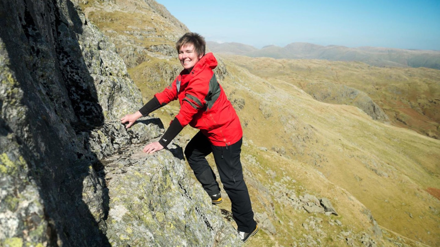
Chiz Dakin is an award-winning photographer and guidebook writer, specialising in hiking, cycling and outdoor photography. Her expert guides have been a regular fixture in the routes section of Trail magazine for many years and she's one of the most respected outdoors writers in Britain.
This route originally appeared in the May 2017 issue of Trail magazine. CLICK HERE to become a Trail magazine subscriber and get 50% off a whole year of digital OS Maps
