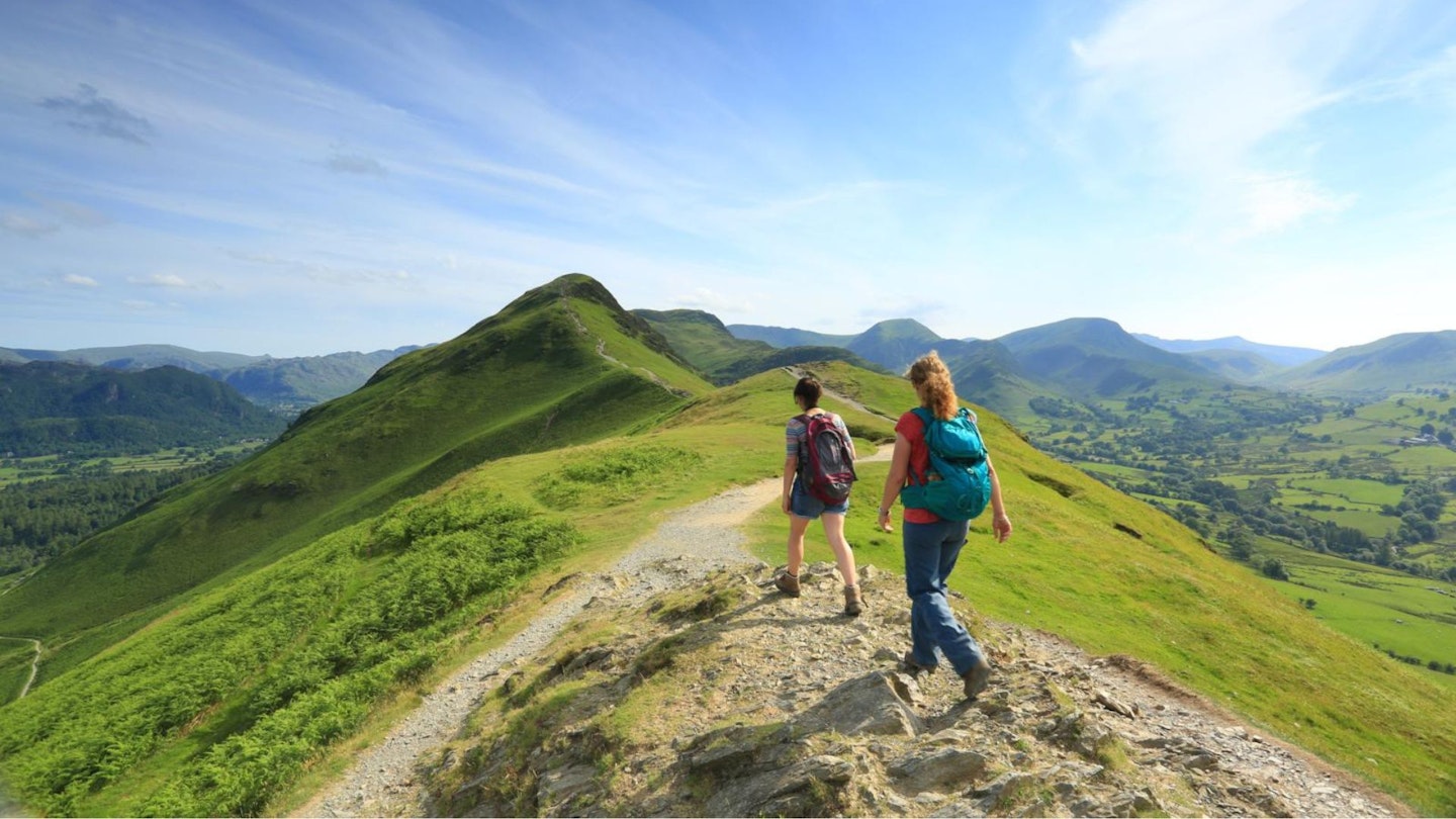
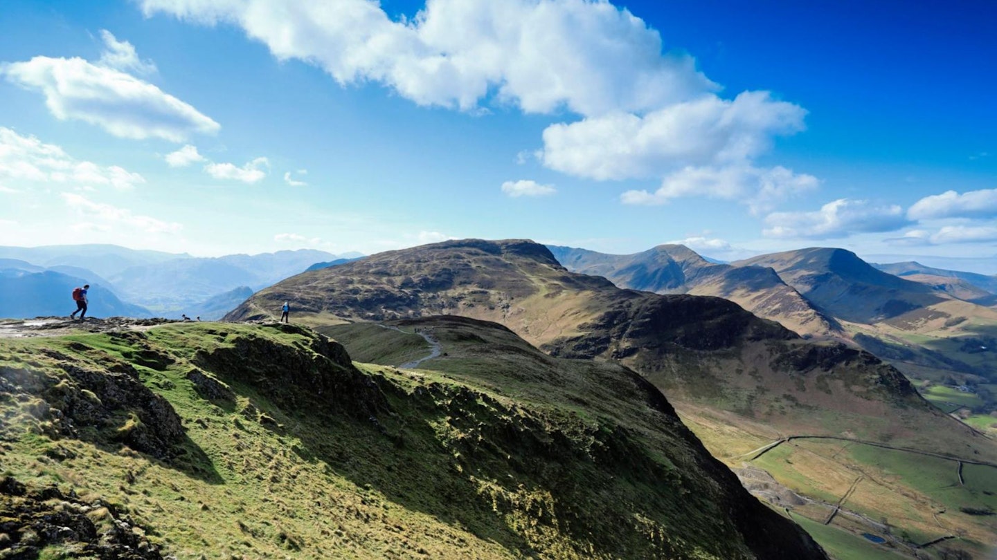
Cat Bells is one of the most famous peaks in the Lake District and a favourite hillwalk for families looking to introduce children to the mountains. It's much more than that though – this is also one of England's best walks packed with views that will live long in your memory.
Cat Bells is a hugely popular peak, offering a brief but exciting outing to the top. It's one of the busiest fells in the Lake District in spring and summer, and come winter it’s still not out of bounds to the ordinary walker. Though modest in height at 451m, Cat Bells feels like a true mountain, both when seen from afar and as you’re scrambling up and along the ridge to its exciting and rocky summit.
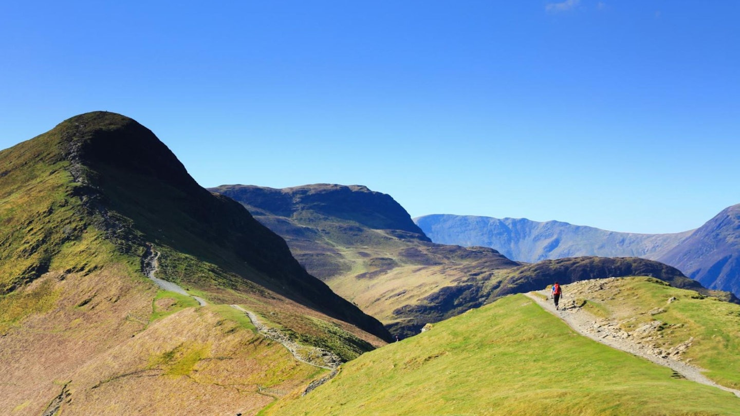
Our route starts from the base of the peak near Hawes End, first zigzagging up the hillside to Skelgill Bank before the views open up into the Newlands Valley and onwards to the distinctive summit dome of Cat Bells.
After you leave the summit with your celebratory selfies, this walk then drops down to the lake, completing a satisfying circuit through the woodland along its shore, leaving longer routes high above the Newlands Valley for another day.
CLICK HERE to download our Cat Bells digital route guide in OS Maps
How hard is climbing Cat Bells?
The simple answer is that this walk isn't very hard at all, which is why it's so popular with families and walkers of all ages and abilities. There are steep sections both going up and down, but it's a relatively short route with only just over 400 metres of ascent. If anything, it's all over too quickly.
There are some short but simple sections of scrambling on rock, which is more exciting than threatening, even for people new to hiking. The descent is quite steep, but the return leg is a gentle walk along the scenic lakeshore of Derwent Water.
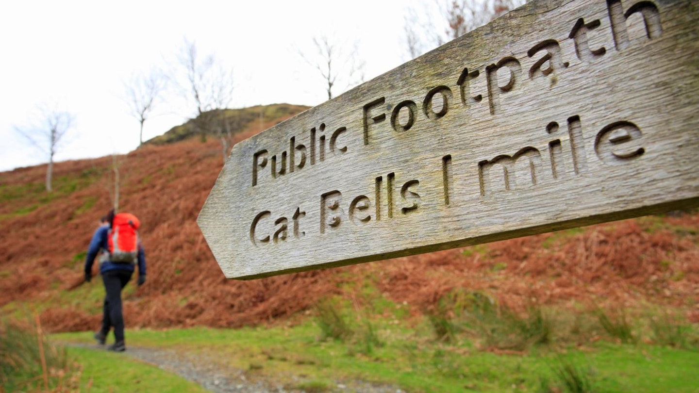
In terms of navigation, it would be hard to lose your way on Cat Bells with very clear paths all the way, but care should be taken on rocky ground in poor visibility.
How long does the walk take?
Our route covers 8km (5 miles) and around 400 metres of ascent. We estimate experienced hikers should be able to complete the route described below in around 3 hours, but that depends on weather conditions, your own fitness, and the pace you like to walk.
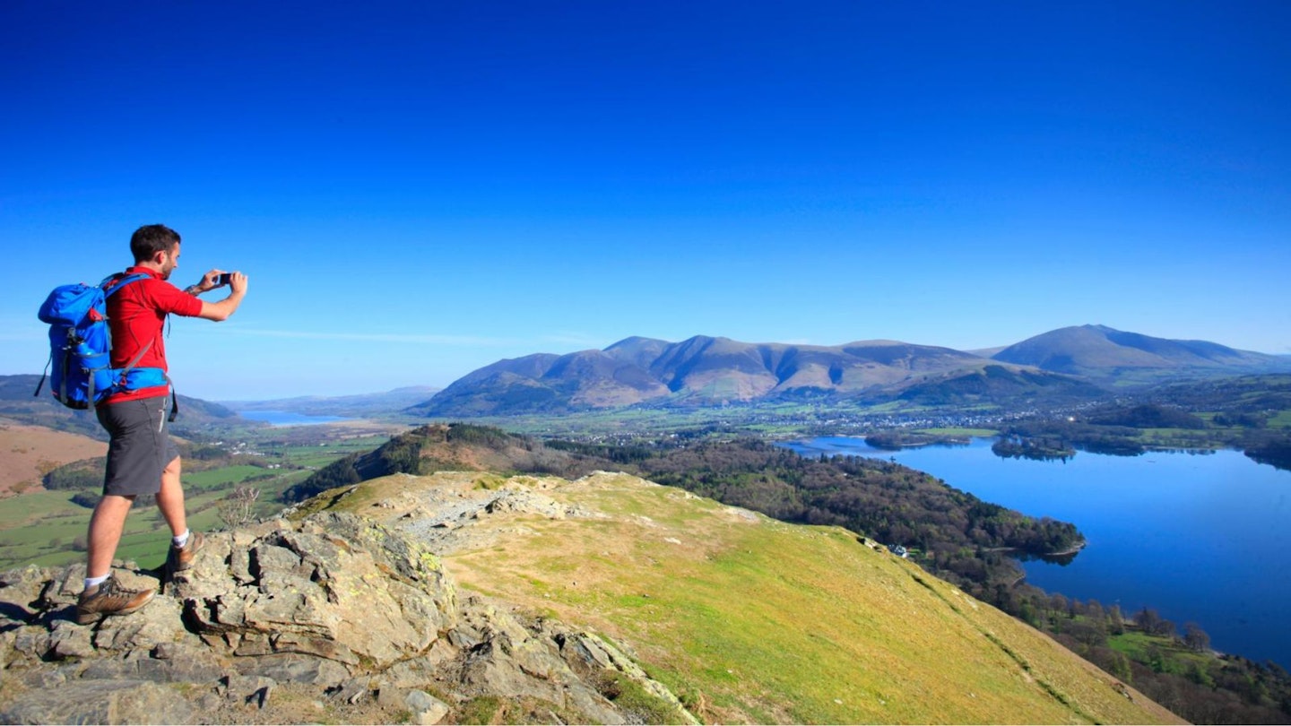
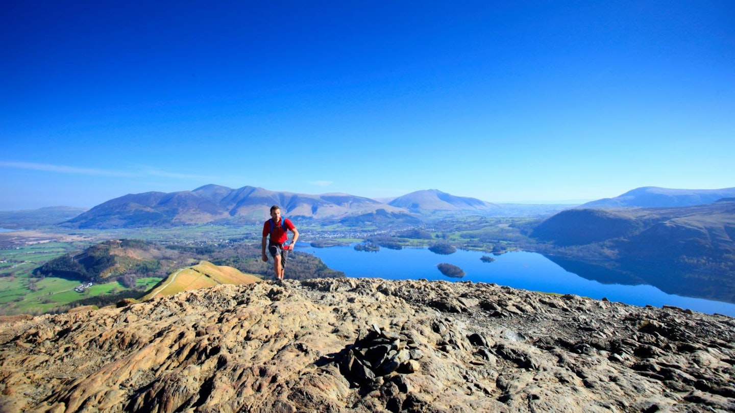
We advise taking your time to enjoy the views across Derwent Water and the surrounding mountains, because they're some of the best in the Lake District. On a clear day you'll get great views into the Newlands Valley, Borrowdale, and across to some of Lakeland's most iconic mountains including Skiddaw, Blencathra and Helvellyn.
Where does the Cat Bells walk start from?
The route starts right at the base of the peak at grid reference NY246211. There is limited parking at Gutherscale, or limited lay-by parking above Brandelhow Park. This is a very busy and popular route, so if you are traveling by car get there early and make sure you park responsibly – don't mistake the passing points on the singletrack roads for laybys!
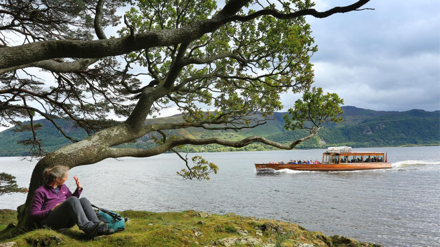
Public transport is perhaps the best way to reach Cat Bells, either on the Honister Rambler 77/77A seasonal bus service or via boat from Keswick. In our opinion, the boat ride across Derwent Water is the absolute best way to approach Cat Bells. Get more details from the Keswick Launch Co.
What's the best map for Cat Bells?
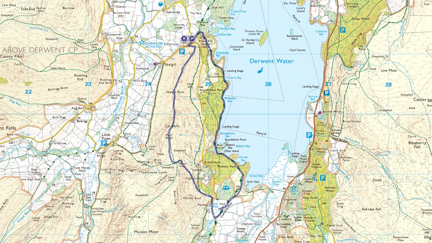
This route is covered by OS Explorer OL4 (1:25,000), plus OS Landranger 90 (1:50,000). You can order printed maps from the Ordnance Survey's map shop or download our digital route guide HERE.
Cat Bells | Step-by-step route guide
Section 1
Take the footpath from the base of Cat Bells up and around onto the northern tip of the ridge, picking up the main path south towards the summit. Take care as you negotiate a few scrambly sections, twisting over and between a few rocky outcrops.
As you emerge onto the grassy tump (and false summit) of Skelgill Bank, the ‘shapely topknot’ of Cat Bells proper rears up in front, looking for all the world like a true mountain. Yet the top is a mere half a mile further on, and a few hundred feet up. A clear path leads to a bald and stony summit, where summiteers are rewarded with a magnificent panorama.
Section 2
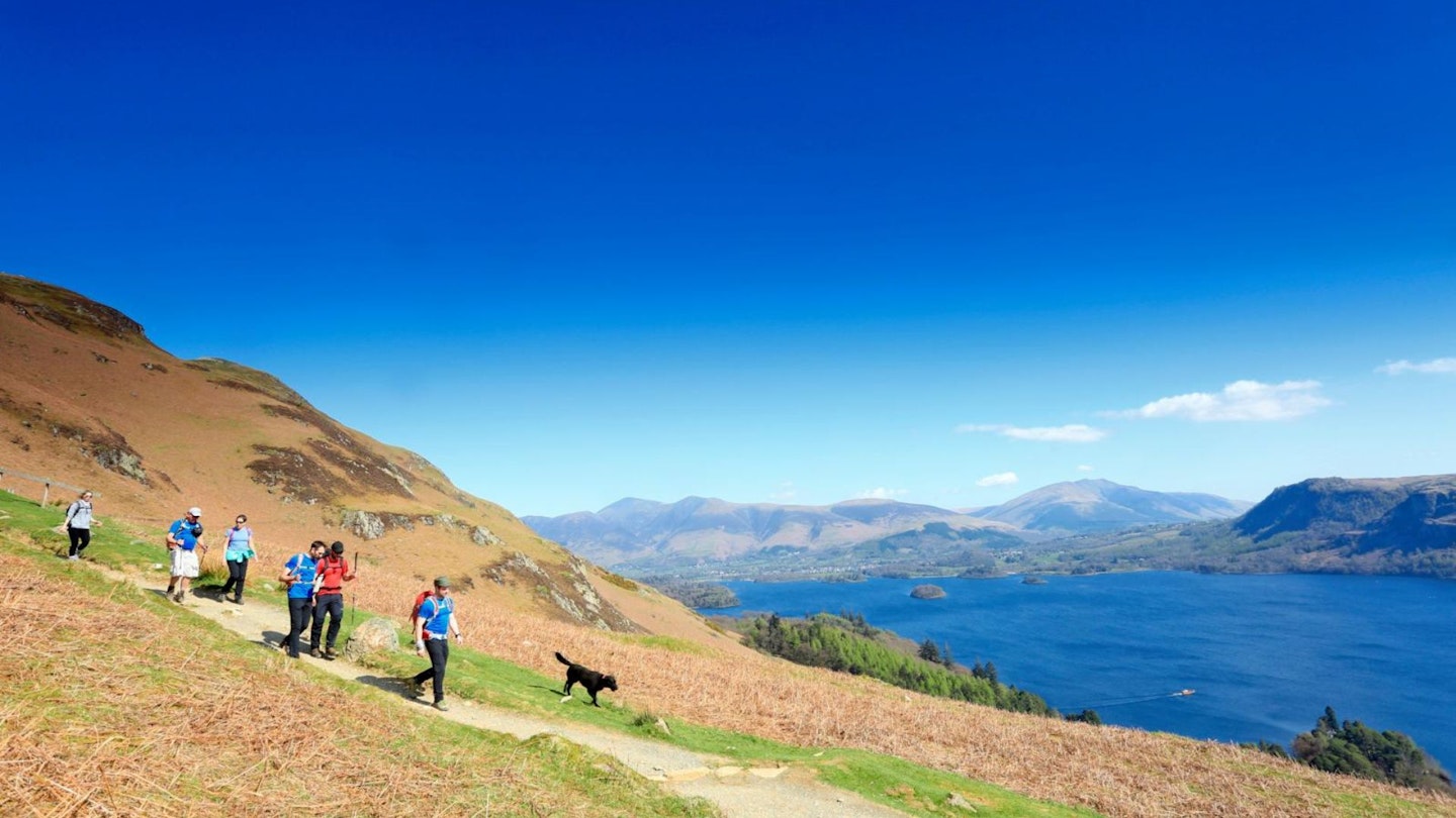
From Cat Bells summit continue south, heading down the ridge for about 700 yards until reaching a crosspath in the col of Hause Gate. Turn left onto a path that zigzags downhill off the fell towards Derwent Water.
As the gradient eases, the path eventually merges with the route of the Allerdale Ramble, before emerging onto a quiet lane. Optionally, you could turn left onto this bridleway and follow this higher path back to the start.
Section 3
Turn right and follow the lane for 300 yards past Manesty Holiday Cottages before turning left at a fingerpost through a gate towards Manesty Park and Derwent Water. Pass through a series of gates until reaching the shore and turn left into the park, following the shore path until joining a track, where there are a few cottages scattered around Brandelhow Bay.
Section 4
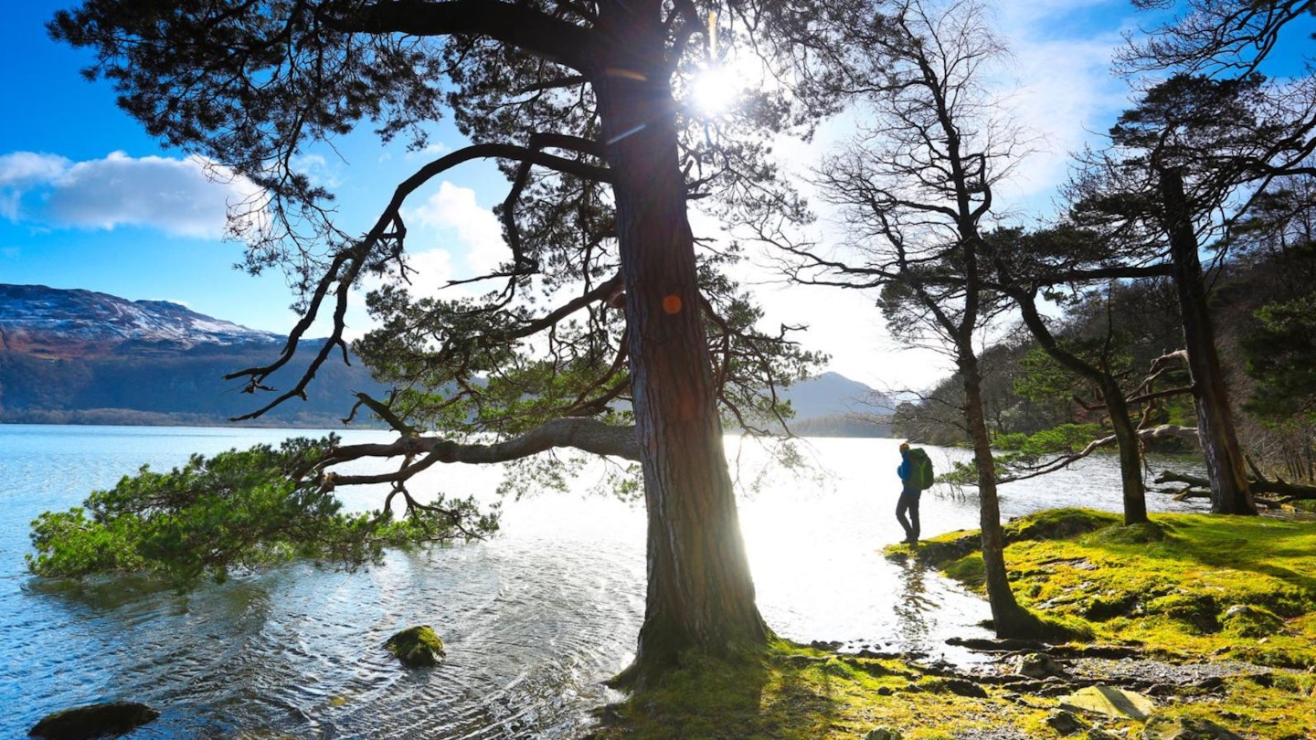
Keep to a clear path through the pleasant woodland of Brandelhow Park, following the shingly shore of Derwent Water past various bays and landing stages, and a collection of intriguing forest sculptures. When you reach a gate at the end of the path, turn right onto a lane to the Outdoor Centre.
Turn left across the centre car park and up a bank through a kissing gate onto a footpath, briefly forking right through the woods up to a road. Turn left on the road over a cattle grid and follow the road round back to Gutherscale car park.
What walking gear do I need for this route?
Here's a selection of the best walking gear selected by LFTO's testing team: Walking boots | Hiking shoes | Hiking daypack | Waterproof jacket | Walking trousers | Walking poles | Walking mid-layers | Base layers
Where's the best place to stay near Cat Bells?
If you want to base yourself near the start of the walk then Keswick YHA is a good option for good and affordable accommodation right in the heart of one of the Lake District's busiest and most vibrant towns. Expedia and Booking.com are good places to look for good accommodation deals around Keswick.
About the author
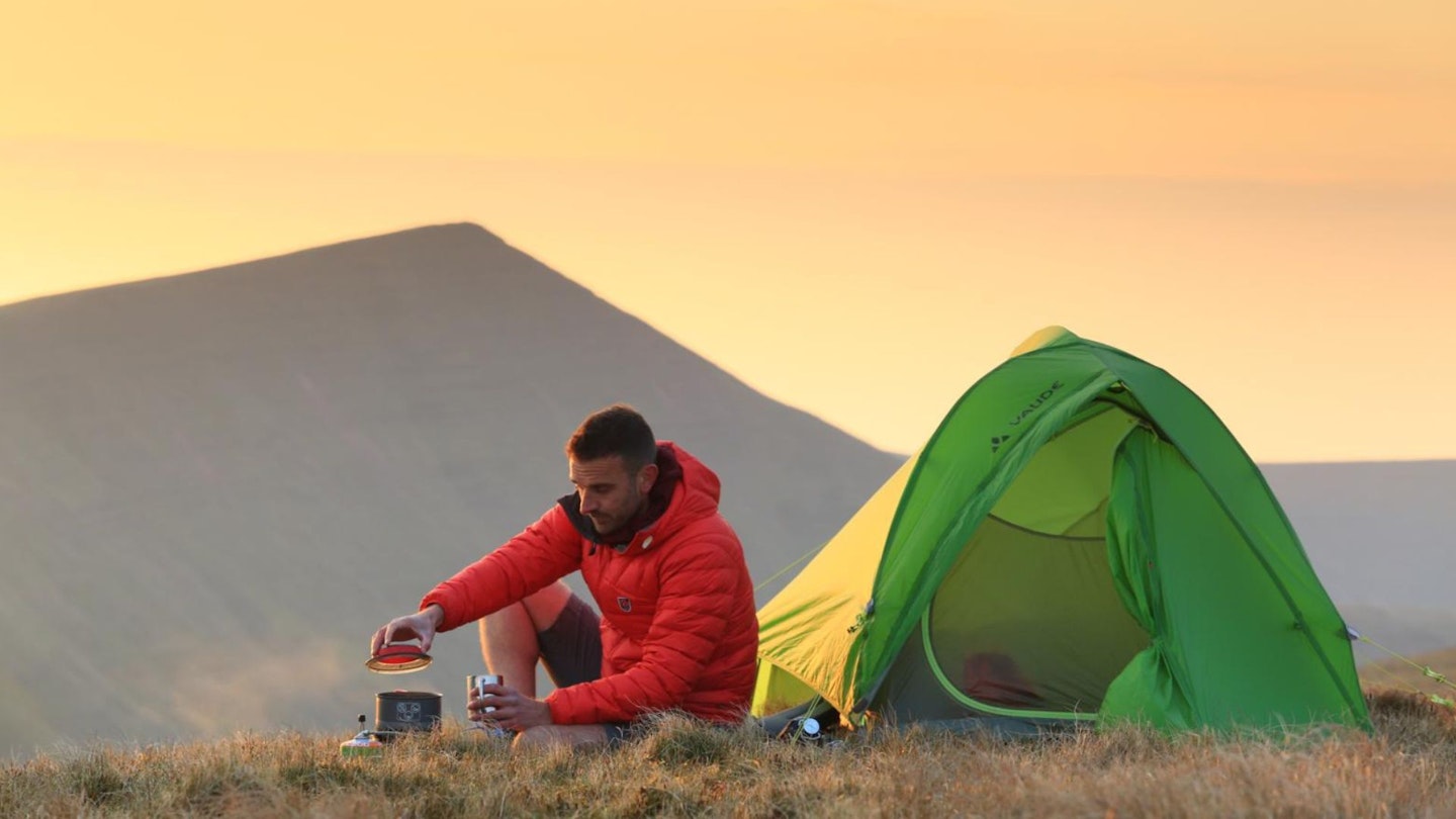
Oli Reed is the editor of Trail magazine and Live for the Outdoors. The first time Oli climbed Cat Bells was on a school trip way back in the glorious past of the 1990s, and the most recent time was with his 5-year-old son a couple of summers ago. Oli's Cat Bells claim to fame is doing a solo bivvy on the summit, where he was woken the following morning by a dog sniffing about in his sleeping bag at 5am (and it wasn't even his dog).
This route originally appeared in the March 2023 issue of Trail magazine. CLICK HERE to become a Trail magazine subscriber and get 50% off a whole year of digital OS Maps
