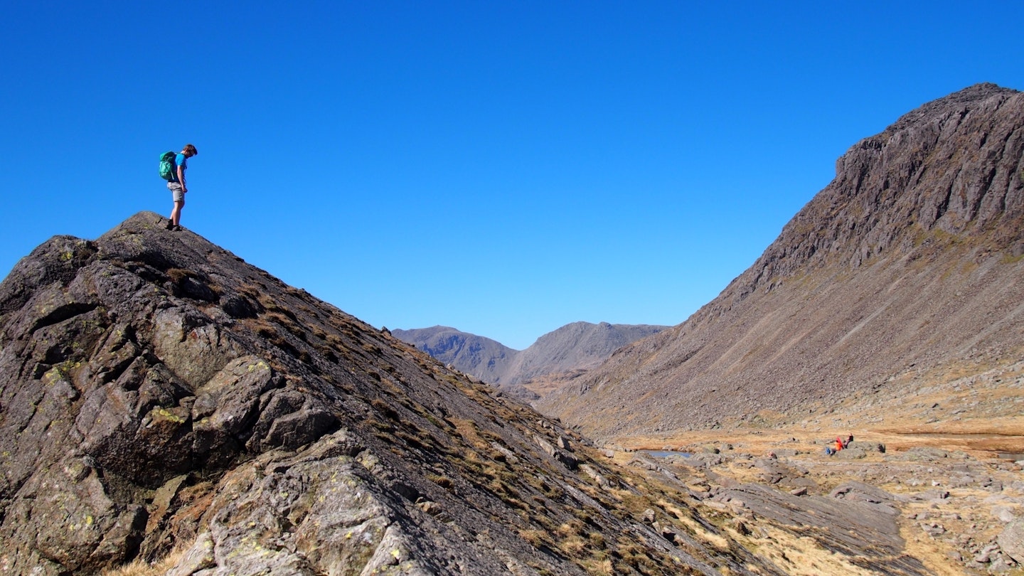
Being a sucker for Snowdonia, it took a long time, and many trips, for me to be convinced by the Lake District. Crinkle Crags was the walk that swayed me, so I’m bringing you along to show you what an exciting pocket of action it is.
Crinkle Crags sits above Oxendale with the Langdale Pikes, Bow Fell and the Pike of Blisco as near neighbours. Starting at Old Dungeon Ghyll, with National Trust parking at the very end of the road, you’ll climb up the Band to Three Tarns and be treated to an awe-inspiring view of the Scafells.
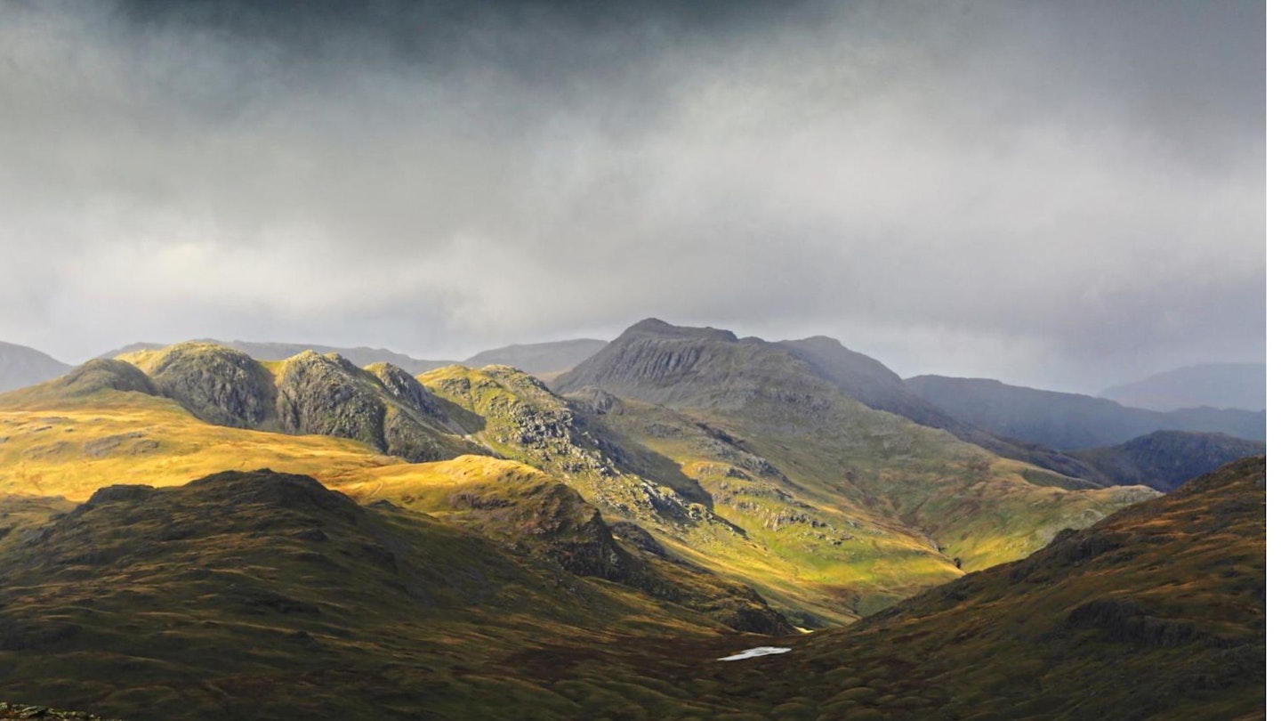
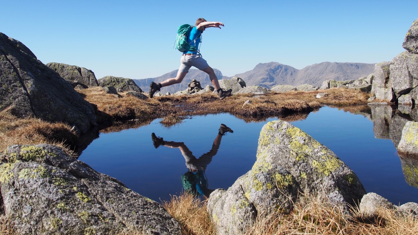
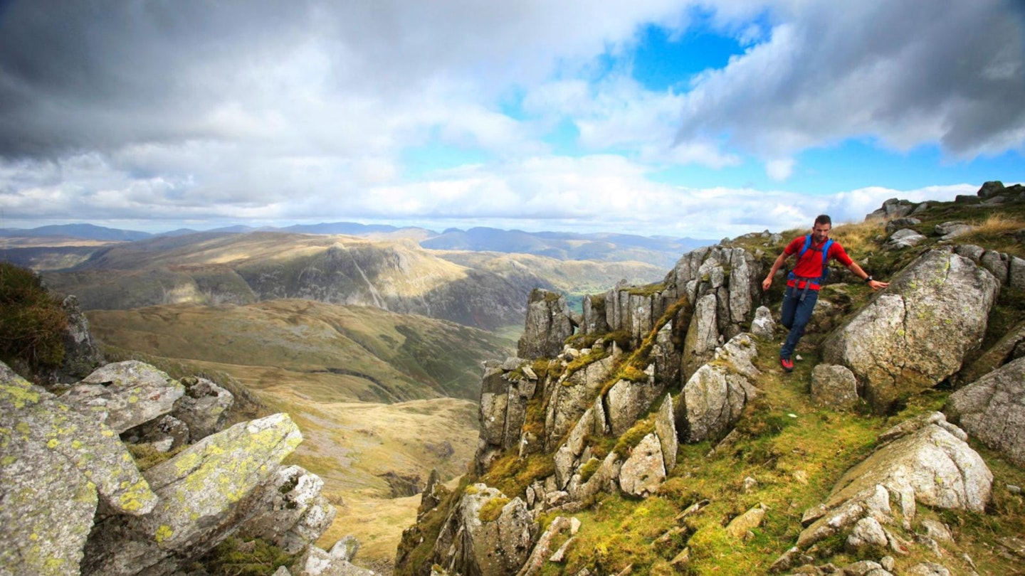
With Bow Fell to your right, you’ll turn left and start your climb towards Crinkle Crags; it’s a beautiful and very fun walk covering boulder-strewn terrain.
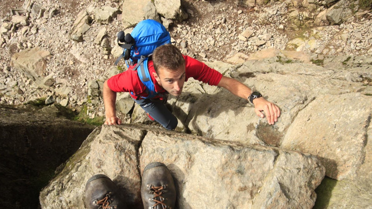
With few well-defined paths, you’re able to pick your way over the Crags without fearing you’re wandering too far off course. Beware the 'Bad Step' (below) just after the summit unless you’re a confident scrambler – there’s a nice steady path to get around it, meaning this walk is open to everybody.
The walk down is nice and gentle, passing Red Tarn and descending into a beautiful Oxendale, from where you started. To round the day off properly, the Old Dungeon Ghyll Hotel has lovely local ale in their Hiker's Bar.
Is Crinkle Crags a hard walk?
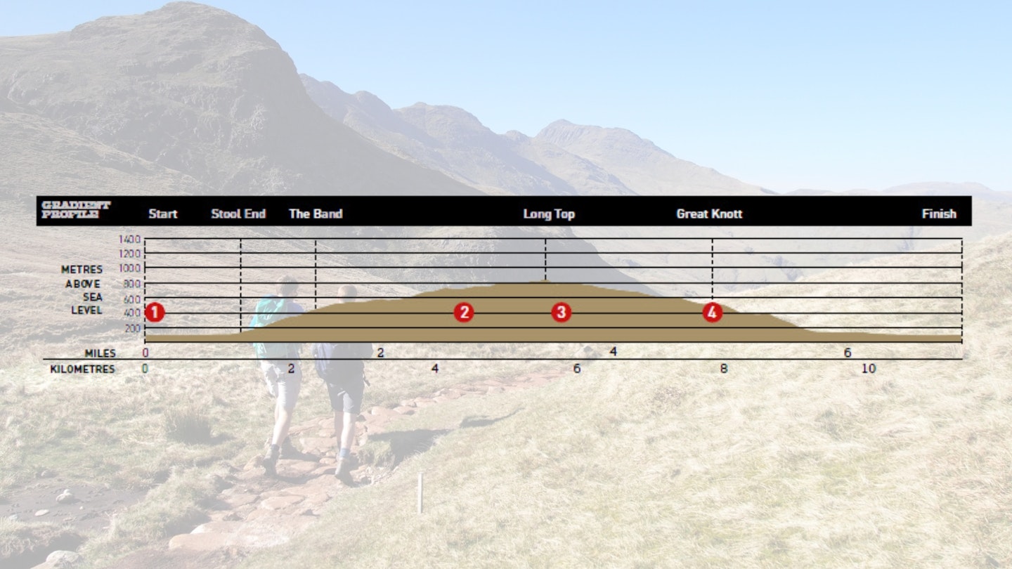
DIFFICULTY: Medium | DISTANCE: 11.2km (7 miles) | TIME: 4 hours | TOTAL ASCENT: 807m
FITNESS: The climb will take you up into the Lake District's high fells, so will test your legs and fitness. But this route should be within the capabilities of regular hillwalkers.
TERRAIN: Mostly good paths but unclear and rocky over the Crags, where hands may be needed.
NAVIGATION: As with any mountain walk, you'll need map and compass skills in poor visibility. There are some big drops from Crinkle Crags and the path can be unclear on the rocky tops, so care needs to be taken when navigating.
Where is the start of the walk?
At the Old Dungeon Ghyll Hotel in Great Langdale. The nearest town is Ambleside.
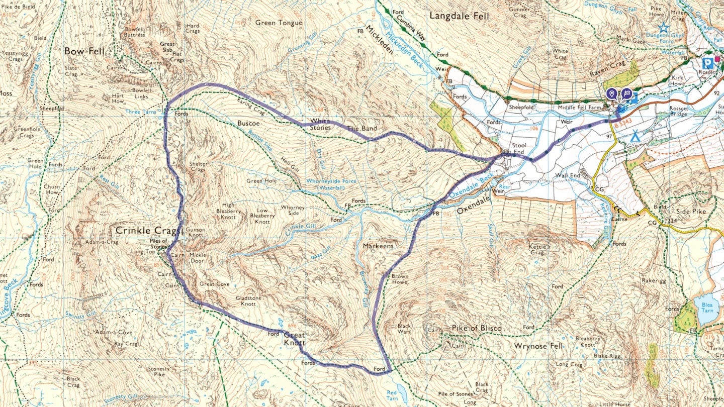
What's the best map for Crinkle Crags?
-
CLICK HERE to view and download our digital route guide in OS Maps
Crinkle Crags walk | Step-by-step route guide
-
Starting at the hotel, walk left out of the National Trust car park over the bridge and turn right. Follow the road along until you come to a T-junction. Continue straight ahead through the kissing-gate and follow road towards Stool Farm. Keep following the road, over the cattle grid, to the farm.
-
Walk through the farm itself, adhering to the footpath signs, you’ll turn left and through the gate onto a gravel track. After roughly 50m turn right and follow the clear path up onto the ridge known as The Band. The path is clear the whole way up so keep following until you reach Three Tarns. Do be careful not to take the smaller path to Bow Fell near Earing Crag.
-
After you’ve enjoyed the views, you’ll want to put Bow Fell at your back and start to make your way over the Crags. There’s no clear path, it comes and goes and as many people have passed over different sections, so wind your way up and over, keeping the cliffs to your left-hand side. Before the summit, you’ll reach a distinctive col. Cross this and climb up to the summit. It’s likely some hands will be needed but there is no exposure.
-
To get down, unless you fancy descending the Bad Step, put the cliffs at your back and walk back towards Long Top (Bow Fell will be on your right and the Scafells straight ahead). You will pick up a clear path descending from the summit. Follow this, and you’ll wind your way around and below the crag. You’ll see sheets of slab rock on your left, just before you see what you’ve missed with the Bad Step. With the cliffs now back on your left, continue on the path over the next, and last, crag.
-
Keep following the clear path over the crag and start the descent to Great Knott. If you want to take in Great Knott, now is the time to veer off path, keeping the cliffs to your left. The main path this route takes is very clear and is easy to divert back to, as it passes just below the summit. Once back on the path, continue following the well-maintained path down to Red Tarn.
-
Cross over the stream and take the left-hand path where the two paths cross. You’ll now be descending in earnest. Keep following the stone-laid path down to Brown Howe and on down to the bridge at the bottom of the Oxendale valley. Once over the bridge, turn right and follow the obvious path. When you come to the sheep enclosure be sure to follow signs for the footpath, and don’t go through the paddock.
-
You’ll arrive back at the farm, passing the path you took up The Band. Go through the gate, through the farm, and follow the road out. Once you get to the gates at the end of the road, go through, over the road, then take the first left back to the hotel and car park.
-
Then make sure to enjoy a pint of local ale in the Old Dungeon Ghyll Hotel!
What walking gear do I need for this route?
Here's a selection of the best walking gear selected by LFTO's testing team: Walking boots | Hiking daypack | Waterproof jacket | Walking trousers | Walking poles | Walking mid-layers | Base layers
Where can I eat and drink?
Old Dungeon Ghyll Hotel, Great Langdale.
Where's the best place to stay?
Ambleside YHA and the Old Dungeon Ghyll Hotel (above). Look for good accommodation deals in Ambleside on Booking.com
About the author
Hannah is an experienced outdoor writer who grew up in the Brecon Beacons and is now based on the edge of the Yorkshire Dales National Park. She's a former member of the Trail magazine editorial team and is now a widely respected freelance author, gear tester and route guide writer.
This route originally appeared in the July 2017 issue of Trail magazine. CLICK HERE to become a Trail magazine subscriber and get 50% off a whole year of digital OS Maps
