A brand Lake District new fell that nobody knows about and that never got named! Okay, you're not going to say that about Lakeland today. But when they did last say it, back in 1876, that undiscovered peak was Esk Pike.
To find Esk Pike as if for the first time, take it by the untrodden east flank above Angle Tarn. It's one of those Lake District ascents of bare rock and little grassy terraces all over. The rocks are clean, grippy, and gently angled.
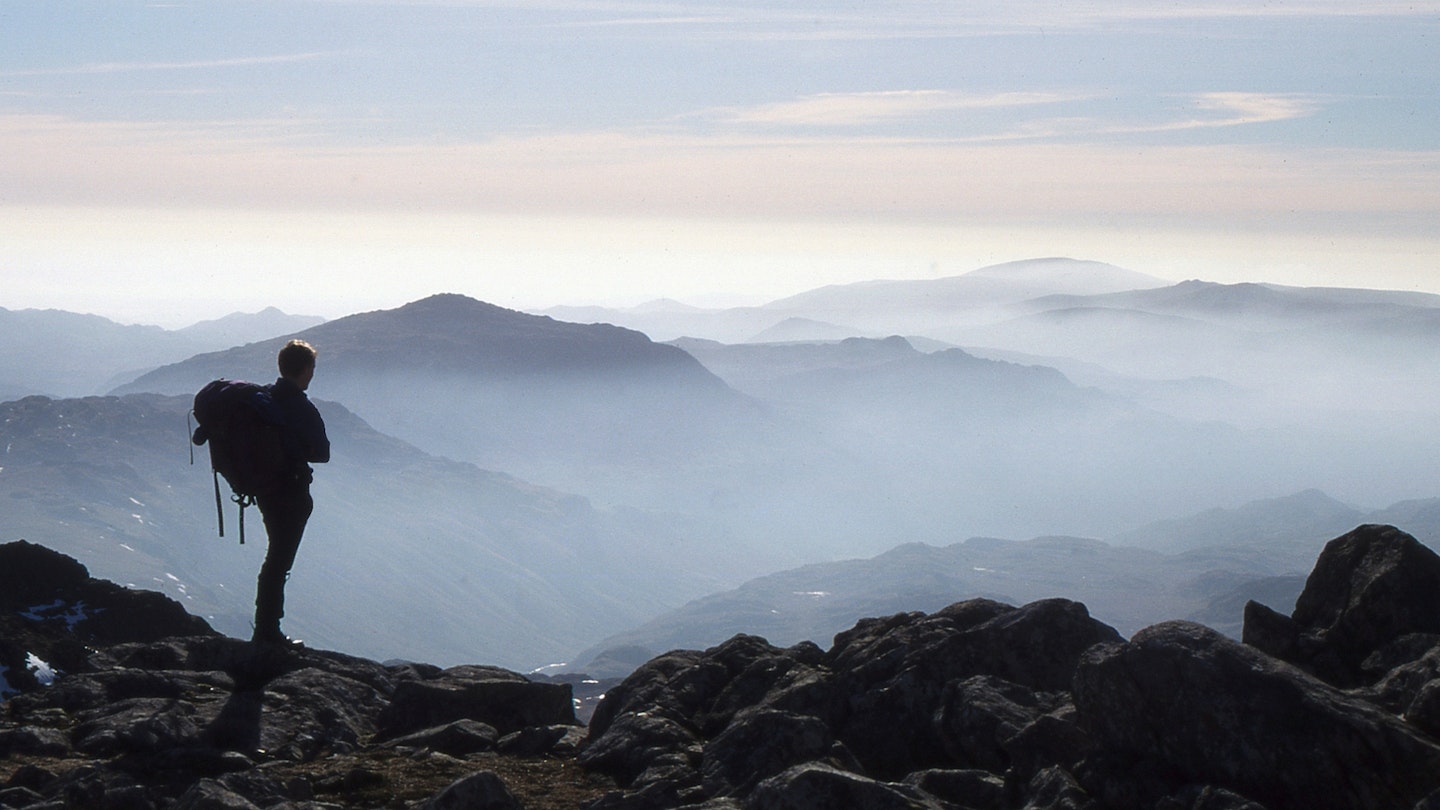
Whatever route you choose, chances are your line has never been used before, unless your first ascent already got snatched by a sheep. Esk Pike leads naturally to Bow Fell. And to add some adventure to the afternoon, descend alongside the Great Slab to the great hollow below Bow Fell Buttress.
You won't see many other people in this stony scoop – but you will see an awful lot of Great Langdale, stretched directly below your feet.
A narrow, exciting path, the Climbers' Traverse, leads across the high slope above Mickleden. And down The Band's well-pathed ridgeline, you can look along Langdale in a more relaxed frame of mind, and try and decide between the three inviting inns down there.
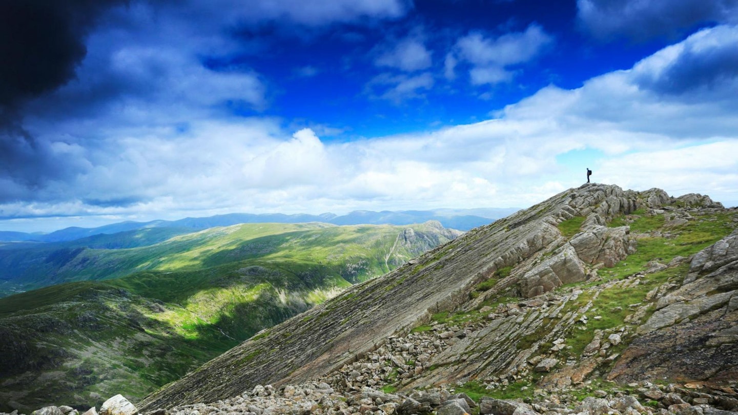
How hard is this walk?
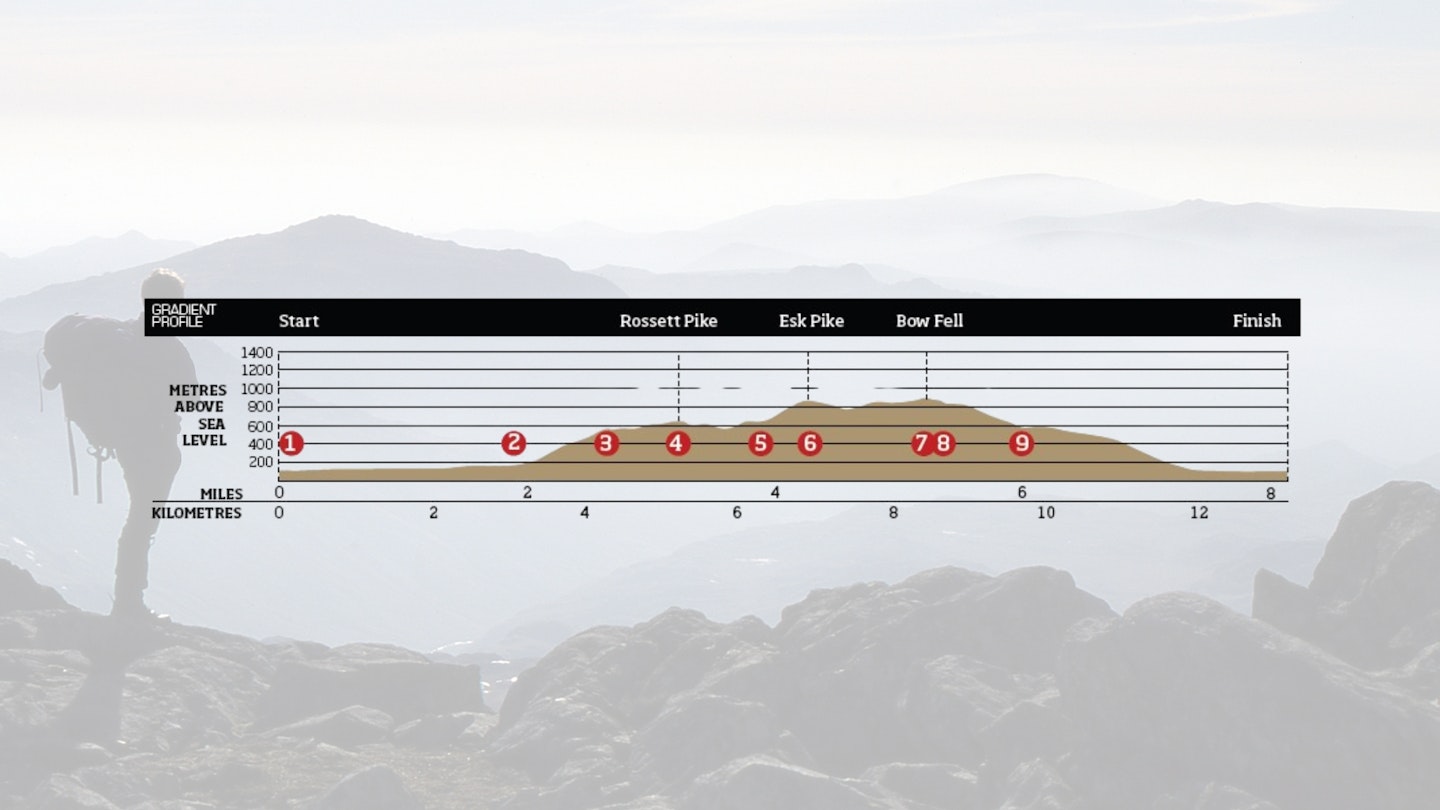
DIFFICULTY: Hard | DISTANCE: 13km (8 miles) | TIME: 6.5 hours | TOTAL ASCENT: 1000m
FITNESS: As with most Lake District mountain routes, you need to a decent level of fitness with plenty of ascent over rough terrain. No problem for experienced hillwalkers though.
TERRAIN: Hill paths, steep and rough onto Rossett Pike and off Bow Fell; go-anywhere scramble (Grade 1) onto Esk Pike.
NAVIGATION: Route-finding isn't totally straightforward, especially on the rocky scramble up to Esk Pike and locating the start of the descenton the Climbers' Traverse. Carry a map and compass, and know how to use both.
Where is the start of the walk?
The nearest town is Ambleside. Start and finish the walk at the Old Dungeon Ghyll Hotel, Great Langdale.
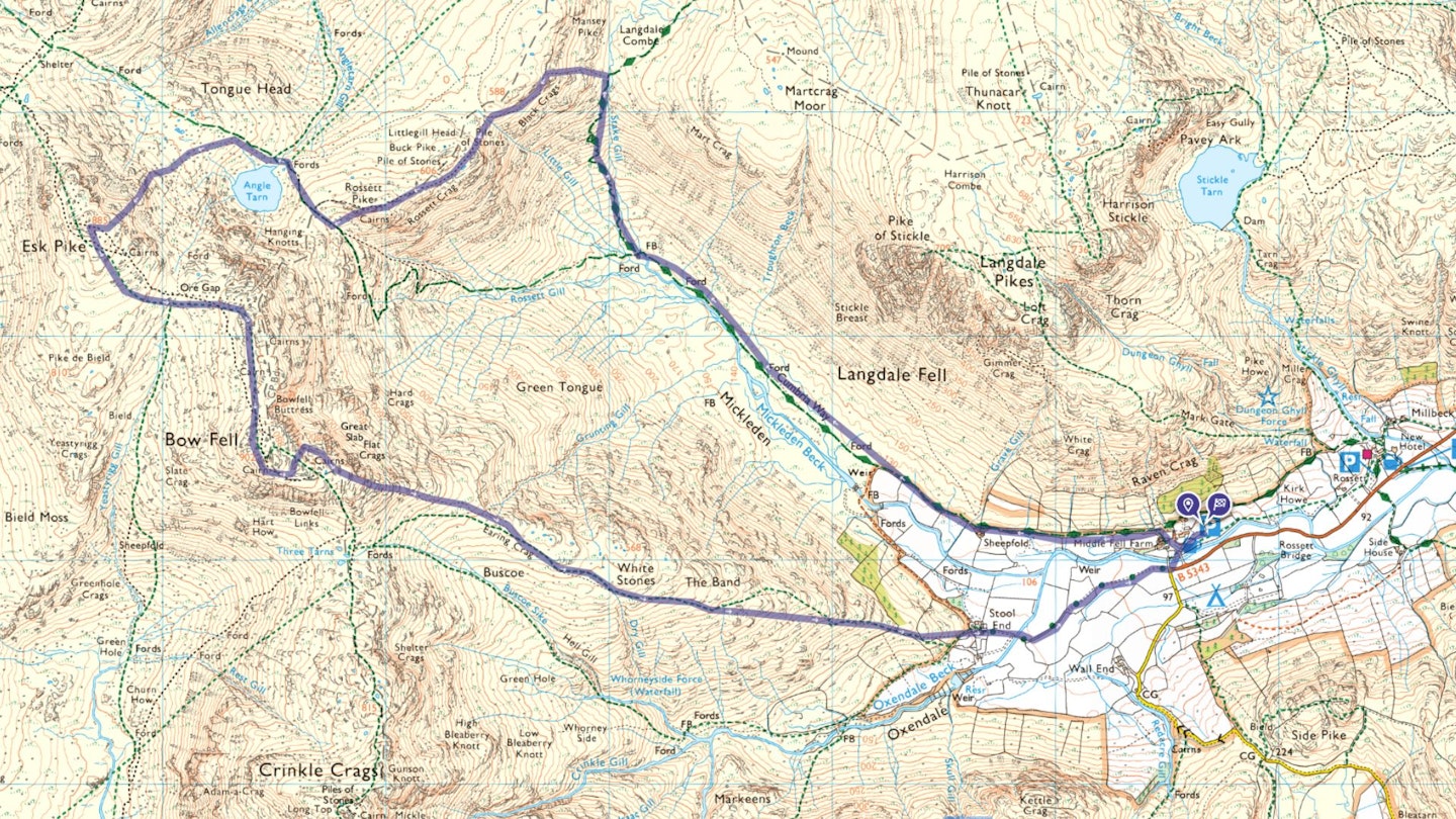
What's the best map for Esk Pike & Bow Fell?
-
CLICK HERE to view and download our digital route guide in OS Maps
Esk Pike & Bow Fell | Step-by-step route guide
-
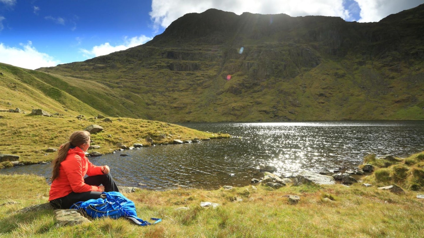
Head up and walk past the Old Dungeon Ghyll Hotel to the wide Cumbria Way path just above it. Follow the path left into the great hollow of Mickleden. After 3km the path crosses the wide outflow fan of Stake Gill, with a footbridge over the stream.
-
Turn right, up to the left of the stream, on a clear path. It zigzags up the steep slope, with rebuilt sections. After a stiff climb, the slope eases into the hidden, knolly valley of Langdale Comb.
-
From the point right at the beginning of the comb, where the Cumbria Way path crosses Stake Gill, a small path slants up leftwards, west. It keeps below the craggy ground as it goes around, to arrive in the slight saddle 800m north-east of Rossett Pike. Turn left, remaining on the right (west) flank to avoid boulder fields. Then join the wide, vague ridgeline up south-west to the summit of Rossett Pike.
-
Descend ahead, west, to the pass just below. Turn right on the well-built, pitched path down to Angle Tarn's outflow. Cross, onto the pitched path up ahead. Before the top of the first rise, turn left, on a path slanting around the slope above the tarn – it's heading towards Ore Gap.
-
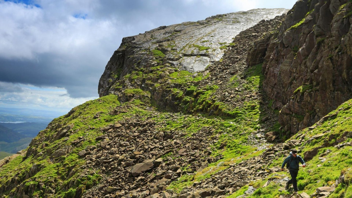
Up on your right, scrambly outcrops form the ill-defined wide spur on Esk Pike's north-east face. The steepest rocks are at the bottom. Leave the path as the ground steepens, and slant up and right to the base of the spur. You can start scrambling straight up, or else head up to the left along the base of the rocks to find an easier line. In which case slant back right on grass ledges and short rock steps to regain the spur's poorly defined crest. Continue straight up, to arrive just south-east of Esk Pike's summit knolls.
-
From the top, descend a stony path south-east to the notable col of Ore Gap. A few steps to the right, the inconspicuous but cairned path slants up the flank of Bow Fell. The cairned line does not follow the path marked on Harvey and OS maps, but slants up to the saddle south of an 866m spot height (marked on Harvey maps). Then it turns south for 400m, through a second slight saddle, to the rocky summit of Bow Fell.
-
Descend east off the summit rockpile, finding a path with cairns just below. It's heading down south-east (for Three Tarns), but after a few steps, the top edge of the Great Slab is seen just down to the left. Turn down to left of the Great Slab on a small, bouldery path.
-
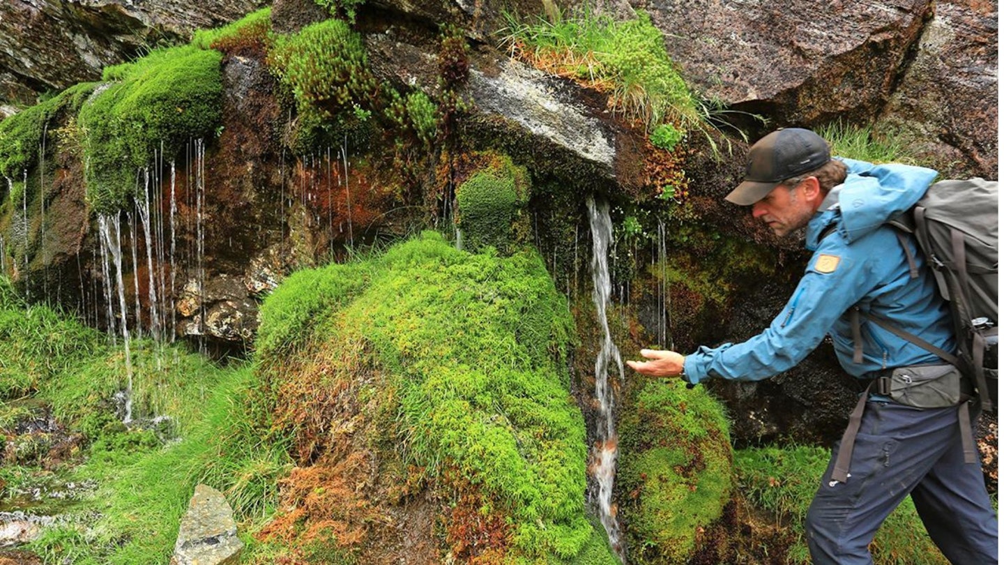
Just below the foot of the Great Slab, the rocks on your right end at a spring trickling out from the rock face. Here turn back sharp right, to find the start of the Climbers' Traverse path. It contours below the foot of the Great Slab and the rock faces further along east. The path runs above steep broken ground, to emerge on the ridgeline of The Band.
-
The path turns down the ridgeline, soon joining a much larger path arriving from up on the right (from Three Tarns). Follow the clear path down the ridge to Stool End farm. Keep ahead between the buildings onto the exit driveway. Where it meets the Langdale road, the Old Dungeon Ghyll Hotel is across an ancient bridge on the left.
What walking gear do I need for this route?
This is a typical Lake District hillwalk, so you'll need the basics of walking boots or hiking shoes, a good hiking daypack, a reliable waterproof jacket, and a pair of quick-drying walking trousers.
Depending on the season you climb Esk Pike you may need some extra essentials, so check out our hiking gear section for our latest reviews and recommendations.
Where can I eat and drink?
Old Dungeon Ghyll, New Dungeon Ghyll and Lanty Slee's are all good – go to whichever you didn't
last time!
Where's the best place to stay?
Old Dungeon Ghyll and New Dungeon Ghyll are both near the start of the route, as is the excellent National trust Great Langdale campsite. YHA Langdale is a bit of a drive down the valley but we rate it. Trip Advisor and Booking.com are good places to look for accommodation deals around Ambleside.
About the author

Ronald Turnbull is one of the most prolific and respected writers in Britain when it comes to hiking, bivvying and hillwalking – creator of a whopping 30 guidebooks and 18 unique coast-to-coast routes. He's written for a Trail magazine since its very first issue back in 1990, and his work has appeared in countless magazines and outdoor websites over the past 40 years. An absolute legend!
This route originally appeared in the June 2017 issue of Trail magazine. CLICK HERE to become a Trail subscriber and get 50% off a whole year of digital OS Maps
