Distance 7.7km | Ascent 670m | Scramble rating Grade 1 | Go there at almost any time of year (it’s not a big day) – so long as the rock is clear and dry, and there’s little to no wind.
Sharp Edge tends to come quite early in a hillwalker’s scrambling career. It’s mounted on the side of a popular mountain that’s one of the most easily accessed in Lakeland, sitting alongside the A66 road.
But Blencathra’s overall appeal is just part of the attraction of Sharp Edge. Its Grade 1 rating puts it in the territory of relatively rookie scramblers, while its airy position provides plenty of exposure and puts its challenge a level up from some of the more pedestrian Lakes routes.
And the ridge – once known as Razor’s Edge (which gives an accurate clue as to its appearance) – is just part of the journey. The onward clamber to summit Blencathra is very much part of this route’s story. Here’s how it goes…
Scrambling guide: Sharp Edge
Step 1
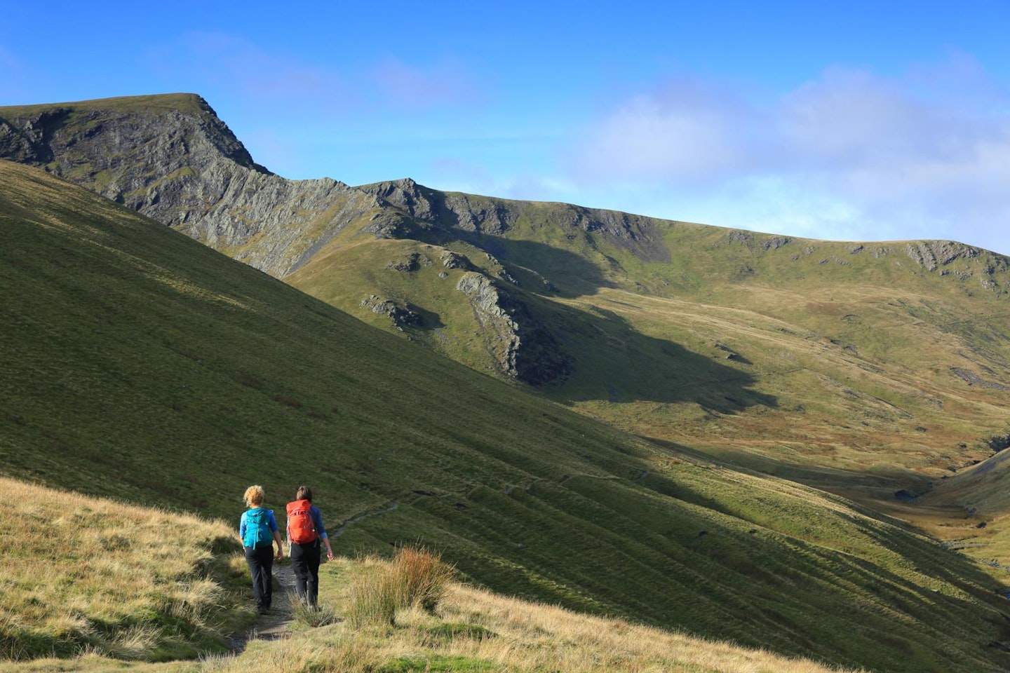
Space allowing, the best place to park is the lay-by on the A66 near Scales (NY339267). Head 100m east along the main road to leave it on a footpath that climbs Scales Fell on a traversing line, follows the River Glendermackin above its narrow valley, and eventually ascends beside Scales Beck to arrive in the glacier-carved bowl that holds Scales Tarn.
Step 2
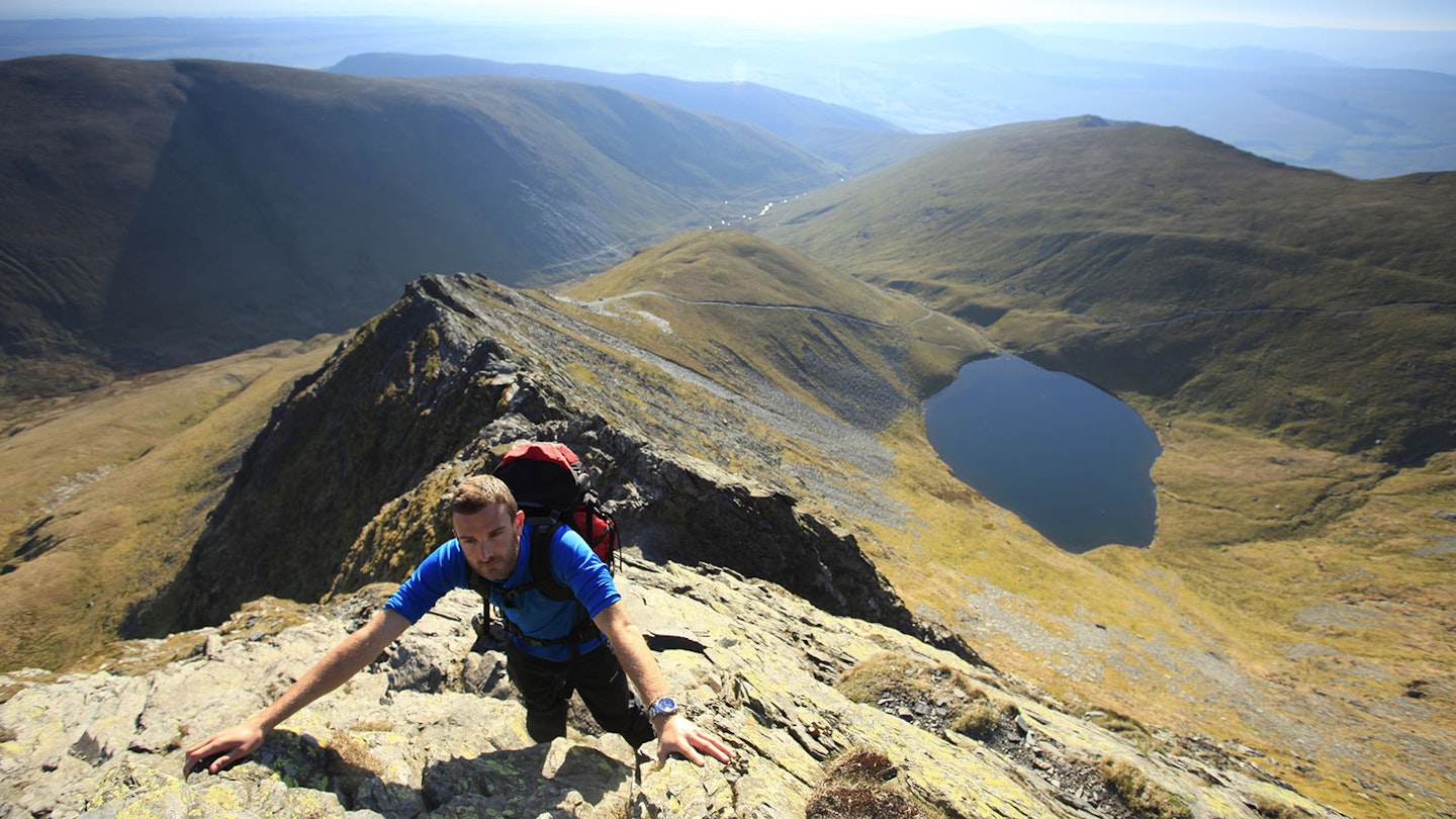
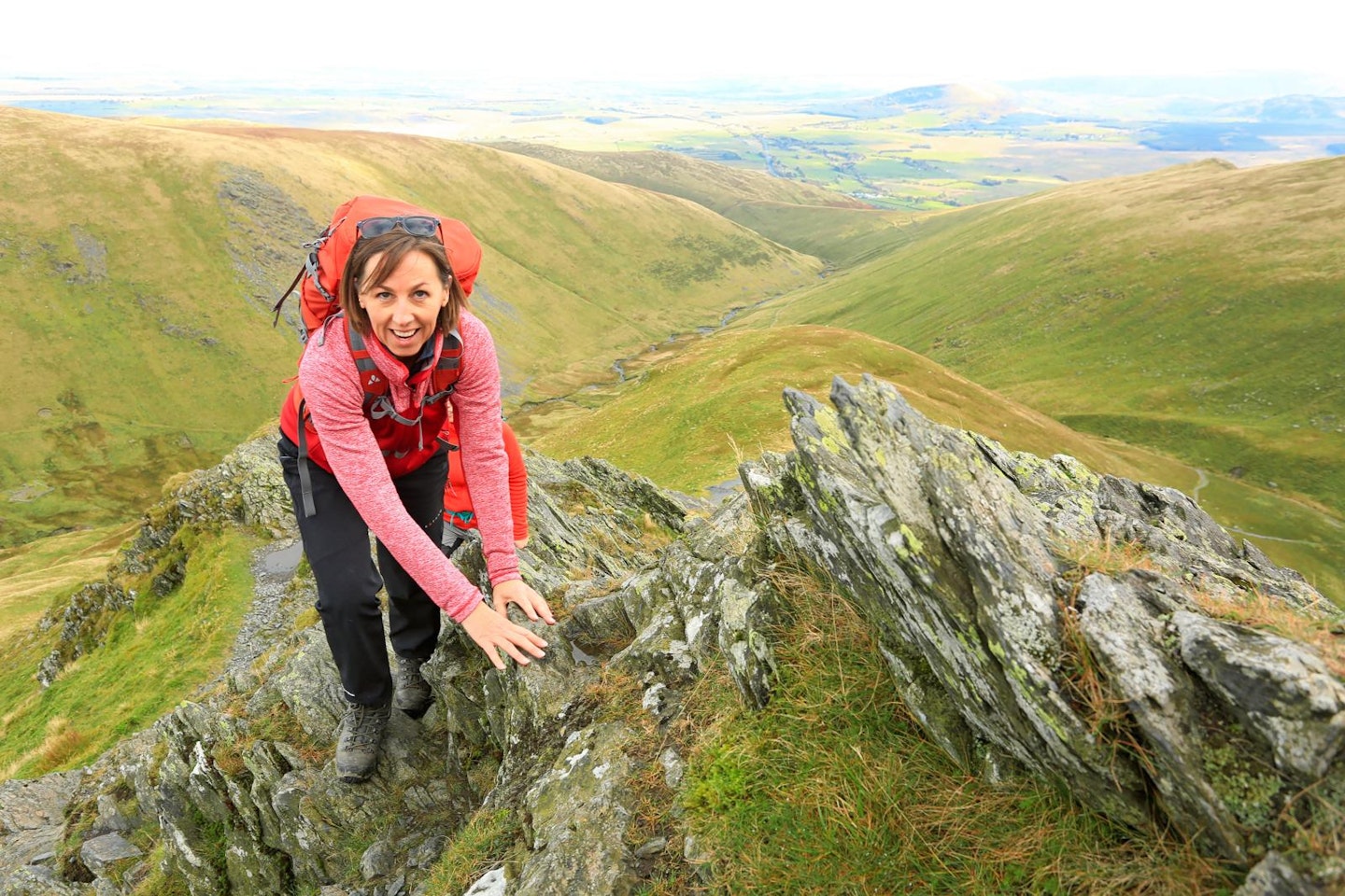
The rock fin of Sharp Edge is unmissable up to the right of the tarn. Take the zigzag path up from the water towards the end of the ridge. Where the grass spur meets the rock, leave the turf and begin the clambering. A path continues around the northern side of the ridge. Ignore this and climb directly up the spine of the arête.
Step 3
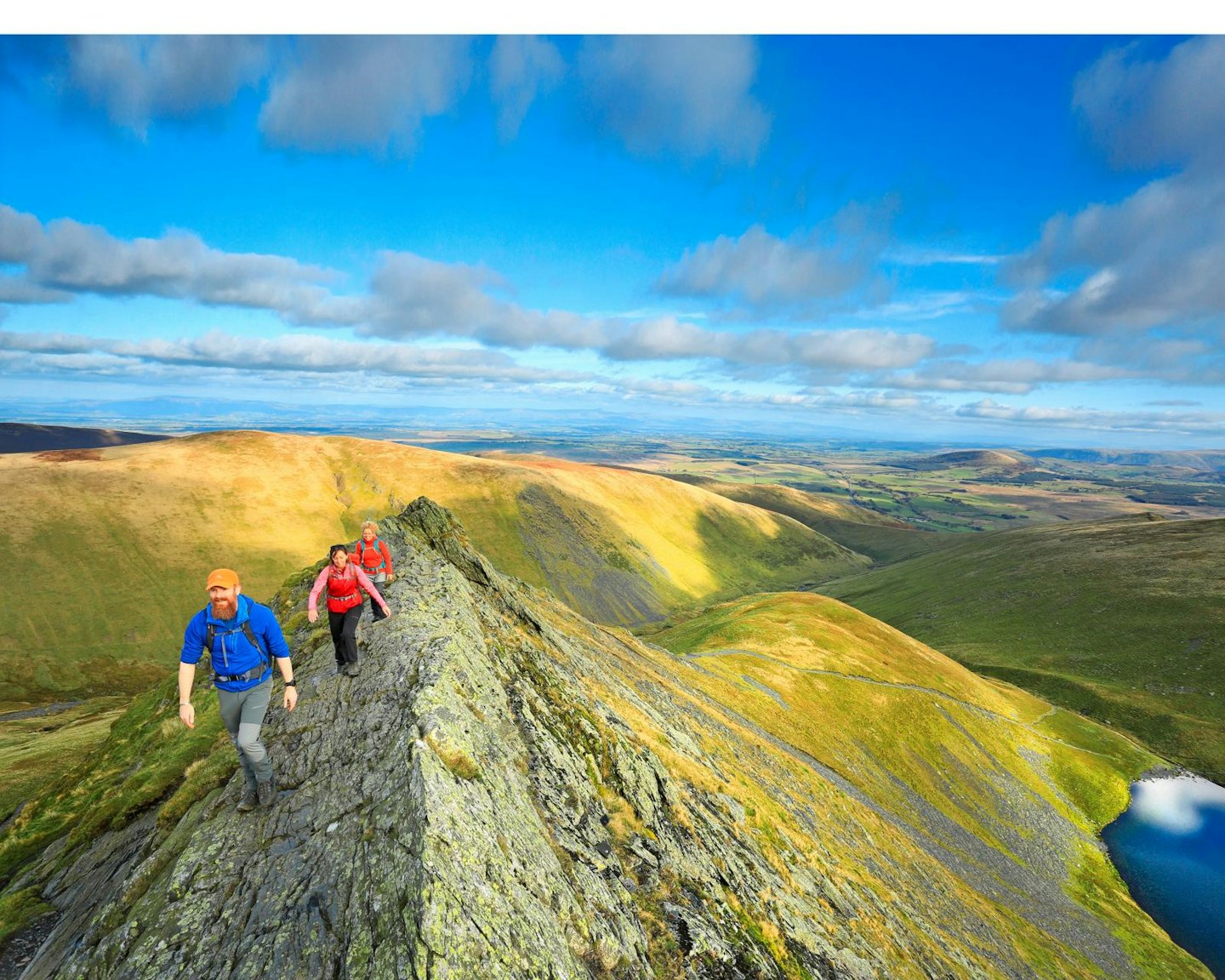
Initially the undulating ridge is wide enough to be unthreatening. But after a short distance the edges close in, the arête narrows and it starts to show its true ‘Razor’s Edge’ character. After a particularly narrow stretch, a brief up-and-down clamber brings you to a wide, flat panel of stone leading to a small but obvious rock protrusion. This is Sharp Edge’s ‘Bad Step’.
Step 4
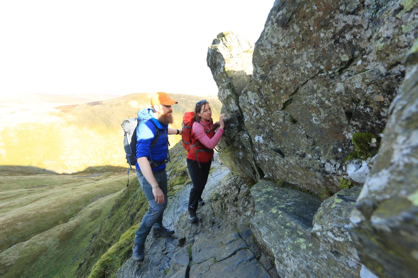
Passing to the left of the Bad Step is exposed and only for the foolhardy. Climbing directly over the top is for the brave and sure-footed. The usual route is to the right, but even here the smooth rock slopes outwards and is treacherous in the wet. The edge of the step has been rounded by numerous bum-shuffles, and below the step is the ‘Usual Gully’ – so named by Mountain Rescue due to its reputation for being the usual location of casualties who’ve slipped from the step.
Step 5
Below the step is a narrow and exposed notch in the ridge. Once safely down into this, continue out and upwards over blocky, stepped ground until reaching another broader and less threatening notch between the ridge and the main bulk of Blencathra.
Step 6
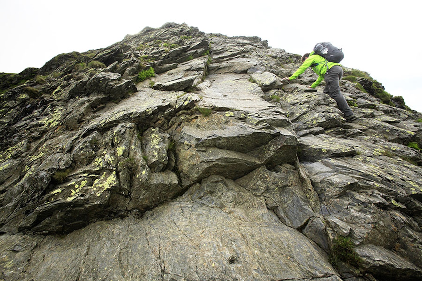
The wall in front of you is Foule Crag. There’s no single obvious route, but rather a series of cracks and ledges that, with careful selection, can be easily linked. Avoid drifting too far to the left as you climb, and soon the gradient will ease as the crag merges with the broad back of the mountain.
Step 7
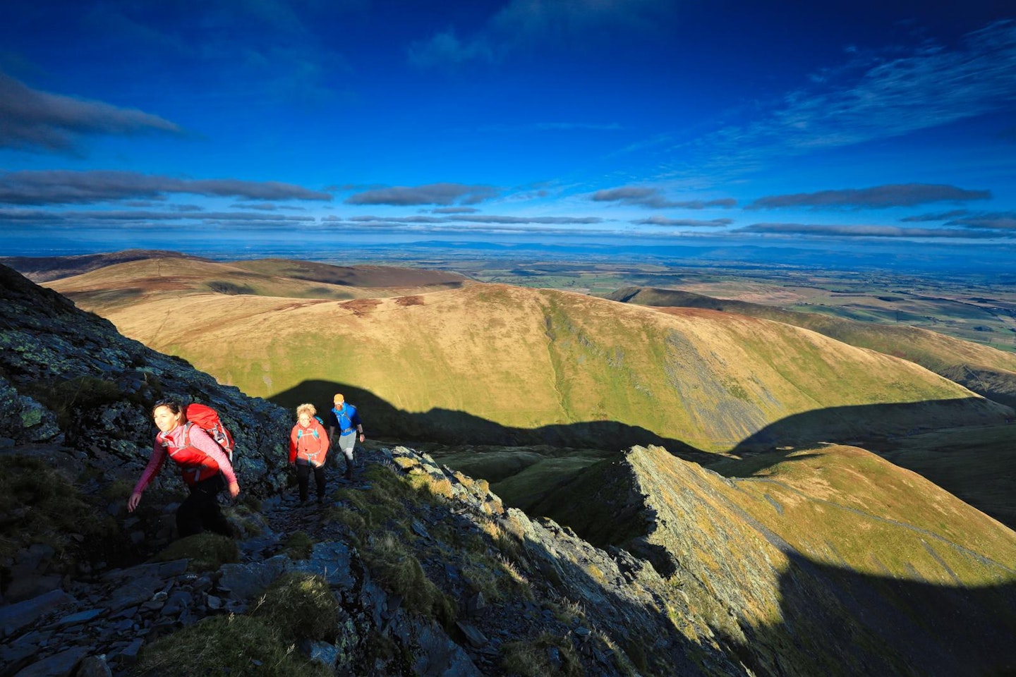
Follow a rising path south to Blencathra’s summit marker. From here the quickest and easiest way back to the car is to follow the southern edge of the summit east and take the footpath over Scales Fell, all the way back to the A66.
Follow this route with HALF-PRICE digital Ordnance Survey Maps for the whole of Great Britain by subscribing to Trail magazine.

