Distance 5km | Ascent 713m | Scramble rating Grade 2-3 | Go there when dry conditions give the rock a more reassuring level of friction.
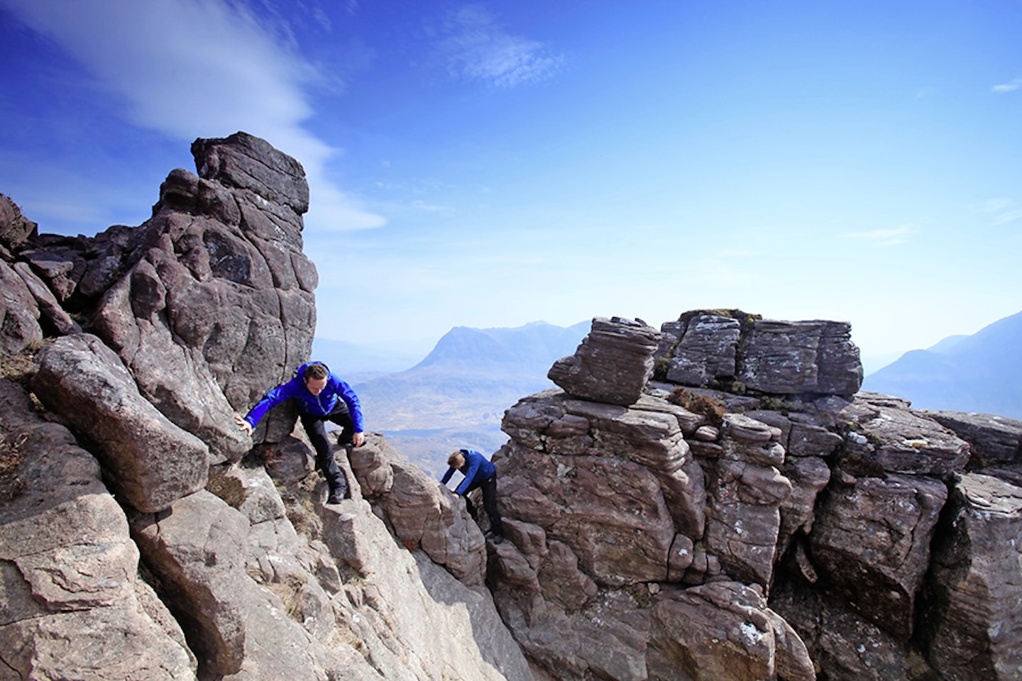
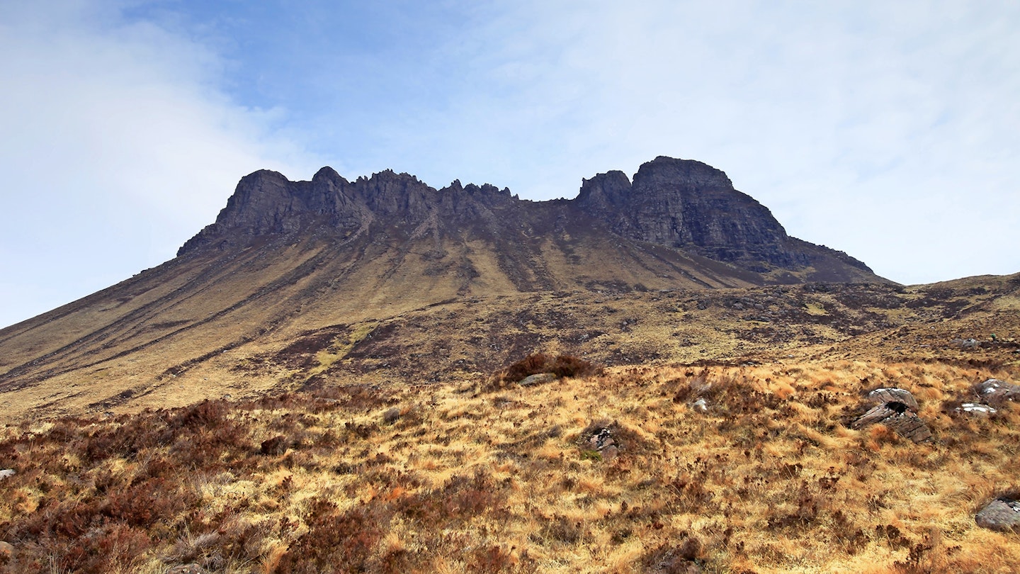
If you manage to reach the true summit of Stac Pollaidh (and there are reasons as to why you might not that we’ll come to later) you’ll have reached the far from lofty altitude of 612m above sea-level. It isn’t a big hill then, only just scraping into the official category of ‘mountain’ by some standards. But to measure Stac Pollaidh purely by its measurements is to do it a great disservice. Let’s start by looking at its summit – or rather its summits. There are two, an east and a west. The east summit is the more easily gained, whereas the west summit – Stac Pollaidh’s true summit – requires scrambling of the exposed and tricky kind that ventures into actual rock climbing. And between the two tops is an almost unbroken chain of bizarrely sculpted pinnacles, sandstone outcrops, and rocky ridgeline. It’s a scrambler’s delight, and one that caters to most abilities and constitutions. Here’s how to tackle them...
1.
From the roadside car park below the southern flank of Stac Pollaidh, follow the path around the eastern end of the mountain and continue to follow it as it traverses up the north flank towards straightforward route passes left of a steep the saddle on the summit ridge.
2.
Turn left and head towards the eastern summit. The route clambers over rocks towards an initial bump – a false summit – before a delicate descent (slabby, so take care in the wet) into a notch.


3.
Clamber out of the notch to bag the 551m summit just beyond. Retrace your steps back the way you came (taking care again on the climb into and out of the gap) to arrive back at the saddle.
4.
Continue west towards the bristle-backed ridge. You can pick your own way through the pinnacles depending on difficulty (and whether or not you have a rope), but the most straightforward route passes left of a steep wall to continue past several gullies.
5.
Take the wide scree-filled fourth gully up towards the ridge, tackling some easy scrambling terrain to reach the crest. Follow this west, bypassing any real difficulties to the right to reach a cairned top.


6.
The summit ahead is blocked by a bulbous tower above two gullies dropping to either side of the crest. This is a Grade 3 scramble, possibly even a ‘moderate’ rock climb. If you decide to tackle it (and if not, return back to the saddle the way you came) the best ascent option is a steep line to the right, remaining aware of those gullies and the consequence of a fall. The summit is not far beyond the top.
7.
Return to the tower and carefully descend via a groove to the right, shuffling on your backside where needed. Return to the saddle via your outward route and take the path dropping down the northern face in a westerly direction. Follow the muddy track around the western end of the mountain to re-join the path back to the road.

Follow this route with HALF-PRICE digital Ordnance Survey Maps for the whole of Great Britain by subscribing to Trail magazine.


