The curvaceous, sweeping line of the Moel Eilio ridge to the south-west of Llanberis in north Wales is very enticing, and its modest beauty is worth exploring.
Moel Eilio and its neighbouring peaks are very achievable when daylight hours or time are short. The ridge can be an exposed place in strong south-westerly winds, but the area offers relatively less technical ground than its higher parent ridges of Snowdon and beyond.
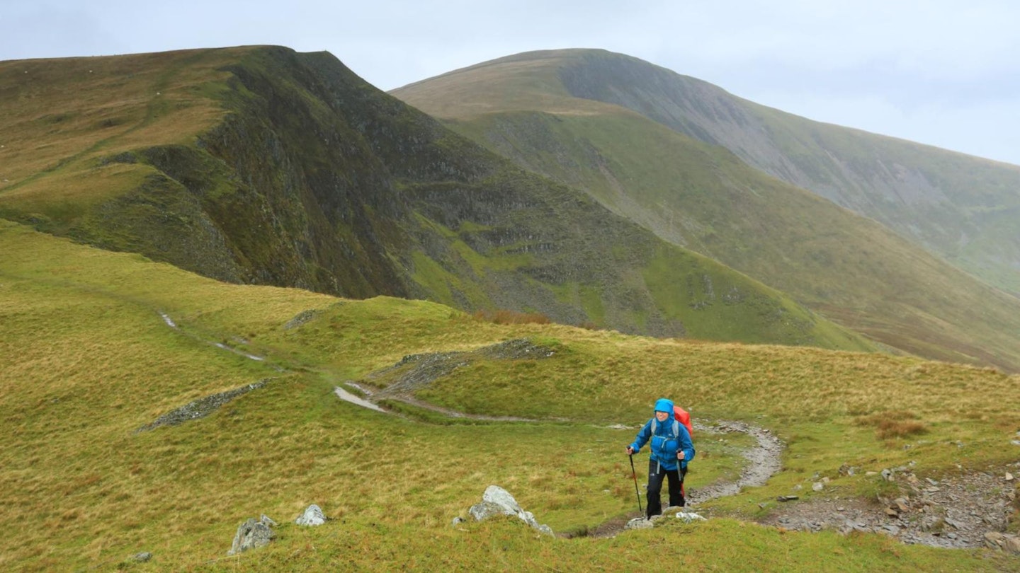
Navigation is along fairly linear lines, and there’s much revelling to be had in the surrounding views to the Moel Hebog range and the Nantlle ridge, Snowdon, the Glyderau and out to Anglesey to the north.
If you are counting Marilyns, Nuttalls and Hewitts [see www.hill-bagging.co.uk], this roller coaster of a route will bag you some more. You’ll notice the ascents and reascents surrounding the tops of these smooth hills, and the relative height differences do make you feel you’re higher than the altimeter suggests.
So, for a winter’s walk with a punch of fresh air, get out and up (and up again and again)!
How long is the walk?
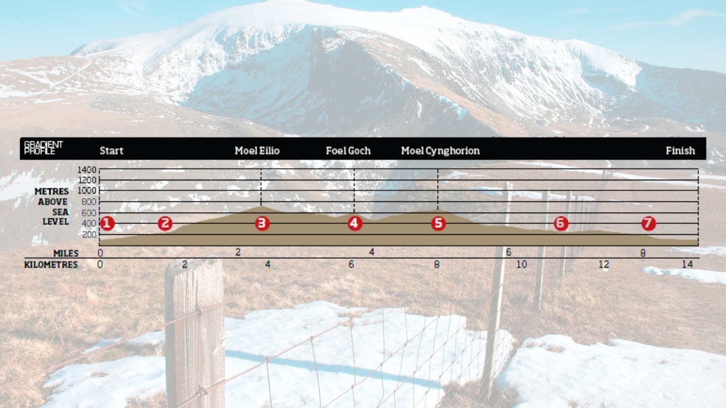
DIFFICULTY: Medium | DISTANCE: 14.2km (8¾ miles) | TIME: 5 hours | TOTAL ASCENT: 974m
FITNESS: You'll bag four summits in this cracking mountain horseshoe with a bit of ascent and descent in between each, so you'll need solid hillwalking fitness. Not one for complete beginners.
TERRAIN: Road and public footpaths initially; open, grassy hills with faint paths up high.
NAVIGATION: Mostly following and clear and defined peaks with good paths on most of the route. This is proper mountain terrain though, and North Wales weather is notoriously unpredictable, so carry a map and compass with the skills to use them.
Where is the start of the walk?
Llanberis High Street. There are plenty of car parking options in the village, but it can fill up quickly because Llanberis is the main launchpad for most people to climb Snowdon.
What's the best map for Moel Eilio and Foel Goch?
-
CLICK HERE to view and download our digital route guide in OS Maps
Moel Eilio and Foel Goch | Step-by-step route guide
-
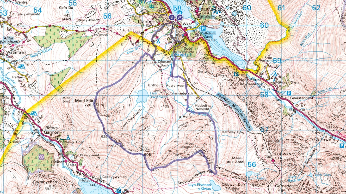
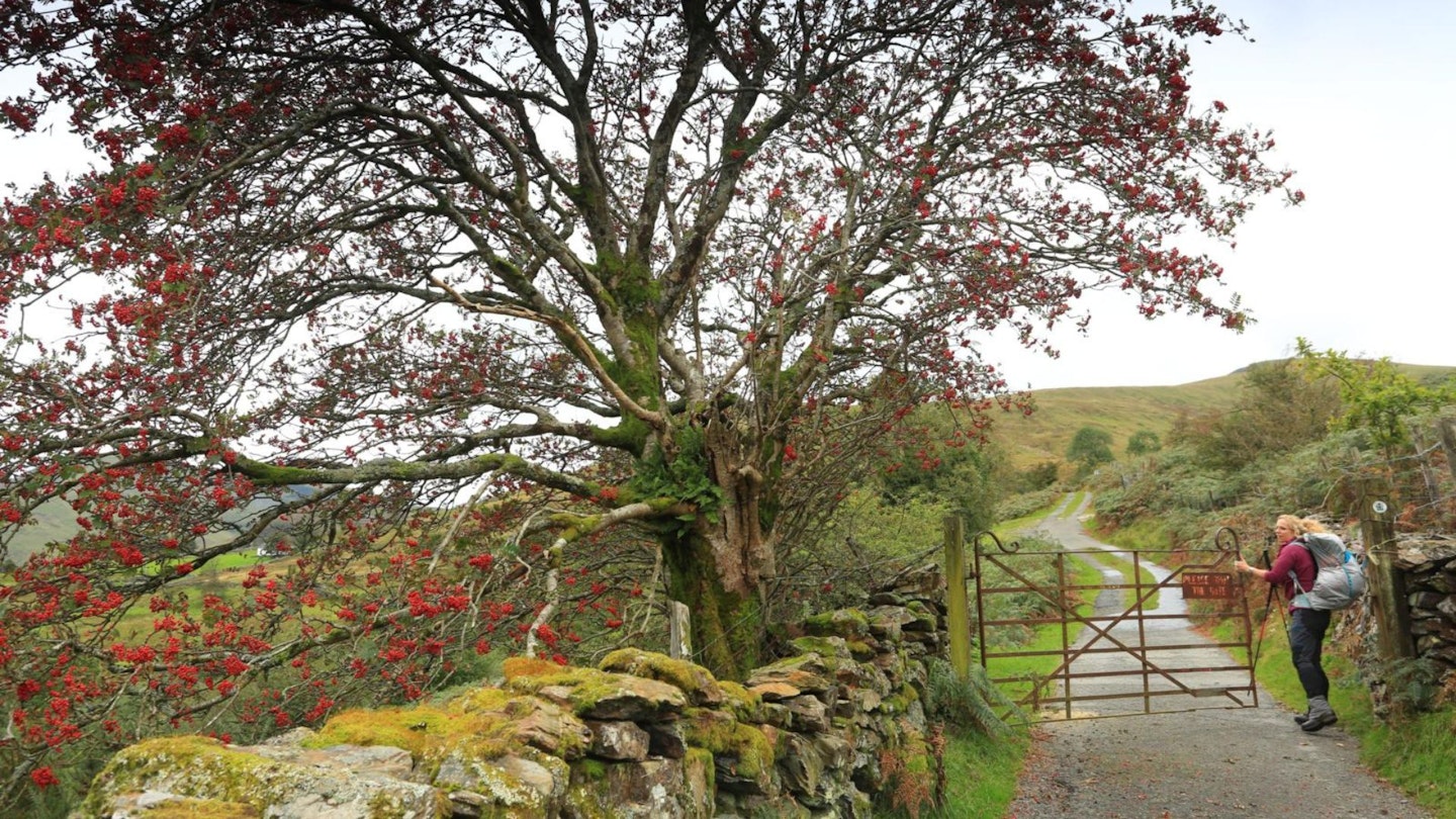
Starting on Llanberis High Street, take the road named Ffordd Capel Coch and follow it generally south-west, passing Llanberis YHA hostel on your left.There is a public footpath leaving this road at SH572595, but if this is very muddy or impassable for any reason (livestock perhaps) the minor road will continue to take you to a junction with a public bridleway at SH572590. This road is fairly steep at times!
-
After crossing through a field boundary, the bridleway carries on north-west, but you should turn your attention to the initially steep spur of Moel Eilio’s north-east ridge. This is a less travelled way onto Moel Eilio, which can be a little wet in places at first…but keep to the crest of this prominent spur and get your breath back at SH567588. Enjoy wonderful views to the southern slopes of the Glyderau.
-
A few hundred metres before the summit area, you’ll have noticed another path coming in from your right, from Bwlch y groes. Moel Eilio’s summit is flat and a shelter is a noticeable feature. Even more noticeable on a clear day are the views taking in mountain and coast panoramas, including Holyhead Mountain on Anglesey, Yr Eifl on the Llyn Peninsula and even the Wicklow Mountains in Eire if visibility is sparkling! And now it’s time for the ridge.
-
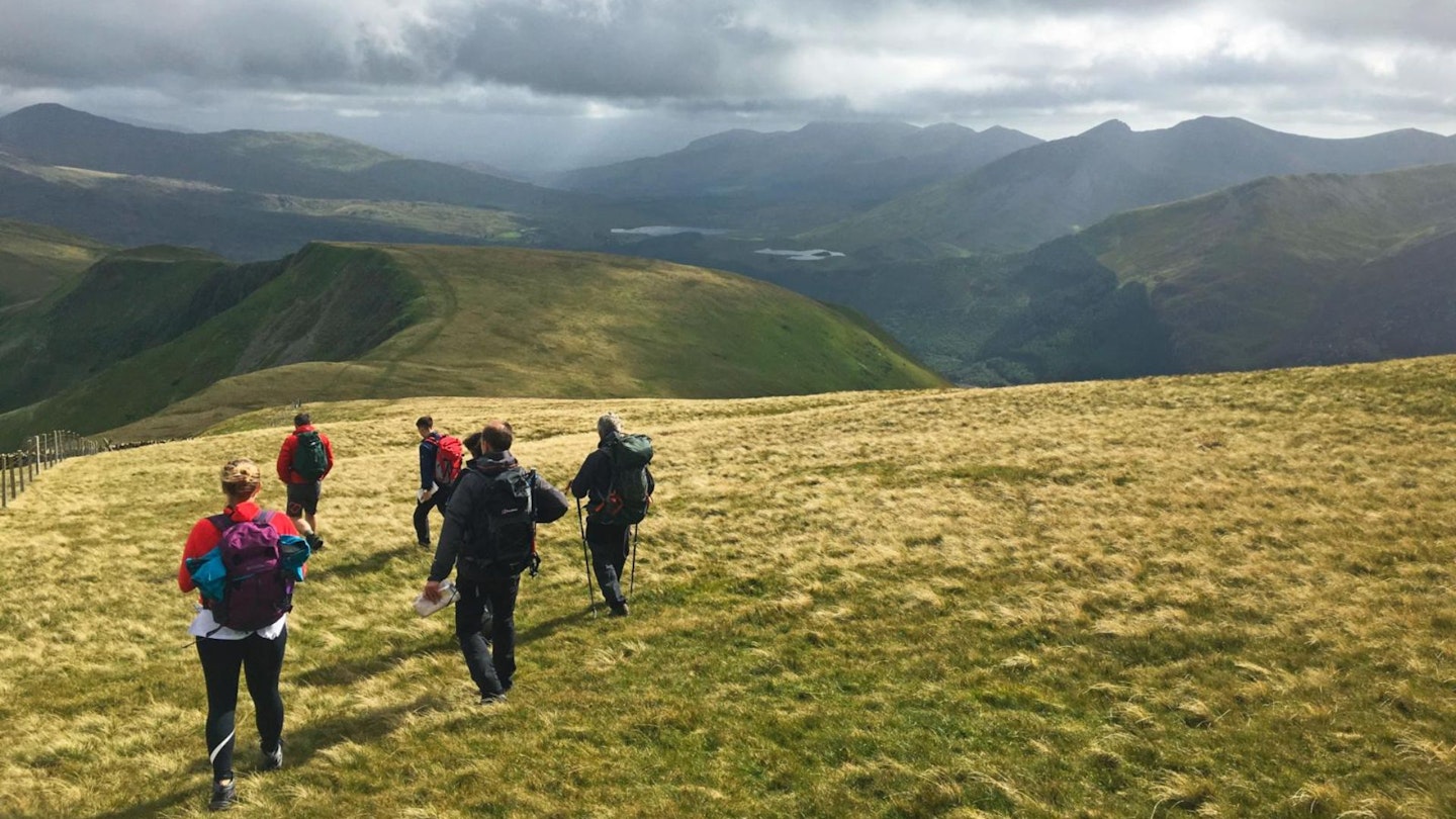
Your journey to Foel Goch summit is a rewarding parade over two middle summits, and this is your third, after the intermediary Foel Gron. As you stride south-easterly, take in the views towards Moel Hebog and Beddgelert Forest, Mynydd Mawr and the shapely Drws-y-coed valley below. In poor weather or snow, be aware of the steep drops to your left and stay back from these, most usefully behind the fence line. As you walk, your eye will naturally be taken by the highest peak, Snowdon – and its glacial hollows of Cwm Clogwyn and Clogwyn Du’r Arddu. You’ll appreciate a moment atop Foel Goch, after the steeper ascent to its summit. Next there’s a steep drop-off to Bwlch Maesgwm ( which offers a very good public bridleway to Llanberis if you need it). Then on to Moel Cynghorion.
-
Was this prominent hill used by previous armies of men seeking out high ground? This Marilyn certainly feels lofty, with steep sides all around; and the pull up from Bwlch Maesgwm is a cheeky, lung-puffing surprise for such a smooth, grassy outline. Another steep, grassy descent whisks you down towards Bwlch Cwm Brwynog (pass of the valley of the rushes). And this low point sees your departure from high ground, into the secret and quiet cwm below.
-
Follow a faint path steeply from the bwlch and pick your way along this as far as it easily takes you – you’ll find many sheep tracks and can hunt out the driest ground as you need. All the while you’re travelling in a northerly and then westerly direction, keeping the steep slopes of Moel Cynghorion to your left. Keeping low towards the river, you’ll meet with a gate at SH587574 and you’ll see the low building of Helfa-fawr (Crashpad Lodges bunkhouse), which was once used when shepherds were gathering sheep in the valley, about 500m away. Head respectfully to this building and pick up a public footpath heading north towards Hebron Station.
-
To get to Snowdon Café (Pen-y-Ceunant Isaf) from Hebron Station, you have a choice to keep off the road and gain a path across fields towards a bridge over Afon Arddu at SH578585, and then north to cross over the Snowdon Mountain Railway on foot. Or keep on the minor road that will lead down steeply, past the start of the Llanberis Path to the warm welcome from Stefan at the café. Here you can stop for hot drinks and bara brith, or a bottle of beer. Now you are a 10-minute walk from Llanberis village centre. After a refreshing beverage, of course…
What walking gear do I need for this route?
This is a proper North Wales hillwalk, so you'll need the obvious basics of walking boots or hiking shoes, a good hiking daypack, a reliable waterproof jacket (essential in Snowdonia!), and a pair of quick-drying walking trousers. Depending on the season you walk this route you may need some extra essentials, so check out our hiking gear section for our latest reviews and recommendations.
Where can I eat and drink?
Pen-y–Ceunant Isaf (Snowdon Café), Llanberis Path
Where's the best place to stay?
Crashpad Lodge bunkhouse and Llwyn Celyn Bach campsite are along the route. For more accommodation deals and options check out Trip Advisor, Booking.com and the YHA.
About the author
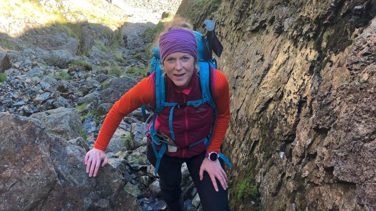
If you find a route written by Kate Worthington in Trail magazine or on Live for the Outdoors, you can be sure it's a cracker. Kate lives and works in the mountains of north Wales, where she's a director of RAW Adventures, plus a qualified Mountain Leader, Winter Mountain Leader and Fell/Trail Leader in Running Fitness. Kate has been hiking, climbing, scrambling and running in the mountains her whole life, and is a master at creating inventive route guides that take her all over Britain in search of adventure.
This route originally appeared in the February 2017 issue of Trail magazine. CLICK HERE to become a Trail magazine subscriber and get 50% off a whole year of digital OS Maps
