Standing high above Beddgelert, Moel Hebog unfairly loses most of its attention to Snowdon, which most people who stay in the village will have come to scale.
Although Snowdon is a fantastic walk, don't necessarily dismiss Moel Hebog in favour of it. Standing at only 782m, it isn't as high as its famous neighbour but nonetheless provides a walk full of fun and variety.
Starting in the main car park in Beddgelert, you wind your way up through the village and on to the hill before you start the main ascent with great views of Snowdonia opening up all around you.
With odd patches of easy scrambling, where you’ll just be following the main path over some larger boulders, you’ll climb up what seems like an impassable face very quickly.
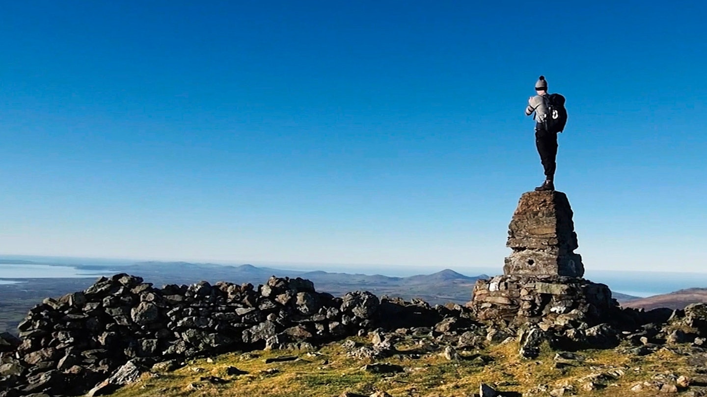
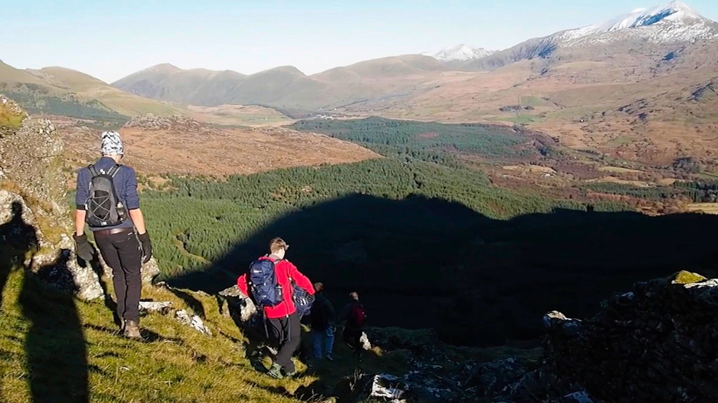
You’ll then be able to enjoy the fantastic broad summit plateau before you move on to the beautiful descent through forestry, where there’s plenty to keep you entertained. If that hasn’t sold it to you the views will, which are second to none.
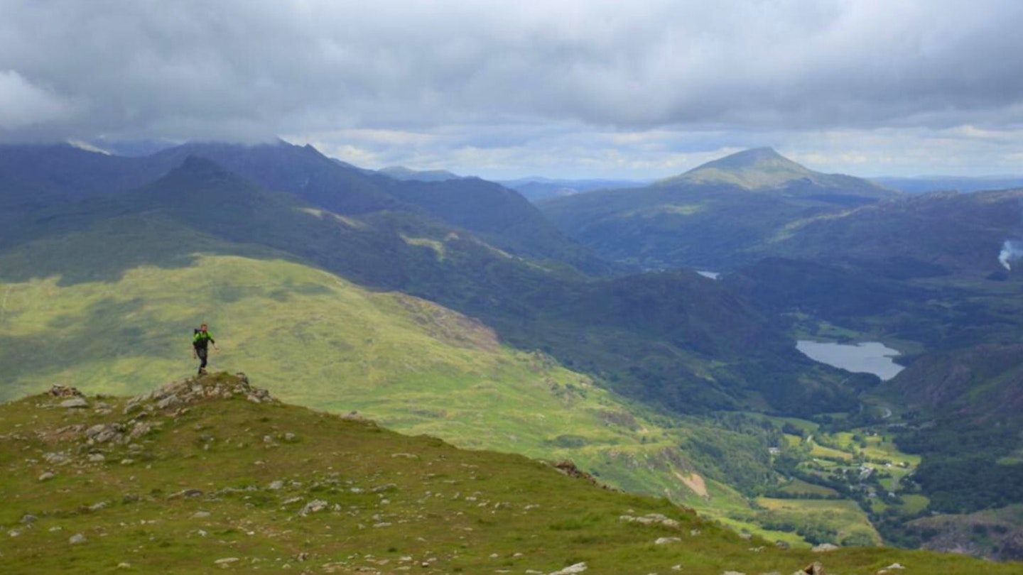
With a fabulous vista over Snowdon itself, you can admire it from afar. And, as you stand on Moel Hebog, alone, you can take satisfaction in knowing you’ve beaten the crowds.

How hard is climbing Moel Hebog?
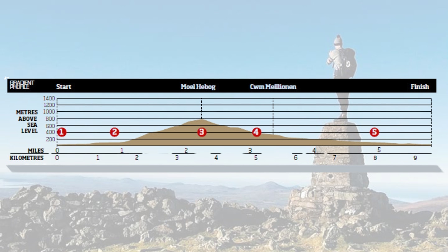
DIFFICULTY: Medium | DISTANCE: 9km (5.5 miles) | TIME: 4 hours | TOTAL ASCENT: 749m
FITNESS: If you're an experienced hillwalker, you'll have no issues with Moel Hebog. It's a good leg stretch but not a tough mountain day compared to some of the bigger and rougher surrounding peaks.
TERRAIN: Country roads, good footpaths and steep, occasionally rough terrain.
NAVIGATION: You'll mostly follow paths and clear hill shapes, but care is needed in poor visibility. So take a map and compass and be armed with the skills to use them.
Where is the start of the walk?
The nearest town is Beddgelert. Start and finish at the main car park in Beddgelert.
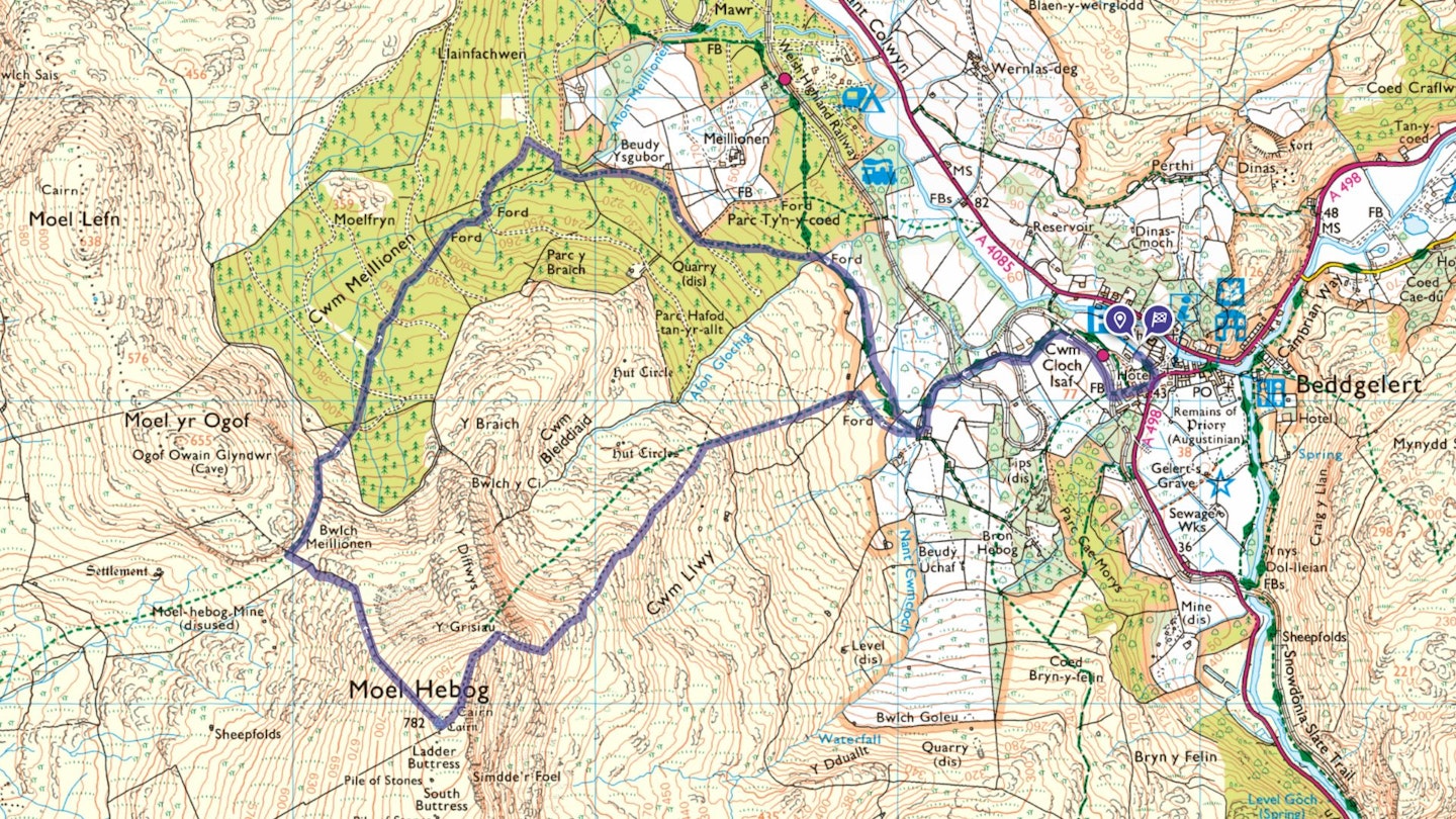
What's the best map for climbing Moel Hebog?
-
CLICK HERE to view and download our digital route guide in OS Maps
Moel Hebog | Step-by-step route guide
-
Start in the main car park in Beddgelert. From the car park, walk down to the main road before turning right, past the Royal Goat Hotel and follow the path up and over a bridge over the railway line. Turn right and follow the stone wall around the edge of the field until you get to a gate onto the road. Follow the road up to your left, where you will cross over two more train lines.
-
You will have reached a farm. Take the wide gate to your right, making sure to fasten it behind you. Follow this main footpath for approximately 45m before you see a small, stone-flagged path leading to the left, upwards towards the mountain. Follow, then cross the stile and go through the two gates. Once through the second, veer to the left-hand side of the ridge and follow the path upwards. It’s very clear and guides you up the ridgeback and steeper face onto the summit.
-
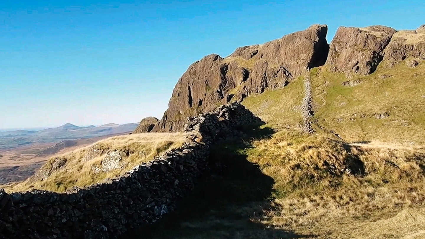
Enjoy the summit and the views before following the wall down the north-west side of the mountain towards Moel yr Ogof. It’s a long steep descent. Once down through the rock outcrop in the col, veer to your right when you hit the decrepit wall that separates Moel Hebog from Moel yr Ogof. Follow this wall down to your right, picking your way carefully through rather rough terrain. You will come to the remains of another wall, lying directly across your path. At this point you need to think about veering away towards the forestry where you will see a large stile.
-
Cross the stile and follow the path through the forestry. Continue following this path down over four fire roads. When you hit the fifth fire road, follow it to your left. Continue along it until you come to a junction and take the road down to your right and follow. This will lead to a smaller, narrower path, over a bridge and you will then be back on the original path. Follow this all the way along until you meet the farm buildings again.
-
You’re now backtracking your steps from the beginning. Follow the road down, over the two train lines and take the gate on the right. You’ll then be on the tree-lined path in the first field again, so follow around the edge, back over the train line bridge, down through Beddgelert, past the hotel and left into the car park.
What walking gear do I need for this route?
Here's a selection of the best walking gear selected by LFTO's testing team: Walking boots | Hiking daypack | Waterproof jacket | Walking trousers | Walking poles | Walking mid-layers | Base layers
Where can I eat and drink?
There are some good options in Beddgelert and the surrounding area. Check out recommendations from the local tourism website: www.beddgelerttourism.com/Eat-Drink/
Where's the best place to stay?
Snowdon Ranger YHA, the Royal Goat Hotel, or look for good local deals on Booking.com
About the author
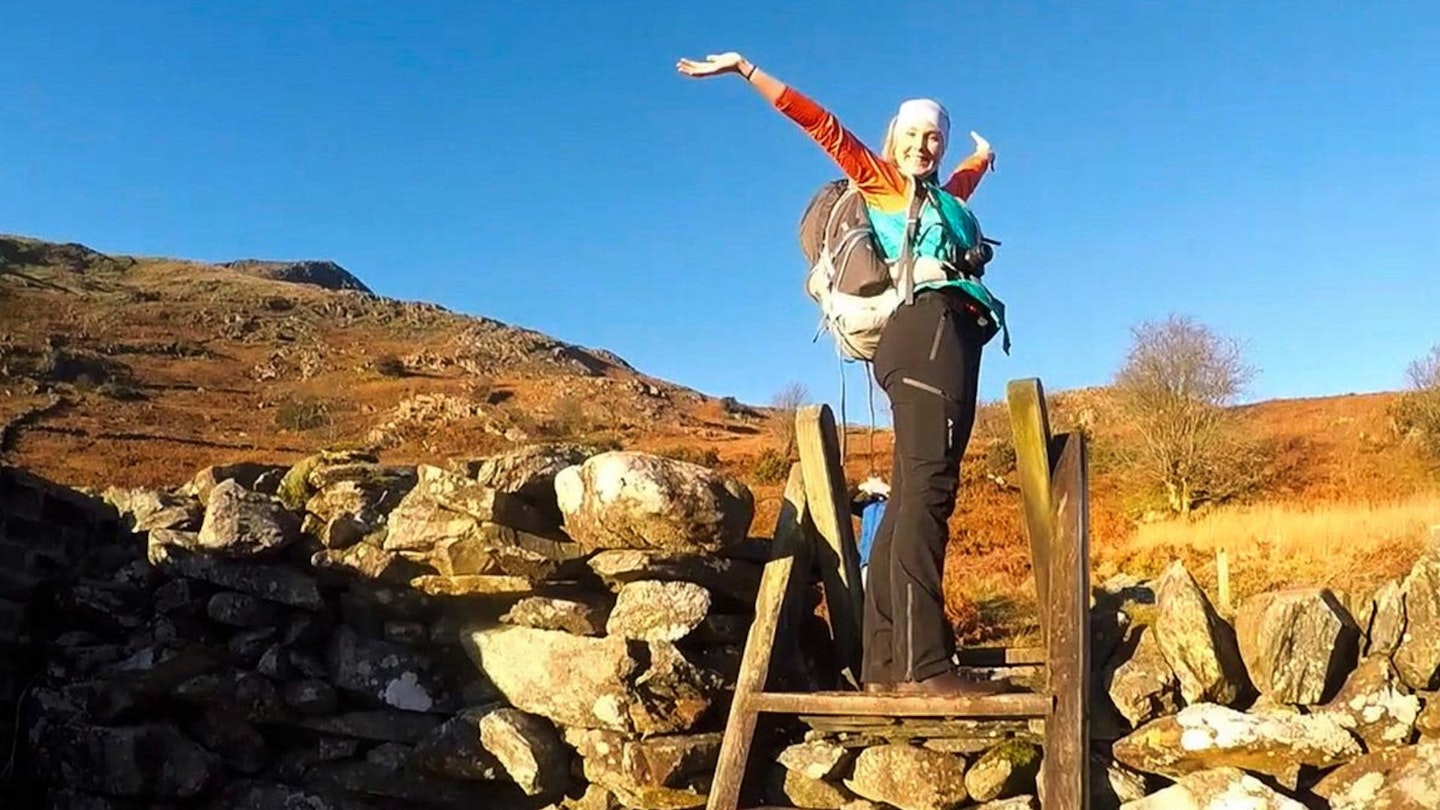
Hannah James (below) grew up in the Brecon Beacons and now lives in North Yorkshire, where she walks and regularly explores the hills and uplands of the Dales and North York Moors. Hannah worked as part of the Trail magazine editorial team for a few years and is now a freelance routes writer.
This route originally appeared in the June 2017 issue of Trail magazine. CLICK HERE to become a Trail magazine subscriber and get 50% off a whole year of digital OS Maps
