If ever there was an example of the importance of keeping an open mind when it comes to walking in the mountains, the Nantlle Ridge is it.
Lacking a single star name, not one of its summits poking above the 750m contour, and without even the courtesy to lay itself out in the shape of a convenient horseshoe, the Nantlle Ridge eschews cheap shots at your attention, yet is one of the most substantial mountain achievements in the country.
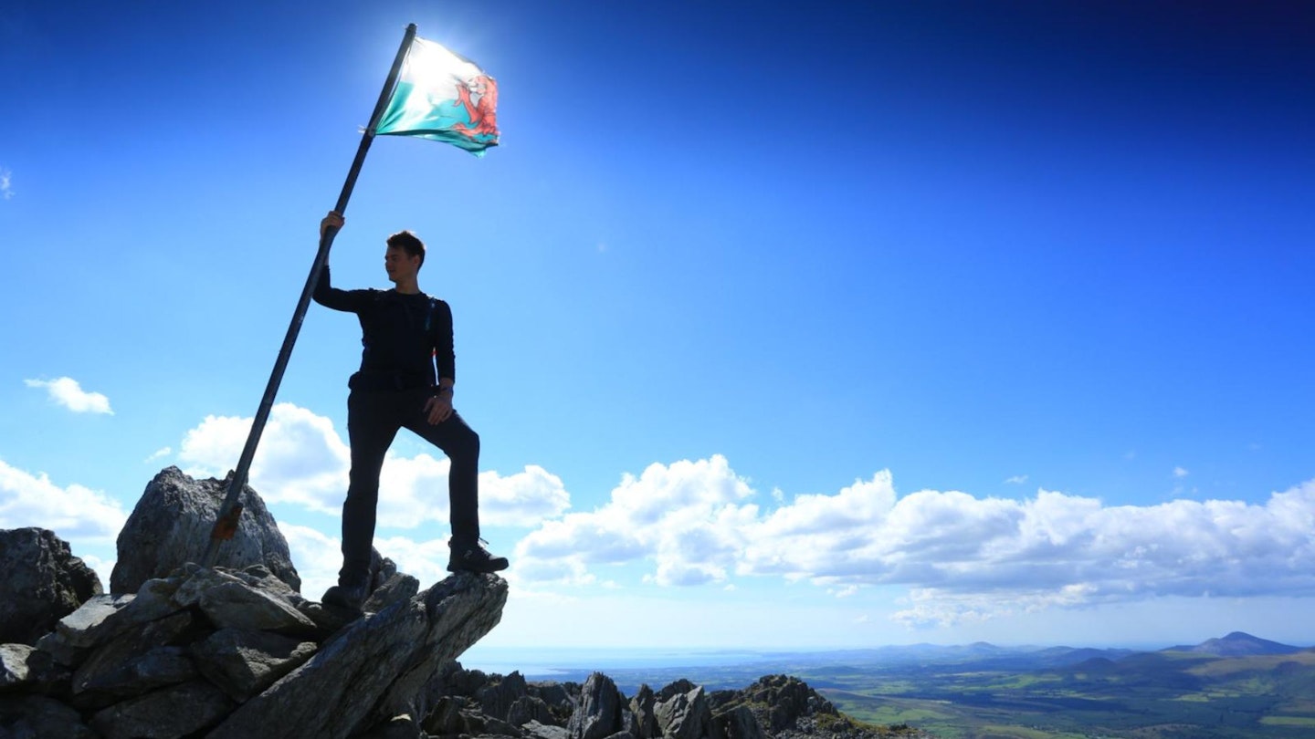
Next to magnificent Yr Wyddfa anything would struggle for the limelight of course, but under its multiple veils of obscurity lies an absolute belter of a ridge walk.
To spend a day traversing it is to immerse yourself deeply in the glory of wildest Snowdonia as if before the coach parties ever discovered it, and convince yourself not only that Eryri is one of the world’s great libraries of adventure, but a groaning shelf of inexplicably under-thumbed thrillers.
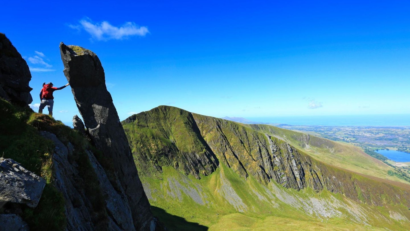
It’s a scrambly adventure for sure, but its hands-on sections are relatively brief Grade 1 stuff – enjoyably absorbing rather than really alarming, and in the case of the trickiest one, on Craig Cwm Silyn, avoidable should you wish.
You can nibble Nantlle as a circular walk from Rhyd-ddu, abbreviating the ridge at the obelisk-topped Mynydd Tal-y-mignedd, if limited by time, weather or transport.
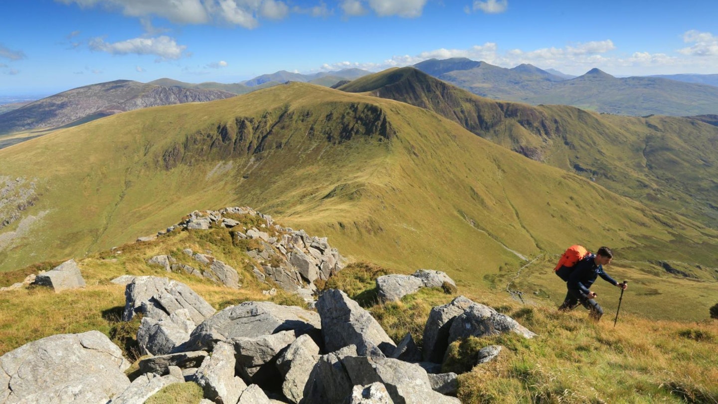
But a complete traverse taking in Y Garn (633m), Mynydd Drws-y-coed (695m), Trum y Ddysgl (709m), Mynydd Tal-y-mignedd (653m), Craig cwm Silyn (734m), Garnedd Goch (700m) and perhaps even Mynydd Graig Goch (610m) should be on your bucket list.
You’ll need a second car parked near Llanllyfni at (grid reference SH495510), but it’s worth the hassle for one of the most satisfying tasting menus of Grade 1 scrambling, mountain atmosphere and lofty spectacle imaginable. Once you’ve wolfed it, you won’t shut up about it – for all that anyone will know what you’re talking about.
How difficult is the Nantlle Ridge?
If you’re an experienced mountain walker then this isn’t a route that should hold too many difficuklties. It isn’t too long at just over 14km and has a relatively modest height gain at 1005m. There are a couple of scrambling sections with mild exposure but nothing to rival a ridge like Crib Goch.
Rather than being sharp and scary, many people describe the Nantlle Ridge as 'Snowdonia’s Best Ridge Walk', which feels like a good summary to us.
What scramble grade is the Nantlle Ridge?
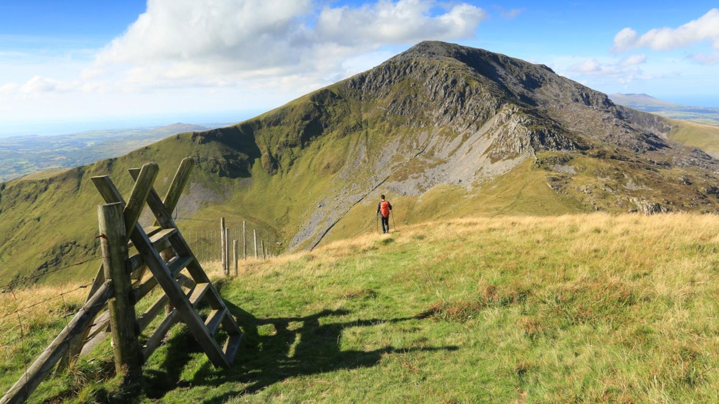
Officially there are some sections of Grade 1 scrambling, but they only make up very short sections of the ridge. For the most part it is glorious and undulating hillwalking.
Where’s the best place to start from?
The transportation logistics are the trickiest part of walking the Nantlle Ridge. Most people start from Rhyd Ddu and head west to the end point of the ridge near the village Llanllyfni (which is the route described below).
Public transport is limited to say the least, so you'll be faced with an expensive taxi ride or a long walk back unless you leave a second car at the end.
What’s the best map for the Nantlle Ridge?
Where’s the best place to stay?
The Snowdon Ranger YHA is very good, as is the legendary Pen-y-Pass YHA a little further away. We also rate the Cwellyn Arms in Rhyd-Ddu with its wide range of accommodation, and the excellent Llyn Gwynant Campsite. For good local deals near the start of this route, check out Booking.com
How to walk the Nantlle Ridge: step-by-step guide
-
Reaching the summit of Y Garn after the steep climb from Rhyd-Ddu is a fitting start to your joy ride. A deck of hilltop surrounded on three sides by fresh air, it feels like the high platform you reach before embarking on the highest waterslide of your life. Ahead, the teetering summit of Mynydd Drws-y-coed, heaped above the void of Clogwyn Marchnad, along the rim of which you’ll – somehow – be walking. It’s a ravishing prospect.
-
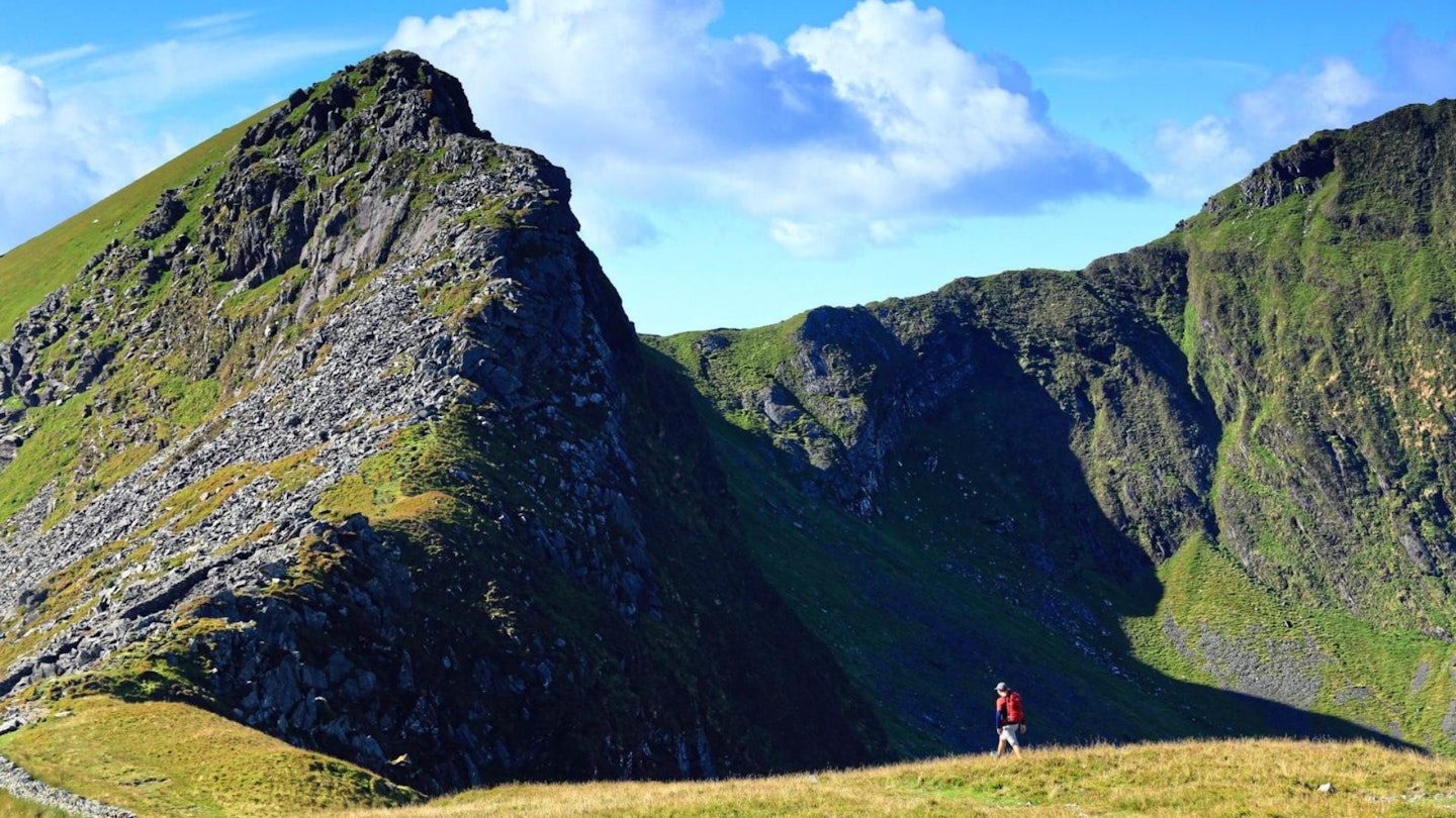
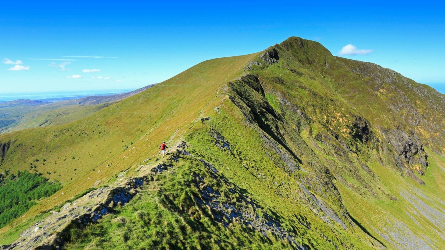
The scramble up Mynydd Drws-y-coed is encouraging, not exposed, and with all the assistance you could desire lent by satisfying foot and handholds, and leaving you hungry for more. The onward route to Trum y Ddysgl is up a taut grassy ridge – untechnical but lean of fat and engagingly pointy. Beyond the summit of Trum y Ddysgl the going becomes a broad and sheep-cropped grassy ridge.
-
Between Trum y Ddysgl and Mynydd Tal-y-mignedd, and before the ridge becomes once again engrossingly narrow there’s a grassy exit-ramp heading south and back towards Rhyd-Ddu through the woodland. Handy if the weather deteriorates or you’ve discovered not everyone in your party likes scrambling as much as you thought.
-
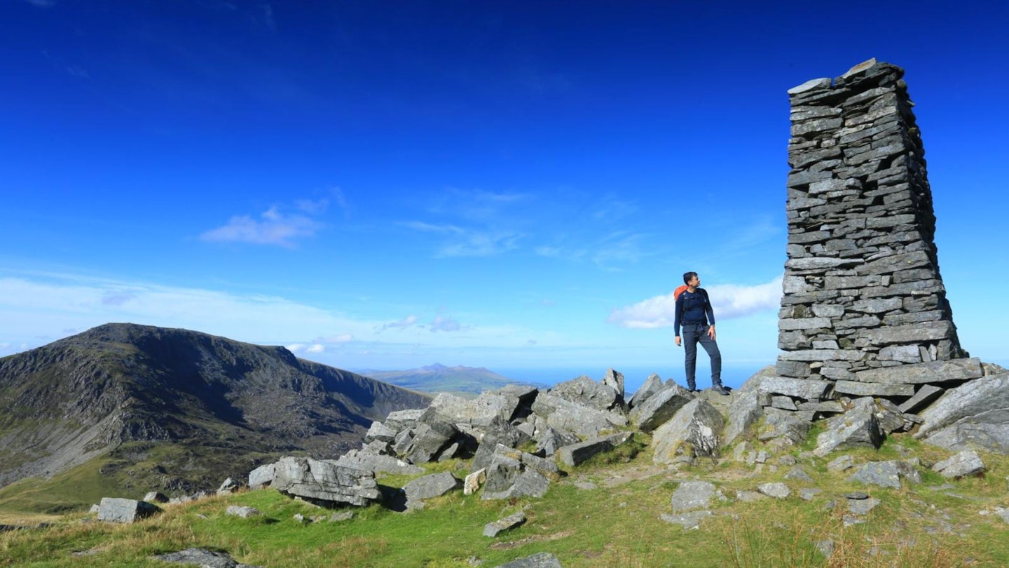
Pressing on, the summit of Mynydd Tal-y-mignedd makes up for being rather bland by having the most turbo, super, ultra-cairn which was erected for Queen Victoria’s diamond jubilee in 1897.
-
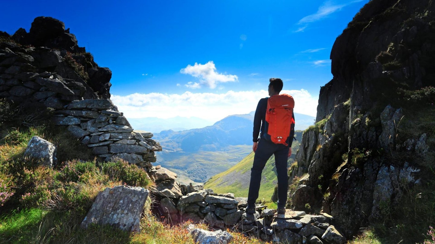
Decision time: the path offers a right branch which avoids all the delicious jeopardy of Craig Cwm Silyn, the highest peak on the ridge and the one that offers the meat of the scrambling. Stay straight, and your route clings just to the right of the crest of the ridge, where Grade 1 scrambling on grippy rock with positive holds awaits. It’s pleasingly challenging, but an entertaining clamber for anyone who remembers tree-climbing fondly; just the right sort of physical puzzle for adventurous walkers.
-
Garnedd Goch is a relax-and- roll-the-credits top – mostly broad and grassy and with no cause to remove hands from pockets until you reach the second car at lane end near Maen-llŵyd (grid reference SH495510). But if you’ve energy and an urge to support the underdog, push on for an out-and-back visit to the tor-topped summit of Mynydd Graig Goch (610m) before dropping back to Bwlch Cwmdulyn.
-
The last top in the Nantlle Ridge suffered the ignominy of being recorded as 1998ft on OS Maps for years, until a campaign by supporters saw it reinstated to the list of Welsh 2000ers after being re-measured in 2008 at 609.75m, or 2000ft and 6 inches, to be precise.
What gear do I need for this route?
This is a proper mountain route, so we'd recommend investing in good and robust kit. Walking boots are an obvious essential, as is a good hiking daypack, a reliable waterproof jacket (essential in north Wales!), an insulating layer, and a pair of quick-drying walking trousers with some packable waterproof overtrousers in your bag.

About the author
Guy Procter is a former award-winning editor of both Trail and Country Walking magazines and a vastly experienced writer about walking and hiking.
He's covered almost every inch of Britain on foot, camped in more weird places than he'd care to remember, climbed more mountains than most of us can dream of, and has contributed to LFTO ever since the website was first created.
