
This is one of the classic walks of North York Moors National Park, and it climbs to the iconic and distinctive peak of Roseberry Topping, above the town of Great Ayton.
Although Roseberry Topping only rises to 320m it has often been compared to the Matterhorn in Switzerland, due to its summit’s half-cone shape and jagged cliffs.

Roseberry Topping gives the walker a symbolic image of the North York Moors, and its outline is featured in the logo for the nearby Teeside International Airport. It was traditionally thought to be the highest top in the North York Moors, but there are a total of 15 other peaks higher than it.
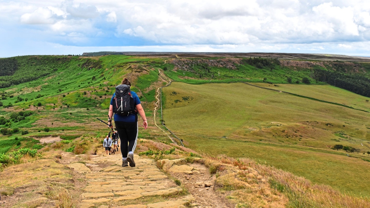
Roseberry Topping is an outlier of the North York Moors National Park, but this isolation makes it all the more appealing and gives a superb all-round view from its exposed summit.

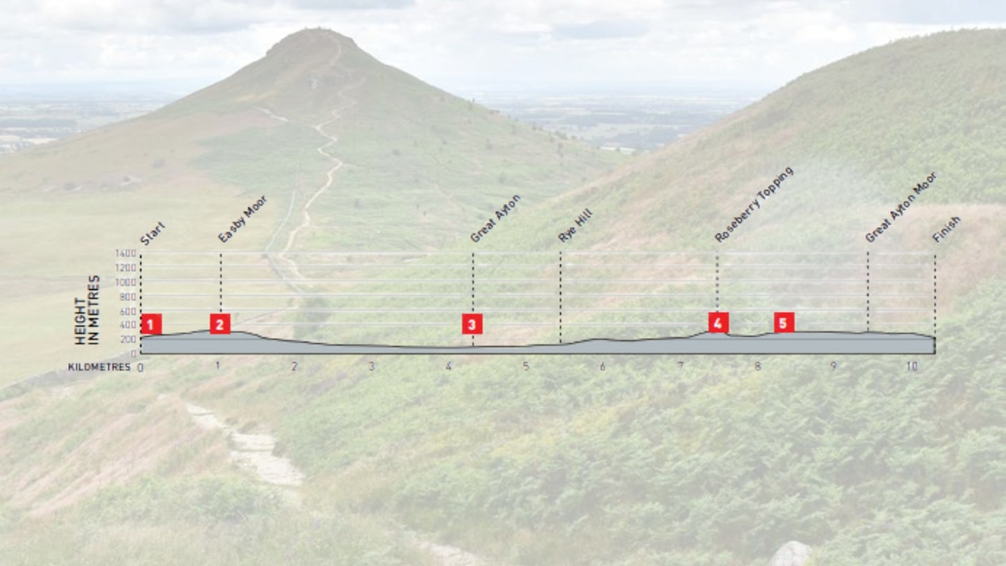
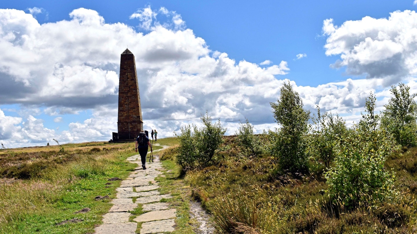
The walk starts with an ascent of Easby Moor to reach the 16m-high Captain Cook Monument on its summit. From there a descent to Great Ayton is followed by the climb to Roseberry Topping’s airy summit. A moorland walk along The Cleveland Way then takes you back to the start.

How long does it take to walk up Roseberry Topping?
DIFFICULTY: Easy | DISTANCE: 10.6km | TIME: 3 hours | TOTAL ASCENT: 420m
FITNESS: Plenty of ups and downs on rough ground.
TERRAIN: Mostly good paths and tracks throughout the walk. Some exposure on the summit of Roseberry Topping.
NAVIGATION: Paths and tracks are generally clear and easy to follow throughout, with a few exceptions. Straightforward navigation.
Where is the start of the walk?
Use the car park on Dikes Lane below Easby Moor and above Great Ayton.
What's the best map for Roseberry Topping?
-
CLICK HERE to view and download our digital route guide in OS Maps
Roseberry Topping | Step-by-step route guide
-
From the west end of the car park near the cattle grid, go through a gate signposted ‘Kildale’ and ‘Cleveland Way’. Rise southerly on a good track in woods. Higher up follow a paved path through thinning trees. As the angle eases continue to the Captain Cook Monument on Easby Moor.
-
With your back to the ascent route, take a path cutting back sharp right and heading north-westerly towards a wall. Continue to pass through the wall at two gate posts. Follow the path to cut half-left at a low marker post. Keep ahead on the good descending path in trees. Continue to reach a wall and continue by it. At a path junction go right towards a small reservoir below. Pass through a gate and continue on the path beyond. Pass through nother gate to continue through trees and bushes. When the path becomes a lane continue on it. Continue to go left at a crossroads. Follow the lane past Great Ayton station. After this, continue on the lane into Great Ayton. At a roundabout go right. Continue to a T-junction and go right on Newton Road. Shortly reach a kissing gate and public footpath sign on the right.
-
Take the footpath through the kissing gate. Follow the path through a series of kissing gates to cross a railway line via two gates. Continue on the path beyond. Cross a surfaced track to pass through a gate and follow the path to curve left and pass through a gate. Climb steps in Cliff Ridge Woods rising to a path junction. Take a path half right to rise again in trees. Stay ahead when the path forks right shortly. Rise to a kissing gate at the edge of the woods. Pass through to a footpath junction. Go left on a path to shortly go right at an information board. Continue to a house passing through a kissing gate on the way. At the house go right over a stile and descend towards a farm. Pass through a gate in the farmyard and go left on a bridleway. At a gate follow the bridleway sign through a gate to the right of the main gate. Take the enclosed path beyond. At the end of the enclosed section pass through a gate to cross the track you left and take a signed footpath through a kissing gate. Follow the rising path beyond to pass through a kissing gate to a path junction. Go straight ahead up steps. Curve right to follow the path back left and climb to the summit of Roseberry Topping.
-
Head easterly back down the ridge on your outbound route, but continue ahead when it cuts right. Follow the zigzag path down to a col. Cross the col to follow the path uphill beyond. As the angle eases, curve right to reach a gate.
-
Pass through the gate to go ahead on the Cleveland Way at a path junction. Follow the path along the ridge by a wall. Continue to descend steps back to the car park and start.
What walking gear do I need for this route?
Here's a selection of the best walking gear selected by LFTO's testing team: Walking boots | Hiking daypack | Waterproof jacket | Walking trousers | Walking poles | Walking mid-layers | Base layers
Where can I eat and drink?
There are pubs, cafés and shops in Great Ayton.

Where's the best place to stay?
Try The Royal Oak Great Ayton. There is also a camping site at nearby Little Ayton, and you can check Booking.com for good local accomodation deals.
About the author
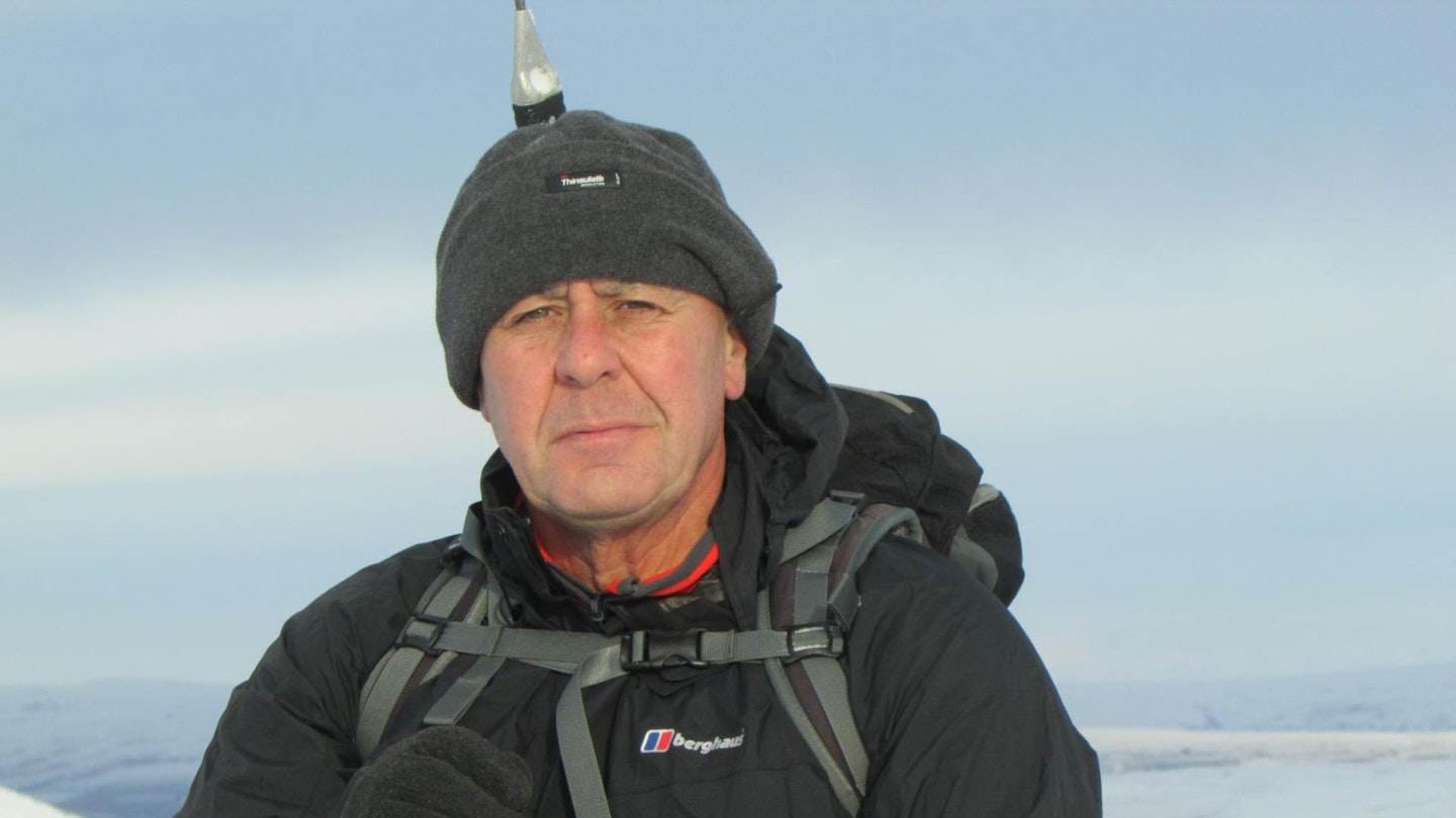
Steve Goodier is an experienced hillwalker and freelance outdoor writer specialising in hiking routes in the Lake District, Yorkshire Dales and Scottish Highlands. He's walked and climbed all over the world and produces regular walking routes for Trail magazine and LFTO.
This route originally appeared in the March 2023 issue of Trail magazine. CLICK HERE to become a Trail magazine subscriber and get 50% off a whole year of digital OS Maps.