
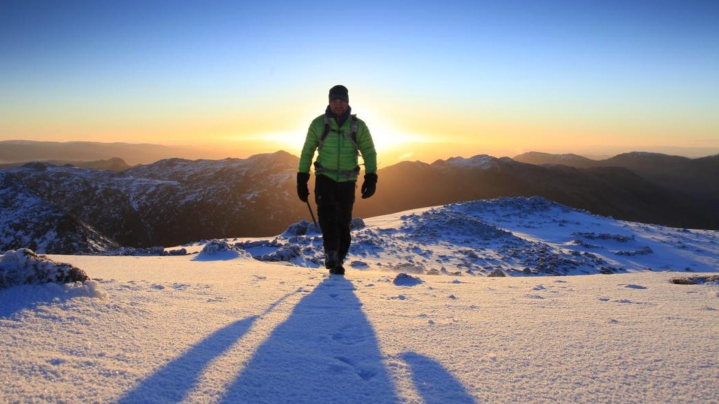
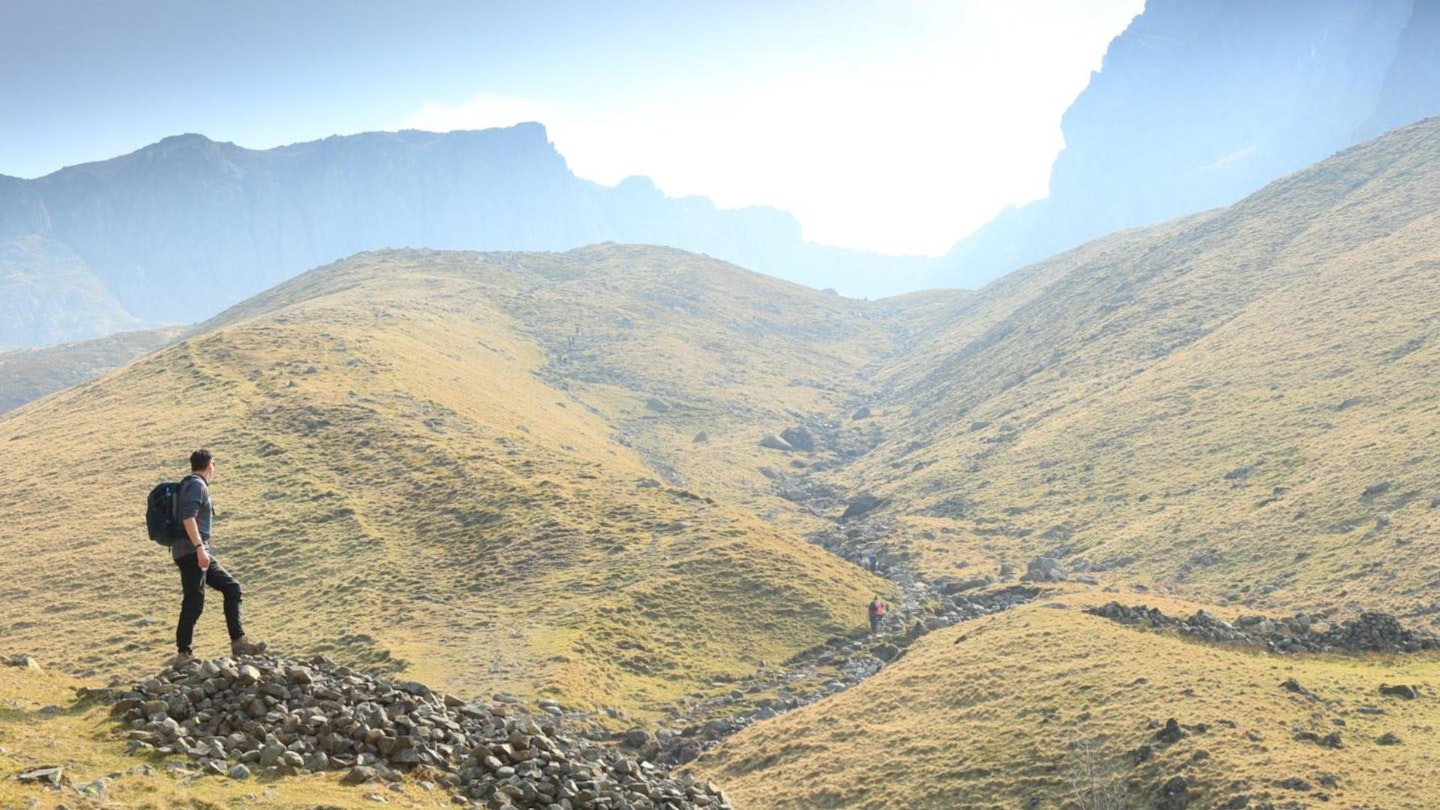
Scafell Pike is the highest mountain in England – and there’s a strong argument that it’s also the best.
Towering 978m above the country’s deepest lake and smallest church (we love those quirky facts), this famous Lake District peak is a complex masterpiece of towering crags, shadowy gullies and spectacular walking routes.
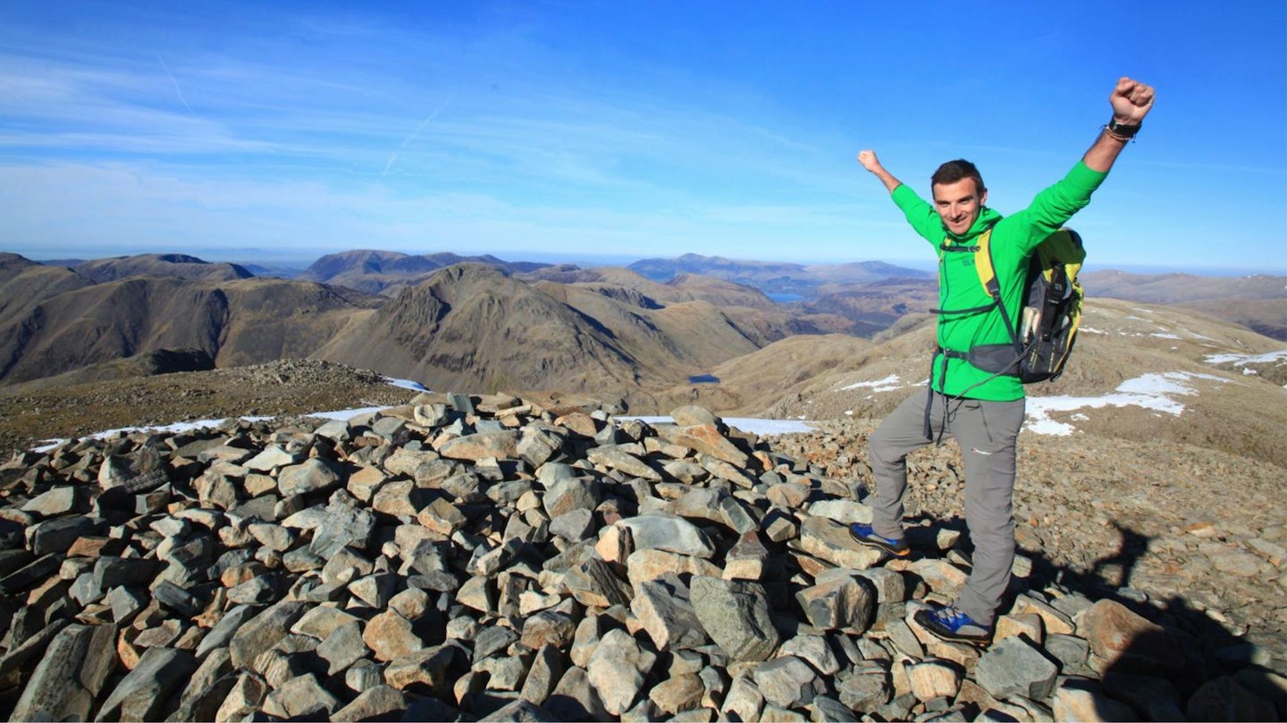
Scafell Pike is a mountain steeped in history, folklore and geological wonder, drawing visitors from all over the world with the common goal of reaching its large rocky summit cairn so that, just for a few seconds, they can claim to be the highest person in an entire country.
If you’re planning to climb Scafell Pike and need a few tips to help you plan your ascent, read the guide below which has been compiled by our team of experts. Who between them have walked every route and climbed the mountain from every angle.
In this article, you’ll find advice on everything from picking the best route and parking responsibly to where to stock up on food and which pub to visit for a post-walk pint.
But first, in the words of former Trail magazine and Nat Geo online editor Simon Ingram, here’s why Scafell Pike is the perfect target for your next hiking adventure.
Scafell Pike – a strange, sinister mountain

A spiky name can make you famous when you're a hill. Hit the ear like you were forged in the Dark Ages by fire and hot pokers, and you could become what Scafell Pike is to most people: whispered, frightening, of myth.
Being slighter and more subtle than Ben Nevis and Snowdon, somehow these rather darker qualities were always going to bulk out what the mountain lacks in very great height, and make England's highest peak legendary for far more interesting reasons.
This is the way for English hills in the main – unless you're something like Great Gable or Ingleborough, being less physically shrill than many Scottish or Welsh counterparts means you need to mine your charm from elsewhere. This can be done in a kind of aristocratic, literary way – as with the green fells of Grasmere, beloved of Romantic poets and easel-lugging painters – or in a menacing, gothic way. As, verily, here.
Scafell Pike flaunts the latter traits like no other. Beneath a 978m trig point (3,209ft in old money) this summit mixes every strain of quintessentially English, mossy charisma to high concentration.
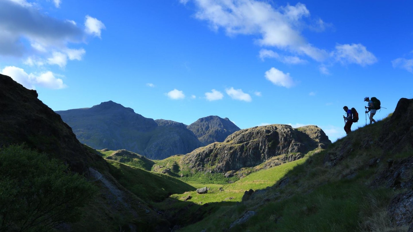
It's a strange mountain. Unlike Snowdon or Ben Nevis, it doesn't have a silhouette that lends itself to instant recognition, nor a single, defining angle. There are triggers – the gap of Mickledore, and the fluidic swirls of its upper reaches, like fresh lava that has set mid-ooze. Perhaps it's due to its membership of a massif – Siamesed as it is to the oft confused though distinctly separate Sca Fell – but Scafell Pike is most certainly a mountain that hides its identity.
From Wasdale, it's all fanning, elegant slopes sinewed with grey streams in its lower reaches, moated by valleys and fields crackle-glazed by drystone walls. In its higher reaches, the gentility ends and brutality takes over: whorls of tumorous rock, buttresses like rotting bone ends and sudden cliffs comprise the mountain's top third. It's striking, and angry-feeling.
Approach from Eskdale through the Great Moss, though, and the Scafell massif stands above it as a row of pyramidal summits that peer regally down onto this broad floodplain. Scafell Pike is one of them, yet from the mouth of Great Moss, Ill Crag, Broad Crag and the Pike are unnervingly similar. From here, increasingly so as you approach and square up, Scafell Pike is a triangle – sharp and chewed, like an unearthed arrowhead.
Seen from Borrowdale, it changes skin again. This valley is the jumping-off point for many who travel the slopes of the mountain, but you can't see it at all. Its top is lost among the heads and shoulders of its sentry peaks, which jostle it like minders flanking a dictator. Once in its higher places, the mountain becomes a labyrinth, all rock and rampart. In mist, the top of Scafell Pike is a place of sinister atmosphere, all cloud-cloaked shapes and the delicate clink of boulders amid a huge, absorbent silence.
This is Scafell Pike's wonderful weapon. It disarms your expectations. It's a mountain that keeps you guessing, then surprises the hell out of you. It's more rocky, more vague, more mysterious than Snowdon or Ben Nevis. In the middle of the night – when firefly chains of 'Three-Peakers' often taste the mountain for the first time – it becomes thrilling and confusing. Ghosts of old climbing hang thick hereabouts – Samuel Taylor Coleridge inadvertently 'invented' mountaineering on a descent of Broad Stand just feet away. Great Gable and its historic crags lie in bare relief below. The entire Lake District sprawls below your boots.
Whoever you are, stand at the highest point of a country so storied, so rich, and look down upon whatever lies beneath – be it a low-lit evening landscape of mountains and shadows, an endless view of land, lake and sea stretching to the Isle of Man and beyond, murk, or a mix of the three. And you will feel epic.
Climbing Scafell Pike – common questions answered
How high is Scafell Pike?
England’s highest mountain stands 978m tall, placing it 14m higher than its near neighbour Sca Fell. It’s worth remembering, though, that if you start your accent of Scafell Pike from Wasdale Head, as many people do, you’ll start walking from an altitude of around 65m. Which means you’ll need to climb almost the mountain’s full height to reach the summit.
So although Scafell Pike may officially be over 100m shorter than a peak like Snowdon, the overall amount of ascent you’ll climb to reach the top is likely to be more. Because many people begin climbing Snowdon from Pen-y-Pass, which itself has an altitude of 346m.
Where is Scafell Pike located?
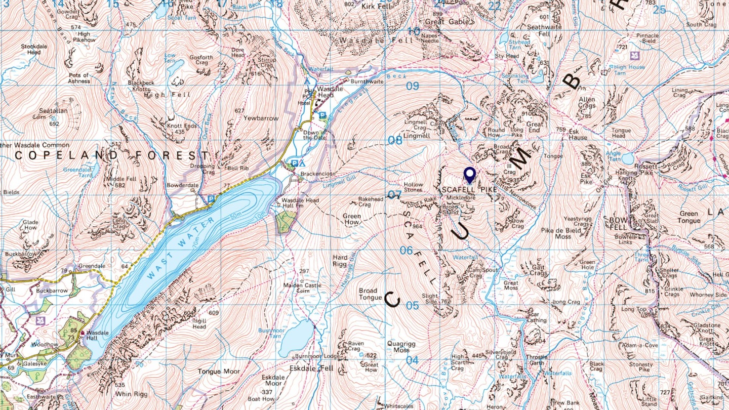
Scafell Pike is located on the western side of the Lake District, so it isn’t the easiest peak to get to, and the route you choose to climb the mountain by will determine how you reach it.
If walking from Wasdale or Eskdale, you can reach the mountain by taking the A595 around the north and western Lakes towards Gosforth, then following local roads through Nether Wasdale and into Wasdale. If approaching from the south, leave the M6 at junction 36, then follow the A590, A5092 and A595 towards Wasdale and Eskdale. If walking from Borrowdale, head to Keswick before taking the B5289 into Borrowdale.
By public transport, the ‘Borrowdale Rambler’ bus runs from Keswick to Seatoller and is ideally suited to walkers ascending Scafell Pike from Borrowdale. Eskdale and Wasdale, however, are much more difficult to reach by bus. The nearest mainline train station is Penrith, but if walking from Wasdale or Eskdale the closest railway station is Seascale near Gosforth.
Is Scafell Pike a dangerous mountain?
Anyone who dismisses Scafell Pike as being easier than taller UK peaks such as Ben Nevis and Snowdon is seriously underestimating it. Unlike those aforementioned mountains, Scafell Pike sits below the 1000m contour and in terms of physicality is well within the reach of most walkers.
But it’s a complex peak with a featureless rocky summit ringed by crags and gullies. Care must be taken around the summit whatever route you approach from, and be sure you choose your path wisely. You must also be handy with a map and compass to navigate safely in poor visibility.
Scafell Pike doesn’t have the same level of exposure as many other UK mountains, but can be dangerous if not given the respect it deserves.
How long does it take to climb Scafell Pike?
How long it takes to climb the mountain very much depends on your route and level of fitness. The Hollow Stones track from Wasdale is the busiest path on Scafell Pike and the average time to the summit and back is around 6-7 hours. Although Three Peaks Challenge walkers often aim to complete it in 5 hours or less.
Longer approaches such as the Corridor Route are likely to take longer but in some cases are easier to reach by car, especially if starting from the Borrowdale side of the mountain.
What’s the easiest route up Scafell Pike?
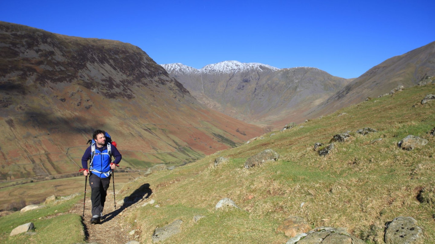
We’ll start by saying no route up Scafell Pike is easy. The Hollow Stones path is technically straightforward, with the ford over Lingmell Gill and its potential to drench your feet being the biggest obstacle on a clear and calm day of weather.
But it’s a rough ride all the way, with a mixture of rocky trails, constructed stone paths, loose rocks and boulder fields leading to Pike’s 978m summit. You’ll ascend just over 900m between the car park in Wasdale and the summit, so don’t underestimate it.
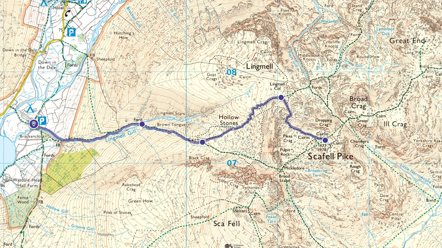
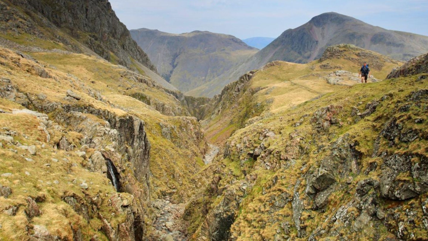
The most popular route for walkers wanting a little more adventure on their way to the roof of England is the Corridor Route. This can also start from Wasdale, rising up Sty Head along the Moses Trod Path before scrabbling up the rocky western flanks of Great End and Broad Crag to Lingmell Col and Scafell Pike’s summit.

We wouldn’t go as far as to call it a scramble, but there are sections where you need to use your hands and it feels daunting when the rocks are wet and the cloud is low. Our favourite way to walk it is from Borrowdale, climbing up past Taylorgill Force waterfall to Styhead Tarn before joining the Corridor Route proper.
There are plenty of other excellent routes to climb Scafell Pike by, including a long and hugely rewarding route from Great Langdale via Mickleden and Esk Hause, or the secretive scramble of Cockly Pike ridge from Eskdale.
What’s the weather like on Scafell Pike?
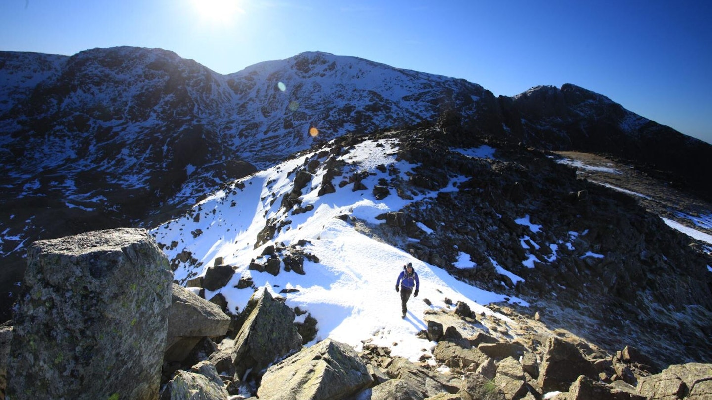
We hate to tell you this, but often it’s not good. The high peaks of the western Lake District receive their far share of rain, wind, sleet and low cloud – and we’ve been caught in hail and snow showers on Scafell Pike even in high summer.
The fact Seathwaite in Borrowdale, just a few kilometres to the north, is officially recognised as England’s wettest inhabited place with 3300mm of annual rainfall should give you some indication of what to expect.
But that doesn’t mean it’s always bad! Catch the Pike on one of its many good days and you’ll be treated with views that match the mountain’s lofty status. As well as the mighty cliffs of neighbouring Sca Fell, you get a great angle across to Lakeland icon Great Gable, and magical views down Wast Water and over the Irish Sea to the Isle of Man.
The Mountain Weather Information Service is updated twice daily and the Met Office Mountain Forecast provides an hourly overview of the conditions you could face on the summit.
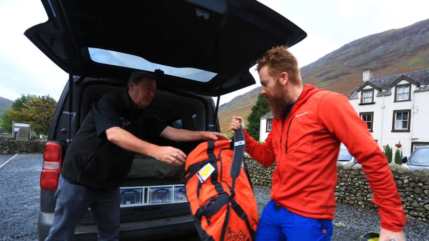
What gear do I need to climb Scafell Pike?

Whatever route you choose, climbing Scafell Pike is a proper mountain day so you’ll need reliable gear and the skills to navigate if the weather turns on you.
Absolute essentials include comfortable and supportive footwear, a waterproof jacket, waterproof trousers, insulating layers, hat, gloves, a backpack to carry food and drink, plus a printed map and compass. The Hollow Stones path is likely to be busy in the main walking seasons, but you can’t rely on other walkers to be close by if you need to make decisions on navigation.
See our hiking gear reviews for all the latest product testing from our expert gear team.
Where's the best place to park?
The Lakehead pay and display car park is ideal for anyone using the Hollow Stones path or other routes from Wasdale. This is open 24 hours and your fees go to conservation projects and maintaining routes up Scafell Pike.
Avoid parking in passing places, Mountain Rescue access points, private tracks, gateways, verges or Wasdale village green. If attempting the Corridor Route or other paths from Borrowdale, there is roadside parking available near Seathwaite Farm (grid ref NY235121, postcode CA12 5XJ). Spaces are limited, but parking is free at the time of writing.
Where can I buy food and drink?
Make sure you take lots of food and water supplies as there are no facilities to provide them on or near the mountain. It’s best to carry too much and not need it. Keswick has plenty of shops, as do Whitehaven, Cockermouth and Kendal.
What’s the best local pub?
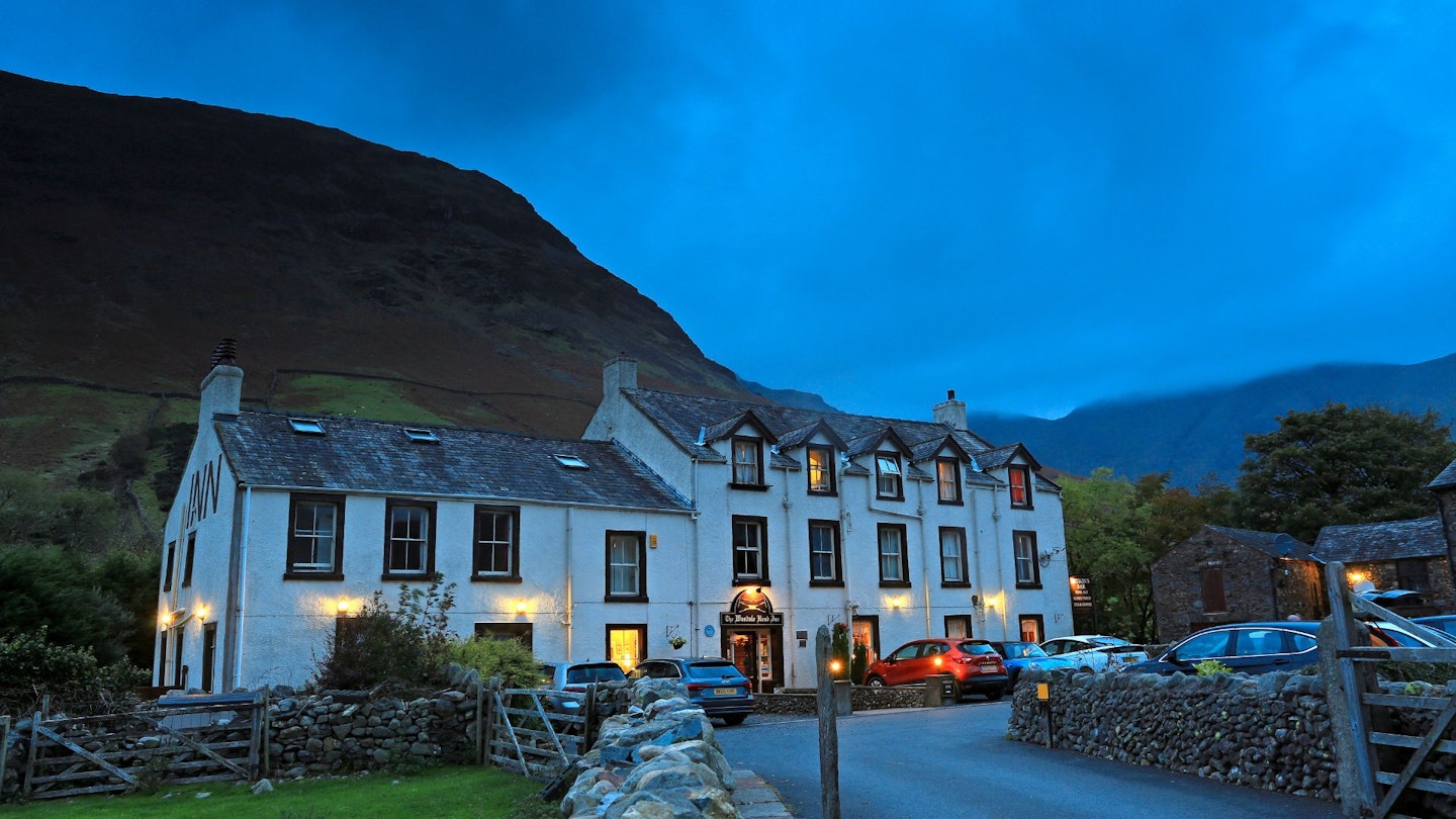
The Wasdale Head Inn is legendary. Allegedly the birthplace of British climbing and surrounded by England’s highest mountains at the head of unspoiled Wasdale, this is a fine base for walking. The food is good, the beer is even better and it offers excellent accommodation options.
Where’s the best place to stay?
Keswick, Wasdale, Borrowdale and the surrounding areas have a huge variety of accommodation options, ranging from campsites, inns, B&Bs and hostels to luxury hotels. The official tourist board website is a great place to start looking.
Will I get mobile phone signal?
Phone reception can be extremely patchy in the Lake District’s valleys and certainly doesn’t work on all parts of the mountain. Often the higher you get, the better the signal but it’s never guaranteed. If you’re using a GPS app that requires mobile data, it can’t be relied on for navigation, so download any maps you may need before setting off.
Are there bins on the mountain?
Scafell Pike and the surrounding area is a fragile environment with no litter facilities, so make sure you take all of your rubbish and food waste away with you.
Are there toilets on Scafell Pike?
Absolutely not! The nearest loos are in Wasdale and Seathwaite, so make sure you use them before you set off.
Can I take my dog up Scafell Pike?
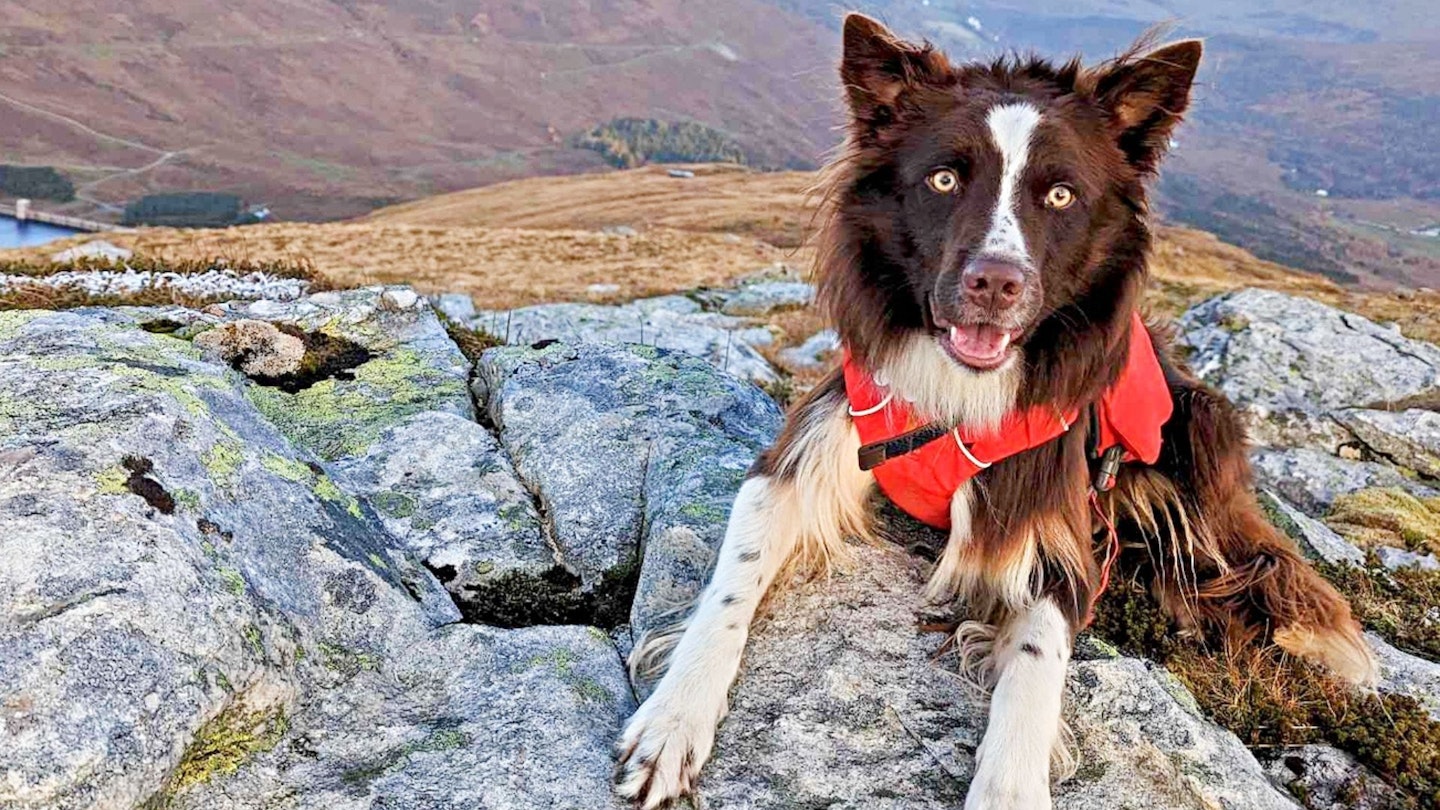
You can, but preferably on a lead and always under close control. Don’t let your dog impede other walkers and be aware this is an important sheep grazing area surrounded by farmland.
The terrain is a mix of constructed paths, scree, bare rock and boulders, which can be harsh on a dog’s pads. So test them on similar routes first.
How do I contact Mountain Rescue in an emergency?
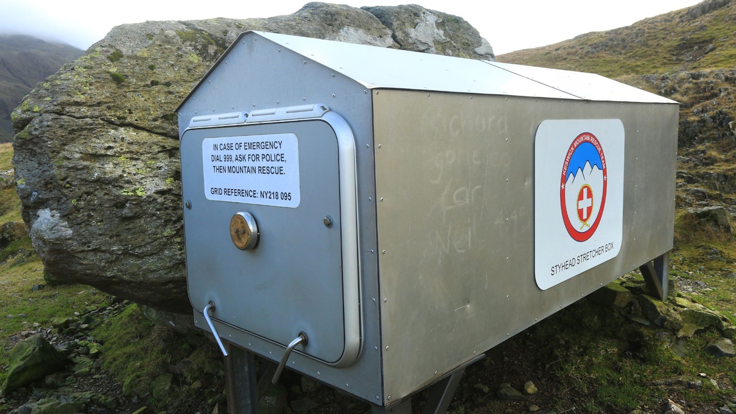
First up, are you sure you need rescuing? Being tired or running out of Snickers bars aren’t good enough reasons to mobilise a busy team of volunteers. But if it’s a genuine emergency, and you believe you or one of your party are in danger, dial 999 or 112 and ask for Police, then Mountain Rescue. Know your location and emergency details before calling.
Scafell Pike – our top 5 insider tips
1. Make a weekend of it
You’ve got everything you need in the Wasdale Valley if you want to add some extra mountains to your visit. Great Gable, Yewbarrow and Kirk Fell are all within striking distance, and the biggest problem is picking which one to climb first. Base yourself at the Wasdale Head for anaction-packed long weekend.
2. Stock up on food
You’re very limited for shops in Wasdale, Eskdale or Borrowdale, so make sure you buy everything you need for climbing Scafell Pike before you arrive in the valleys surrounding the mountain
3. Avoid Piers Gill
This narrow, deep ravine below is an accident blackspot on the Corridor Route that’s been the scene of many Mountain Rescue callouts. Do not try to ascent or descend Scafell Pike by following the base of the gill.
4. Bag Lingmell while you’re up there
The 807m peak of Lingmell, just to the north of Scafell Pike, is worth bagging on the descent to Wasdale if you’ve still got the energy. The views across to Great Gable from its summit are particularly impressive and it offers a nice alternative route back to Wasdale if you came up via Hollow Stones.
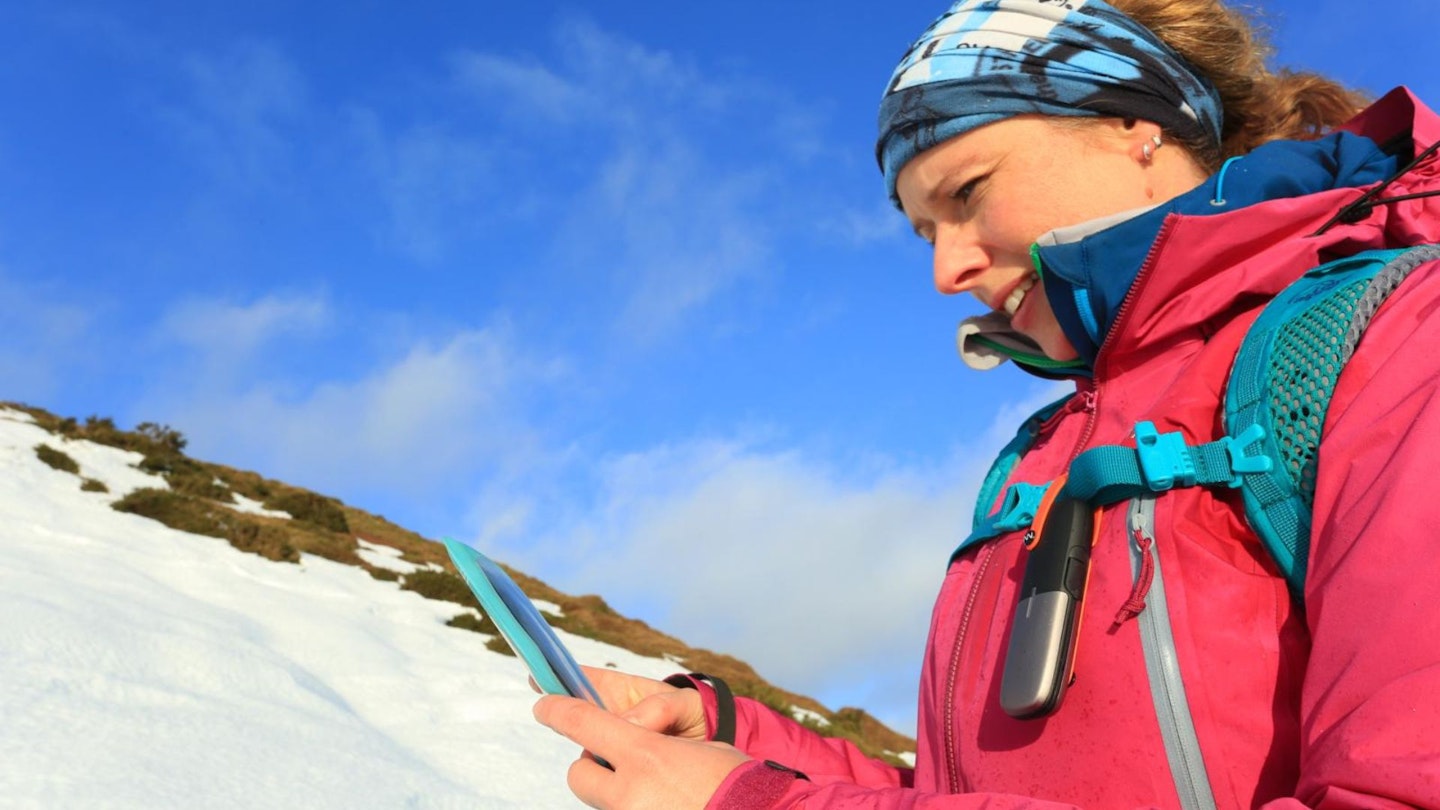
5. Use technology as a backup
Smartphone apps or GPS units should never be solely relied on for navigation, because if they break or run out of batteries you’re goosed. But they can be very useful for pinpointing your location on a map in areas that can feel featureless and disorientating, like the boulder fields near the summit of Scafell Pike.
Scafell Pike – facts and stats to impress your walking buddies
-
Scafell Pike should be pronounced Scaw-fell Pike. Indeed, it was originally written as Scawfell and this version of the name can still be seen on some old maps.
-
The name Scafell comes from the Viking word skali meaning shelter, and fjell meaning mountain.
-
From many angles, the neighbouring mountain of Sca Fell (964m) appears taller than Scafell Pike. For a time the latter was considered a subsidiary of the former.
-
The Scafell range is made up of Borrowdale Volcanics: igneous rocks from the Ordovician geological period approximately 444-488 million years ago.
-
The shattered rocks that make up the boulder field on Scafell Pike’s summit are thought to have been caused by weathering and frost action. Although 19th century geologist Clifton Ward believed earthquakes may have played a part.
-
Broadcrag Tarn (which is actually on Scafell Pike, not Broad Crag) is claimed to be the highest standing water in England at 820m and can be found a quarter of a mile south of the summit.
-
Lord Leconfield donated the summit of Scafell Pike to the National Trust in 1919 in memory of the men of the Lake District ‘who fell for God and King, for freedom, peace and right in the Great War’.
-
The Scafell massif is rife with hauntings, including a phantom galloping horse named Burnmoor and the ghost of a headless outlaw on the old packhorse trail at Styhead Pass.
-
Occasionally a small cloud known as the Borrowdale Sop appears near Piers Gill at the head of Borrowdale. It is said that if it floats off down the valley north-east towards the valley of St John, the weather will be fine. But if it goes south-east towards Langdale, rain is coming.