The Old Man of Coniston – imposing and widely revered. Or, the Old Man who can be a bit of a bore?
It doesn't do to be disrespectful, and the steep and stony standard path up the Coniston Old Man's eastern ridge has a fine tarn just below it, and pretty good views of the eastern crags and hollows.
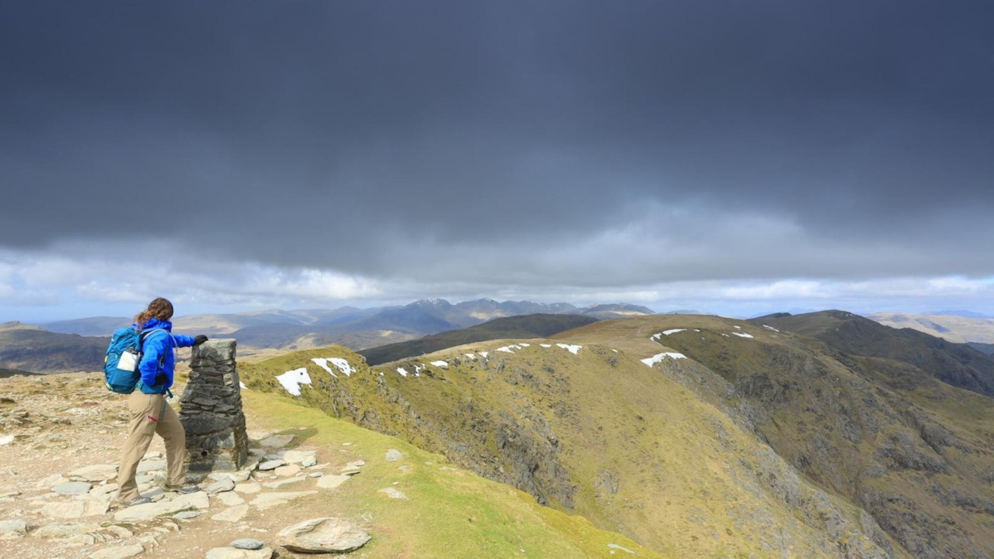
How much better, though, not just to see but also to be in all those other bits. Little Arrow Moor, Prison Band, Levers Water and the Boulder Valley; the names alone make a sort of Norse poem. And they give you a way up that's pretty much pathless with some scrambling if you want it.
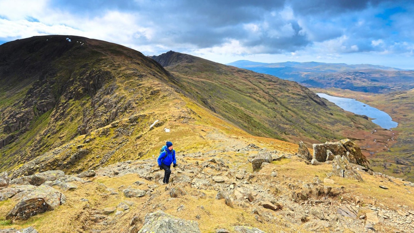
Then come the crags of Swirl How along their tops and also back along their bottoms. (And talking of bottoms, if you happen to be named Samuel or Samantha, prepare for some crude humour from your comrades – see Point 6 below!) Prison Band is a rugged spur that gets your hands on the rocks here and there.
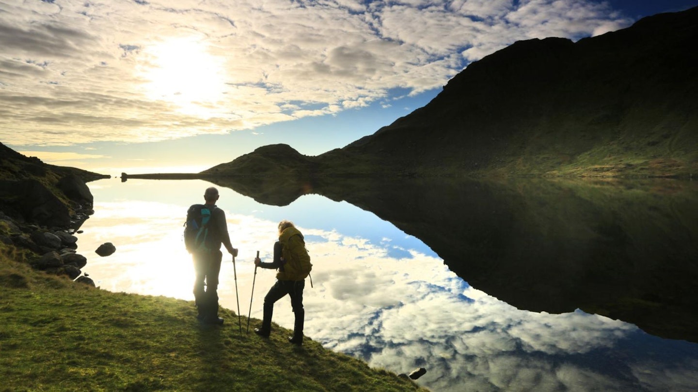
And tucked at the back of lovely Levers Water, there's a hidden little surprise. You don't have to be a fan of Star Trek; if you're trekker rather than Trekkie, Point 7 marks your place to boulder go. So reject the straight up and down, and tackle the Old Man sort of sideways. And for the elderly fellow – respect!
How hard is climbing the Old Man of Coniston?
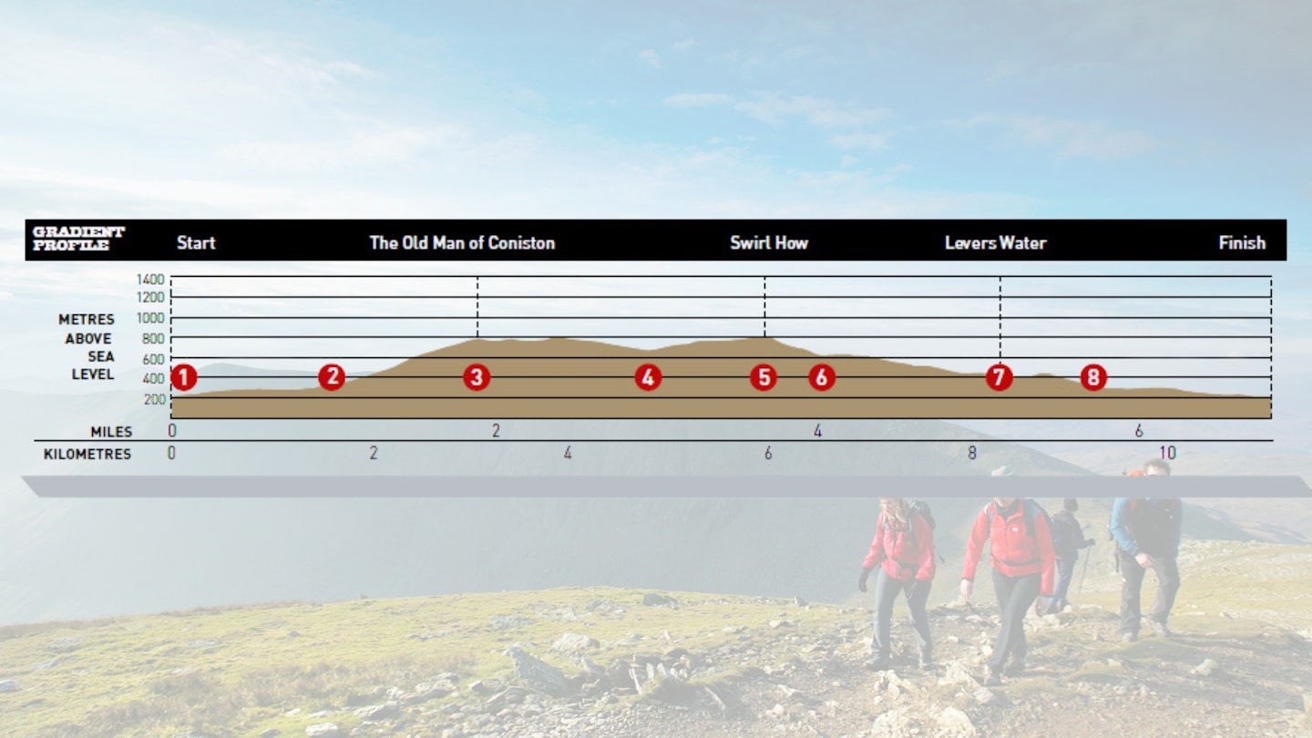
DIFFICULTY: Medium | DISTANCE: 11.2km | TIME: 5 hours | TOTAL ASCENT: 800m
FITNESS: Not the hardest Lake District mountain route you'll ever do physically, but it's a fairly long walk over rough and rocky terrain.
TERRAIN: Hill paths and tracks; pathless slope with scrambly options on Little Arrow Moor.
NAVIGATION: You'll be off-path for a fair wedge of time, so route-finding skills are a must. As are the ability to navigate with map and compass in poor visibility.
Where is the start of the walk?
Walna Scar track above Coniston. At very busy times, and for bus travellers, start/end at Coniston village.
What's the best map for Coniston Old Man?
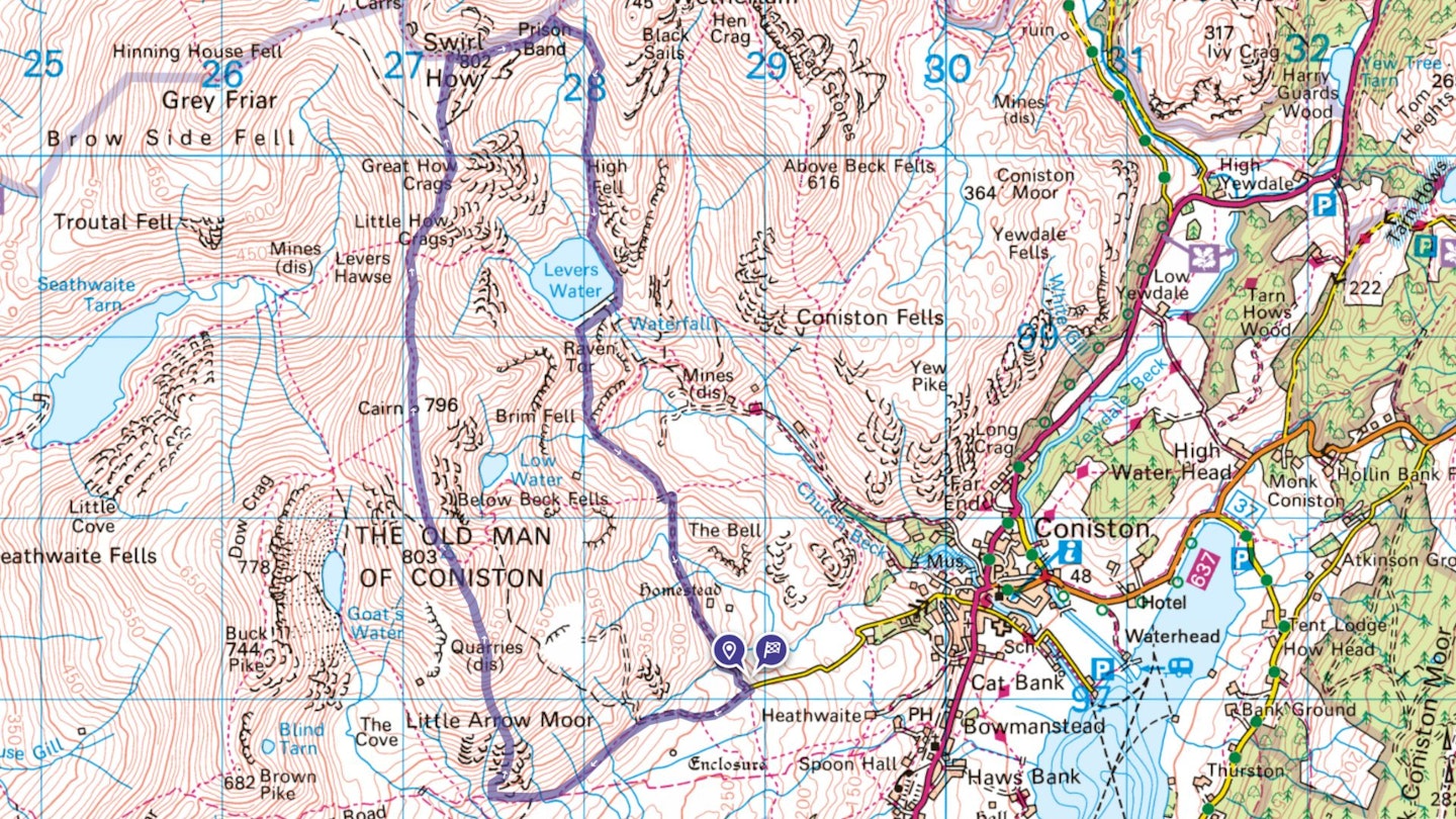
-
CLICK HERE to view and download our digital route guide in OS Maps
-
OS Landrangers (1:50,000) either 89 or 90, plus either 96 or 97
Old Man of Coniston and Swirl How | Step-by-step route guide
-
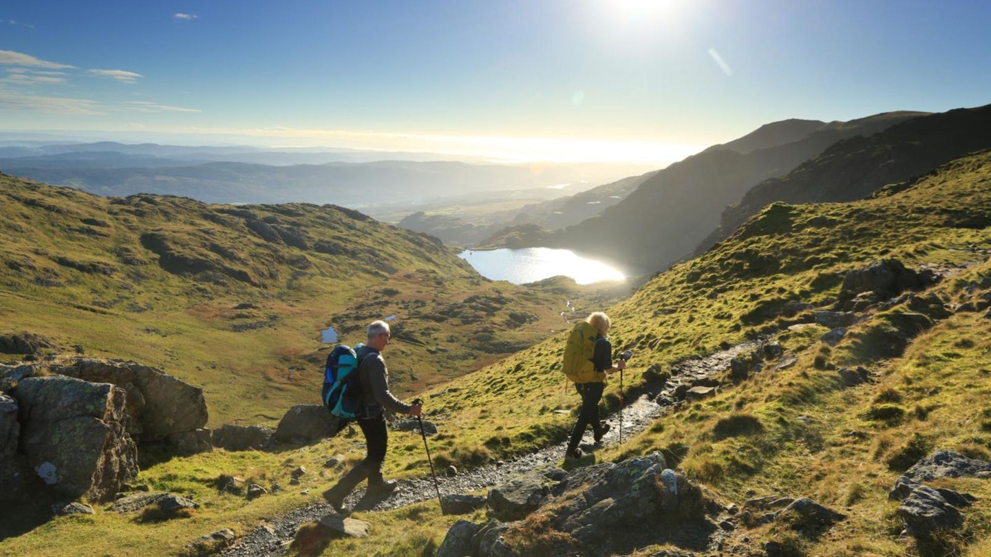
Beyond the car park follow the clear track of the Walna Scar Road (or a path to its left) south‑west, gently uphill. After 800m you pass a soggy patch on the left, the former Boo Tarn. The track now runs level around the hill. At 1.5km from the start, the track bends right, uphill.
-
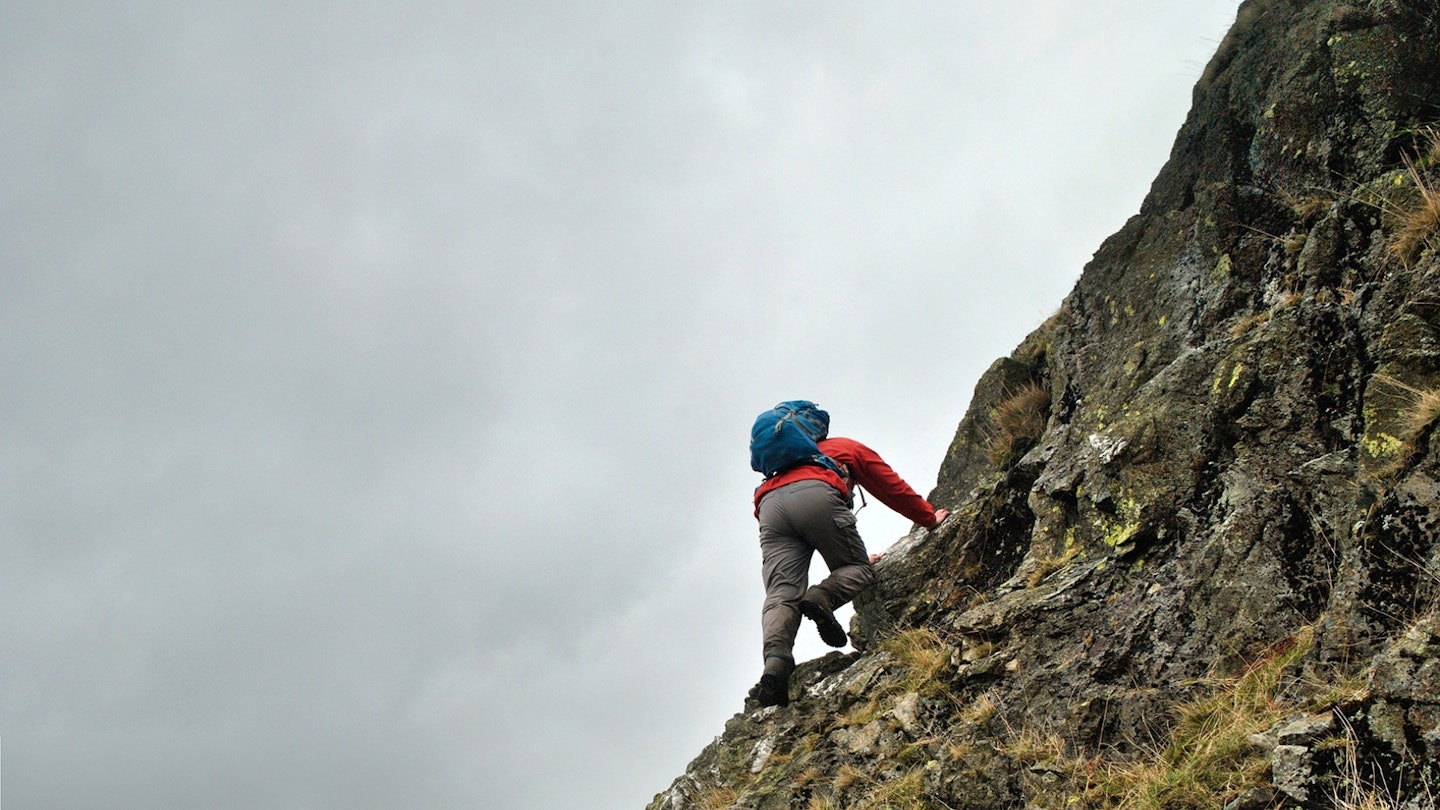
Turn off the track up the broad south-facing slope – if you reach the point where the clear path to Goats Water turns off the track, that's slightly too far, so slant back to the right as you start up the slope. Then head straight up the grassy slope, Little Arrow Moor. At the 500m contour it steepens, with rocky outcrops. Use steep grassy breaks between the outcrops, or scramble the rocks themselves. The slope above narrows and a small path zigzags up the hill nose to Coniston Old Man's large cairn.
-
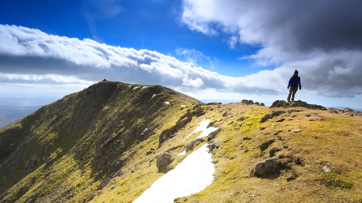
Turn left behind the cairn, with drops to your right, along a ridgeline northwest, then bending right (north). It becomes rounded over the slight rise of Brim Fell, then descends north to the narrow ridge across Levers Hawse pass.
-
The path keeps ahead across another slight dip, then uphill, passing left of an outcroppy top above the big cliffs (776m Great How Crags). The ridge widens and levels off. Stay next to the drops on the right, to rise slightly to the well-built cairn on Swirl How. Steep drops are just behind the cairn.
-
Turn down right (east) on a steep spur, soon with a clear path which is often eroded down to bare rock. A little rock tower on the way down can give shelter for a snack stop. The spur drops to a major col, Swirl Hawse.
-
Turn right, down the sheltered grassy hollow named (on Explorer maps) as Sam Bottom. As you descend, poke ribald fun at any companion named Samuel or Samantha. There are traces of path to the left of Swirl Hawse Beck, leading down to the corner of Levers Water. Pass along the left shore to the outflow point, which is a stone-built dam once supplying water power to mines and quarries below.
-
Cross the outflow: if water levels are low you can walk the spillway, a line of smooth stones of Shap granite with pink feldspar crystals. Or cross the natural stream just below. Continue around the tarn to pass below a quarry hole, then turn up left, following a fence to a small pass just above. Through the pass, head down little Boulder Valley. The path runs down the left flank of the valley, passing boulders which can be scrambled on, to cross a stream before the largest boulder of them all, the Pudding Stone.
-
The Pudding Stone can be scrambled by a ledge on its further side – or much more demanding routes on its other faces. Behind it, the path contours south‑east above the Coppermines quarry area. After 600m you reach a junction. If you started in Coniston village, the path down left here leads to Miners Bridge and a path down to the right of Levers Water Beck. If you started at the Walna Scar track, just keep ahead on the main path. It rises slightly through a col behind the little knoll The Bell, then slants gently downhill to the start point.
What walking gear do I need for this route?
Here's a selection of the best walking gear selected by LFTO's testing team: Walking boots | Hiking daypack | Waterproof jacket | Walking trousers | Walking poles | Walking mid-layers | Base layers
Where can I eat and drink?
The Black Bull in Coniston is best for beer (Coniston Brewery)
Where's the best place to stay?
YHA has two Coniston hostels, Holly How (with camping, landpods and tipis) and Coppermines.
About the author

Ronald Turnbull is a prolific author of walking books and route guides, and has been writing for Trail magazine since its very first issue in 1990. Hes one of the most respected outdoor writers in Britain and is well-known for his quirky routes, and even quirkier turn of phrase.
This route originally appeared in the October 2017 issue of Trail magazine. CLICK HERE to become a Trail magazine subscriber and get 50% off a whole year of digital OS Maps
