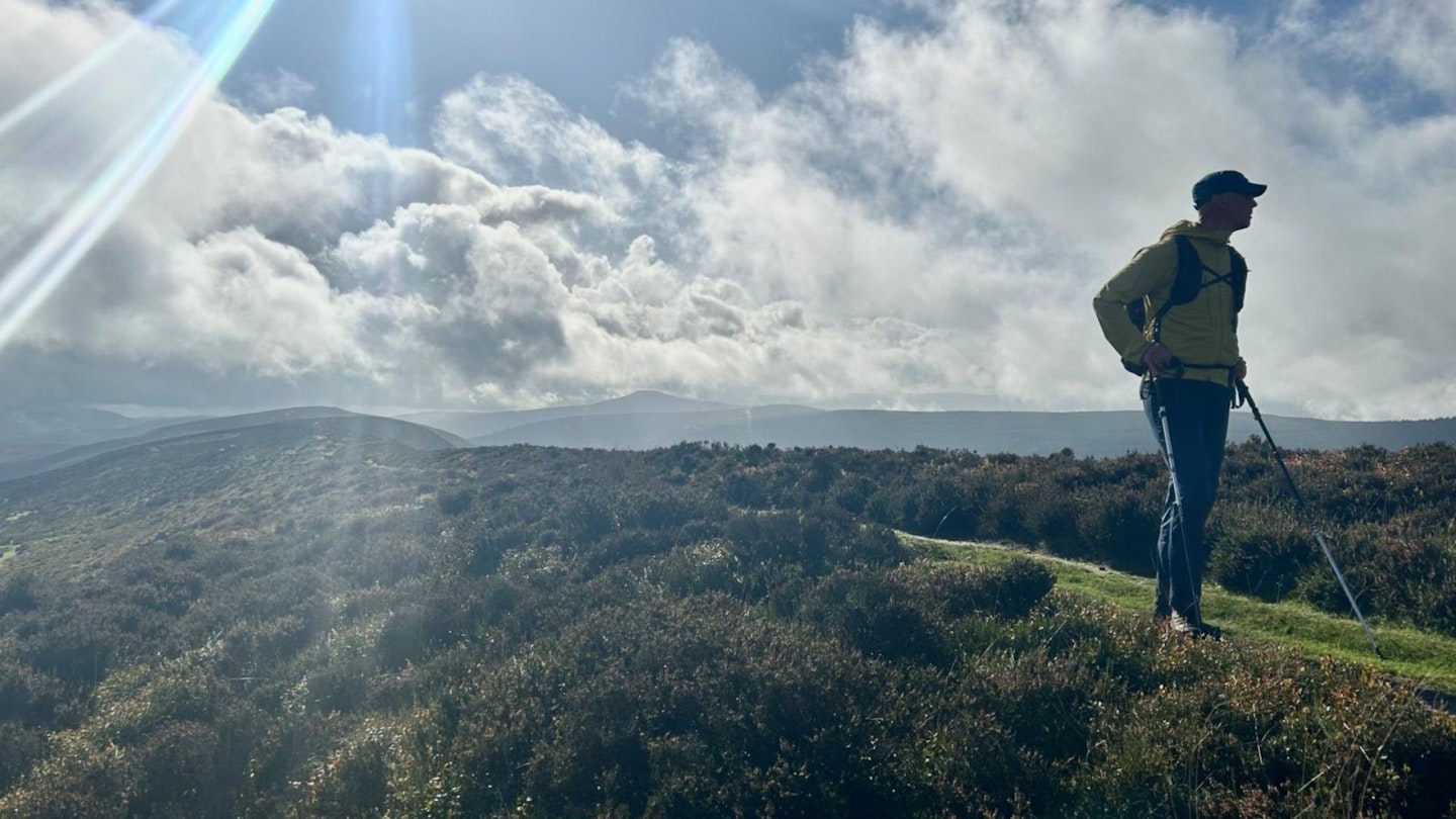
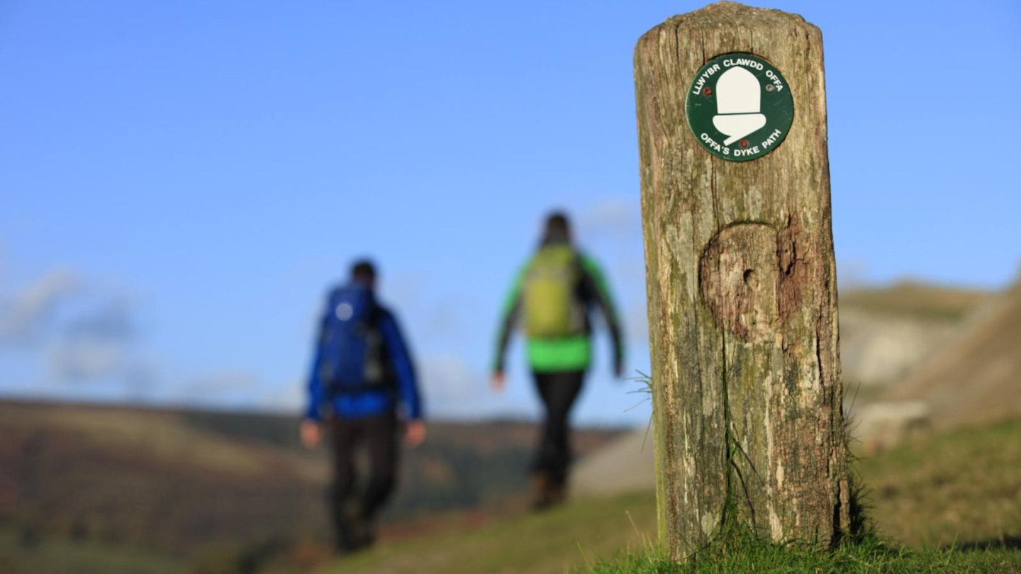
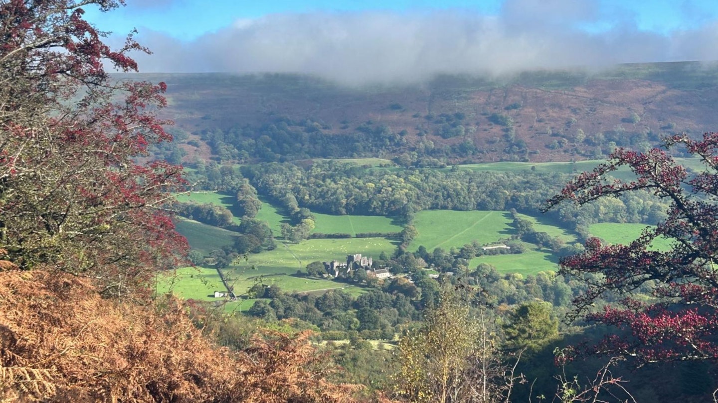
This hiking route takes in two ridges on either side of the beautiful Vale of Ewyas in the Black Mountains, the most eastern area of the Brecon Beacons. Starting at the impressive Llanthony Priory, the walk climbs up to Offa’s Dyke, the boundary between England and Wales built by King Offa to keep the Welsh out of his kingdom.
There is a vast panorama to the east over the Olchon Valley to the undulating landscape towards Hereford. The descent to Capel-y-ffin brings you to the diminutive church of St Mary the Virgin, before another ascent to the ridge.
The lofty 600m high ridge, part of the Cambrian Way, affords more aerial views of the Priory in the classic glacial U-shaped valley below. The plaque on the trig point at Bal Mawr is inscribed with ‘On all the peaks lies peace’. It is all downhill from here alongside Cwm Bwchel to finally cross the picturesque Afon Honddu. The excellent pub at the priory is a welcome final treat.
How hard is the Vale of Ewyas circuit?
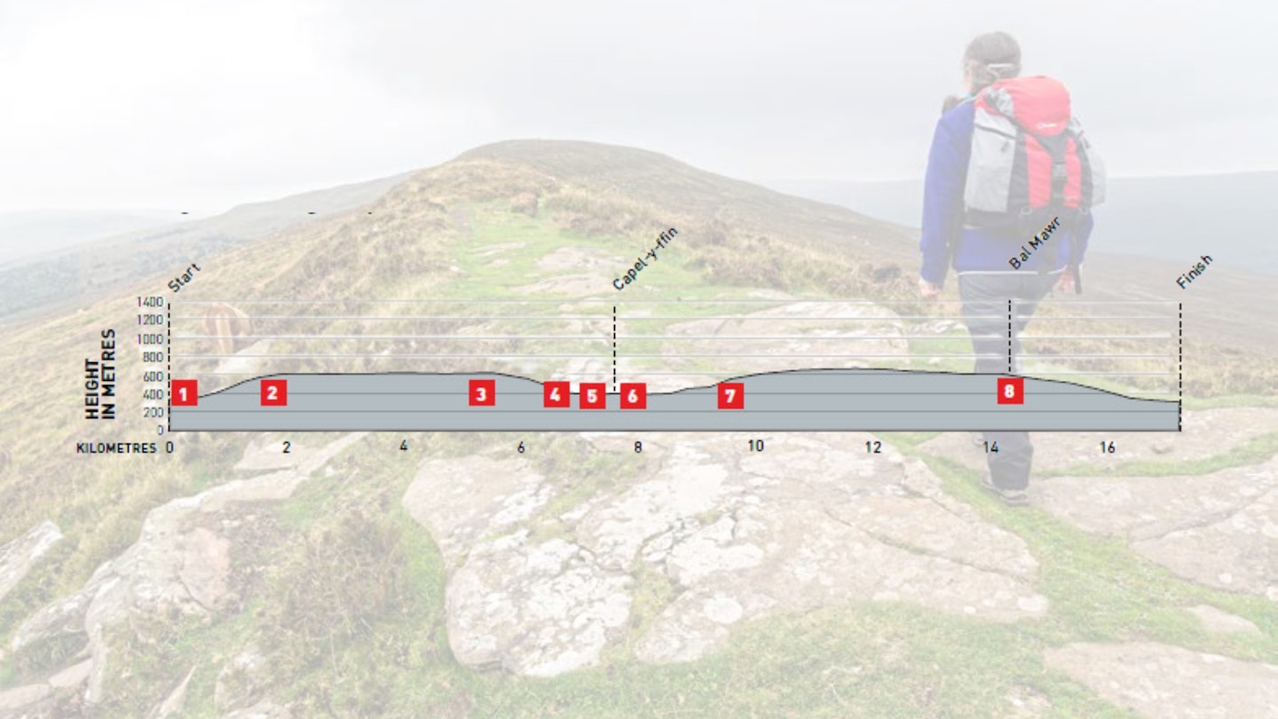
DIFFICULTY: Medium | DISTANCE: 17km | TIME: 6 hours | TOTAL ASCENT: 760m
FITNESS: A good level of walking fitness is required.
TERRAIN: The route along Offa’s Dyke can be boggy and the two ascents are sustained.
NAVIGATION: Straightforward on well-marked paths in good weather, but the points at which the ridges are left on the descents may be tricky in poor visibility.
Where is the start of the walk?
Public transport TrawsCymru bus service (X43) from Brecon. T14 runs from Hereford to Brecon via Hay on Wye. There is easy access to the M4.
What's the best map for the Vale of Ewyas circuit?
-
CLICK HERE to view and download our digital route guide in OS Maps
-
OS Explorer OL13 (1:25k)
-
OS Landranger 161 (1:50k)
-
Harvey British Mountain Map Brecon Beacons East (1:40k)
Vale of Ewyas circuit | Step-by-step route guide
-
Start in front of Llanthony Priory, where there is a sign marked ‘Hill walks’ on the left. Take the indicated path to the northern side of the priory, follow the track marked ‘Offa’s Dyke North’ and then take the path marked ‘All Routes’, on your left, to a gate. The path takes the western flank of Cwm Siarpal to the corner of Loxidge Wood, crosses the hill fence and then climbs Loxidge Tump to Offa’s Dyke.
-
Turn left (north-west) along the ridge to a milepost indicating Red Daren down to the east. Continue along the peaty crest of the ridge where some of the wettest parts have been protected by large flagstones. Pass the trig point where there are good views down into the picturesque Olchon Valley.
-
Turn left at another milestone, taking the path south-west down a spur and picking up a stony path to the left towards Nant Vision. Follow the path that zigzags through bracken and then turns west along the hill fence to a stile after around 100m. Cross this and descend steeply through woodland to another stile. Aim for the farm and follow a fingerpost right, above the hedgerow, to a stile and the lane to Vision Farm.
-
Turn right up the valley, passing behind Ty’r-onen Farm, onto a wide unmade track to a ford. Cross this and a stile ahead and cross the field to the corner of the trees. Cross a small stream over a stone stile and continue to a second stone stile. Cross the field ahead to a sandy track and a gate behind Blaenau Farm leading to the yew-treeencircled St Mary’s Church at Capel-y-ffin.
-
Walk down to the main road, crossing the river bridge, and take the road on your right to the Grange Trekking Centre. Pass the first footpath on the left and then take the narrow road on the left from where you can see the old monastery.
-
Walk up to the Grange Guest House and turn left up a stony lane through a gate. Follow a zigzag track up the hillside to the crest of the hill to a stone called the Blacksmith’s Anvil.
-
Continue (south-east) along Chwarel y Fan, Bwlch Bach and Bwlch Isaf to the summit of Bâl Mawr. Descend south-east from the trig point to meet a crossroads on the level ground at Bâl Bach.
-
Turn left onto the Beacons Way and descend the path that leads into Cwm Bwchel and follows the stream course on its northern side. Cross the hill fence just above the buildings and follow the waymark signs for the Beacons Way down to the road and back to the start at the priory.
What walking gear do I need for this route?
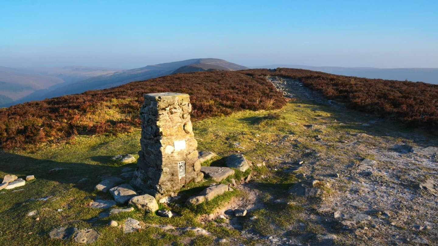
Here's a selection of the best walking gear selected by LFTO's testing team: Walking boots | Hiking daypack | Waterproof jacket | Walking trousers | Walking poles | Walking mid-layers | Base layers
Where can I eat and drink?
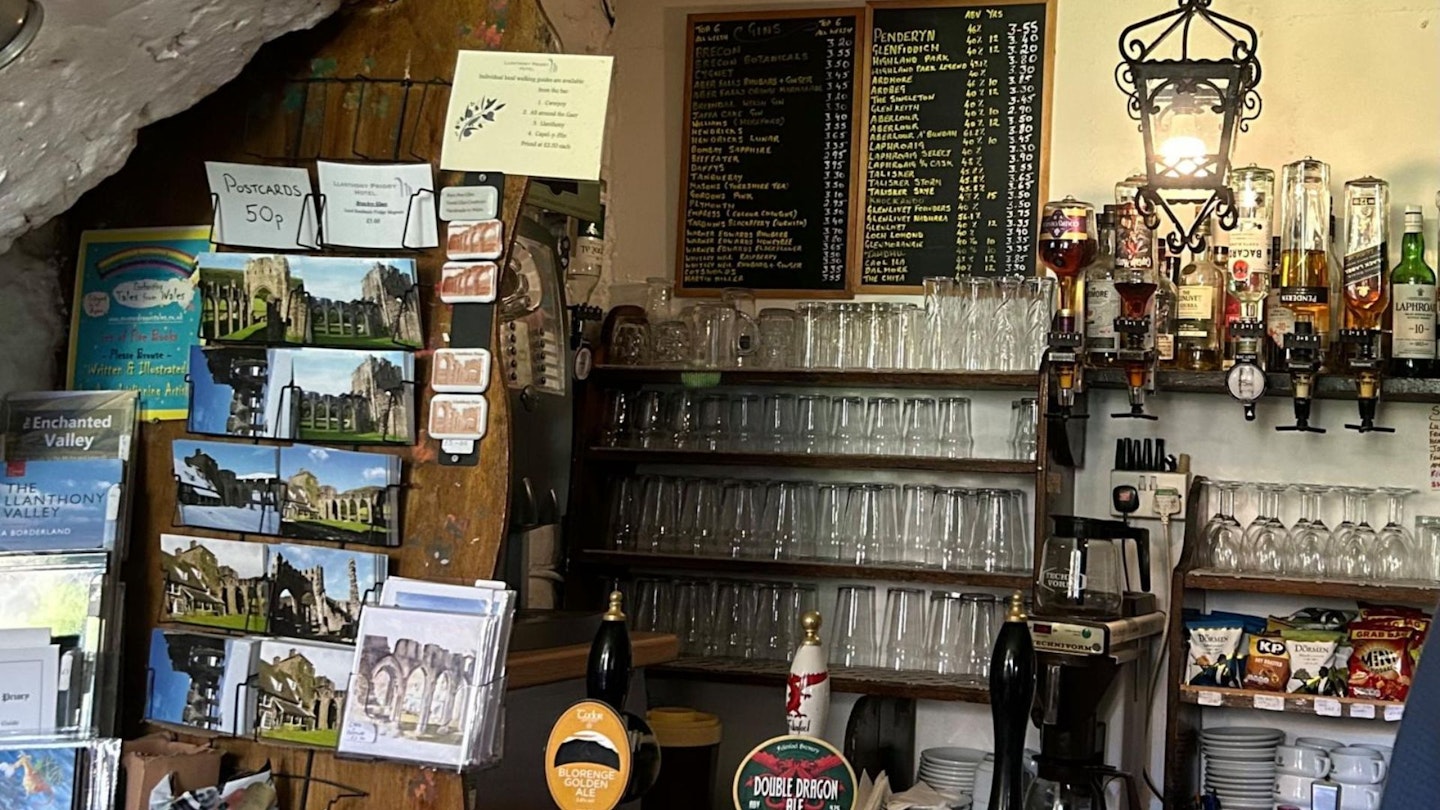
The Undercroft bar at Llanthony Priory at the start/finish serves food at lunchtime and in the evening.
Where's the best place to stay?
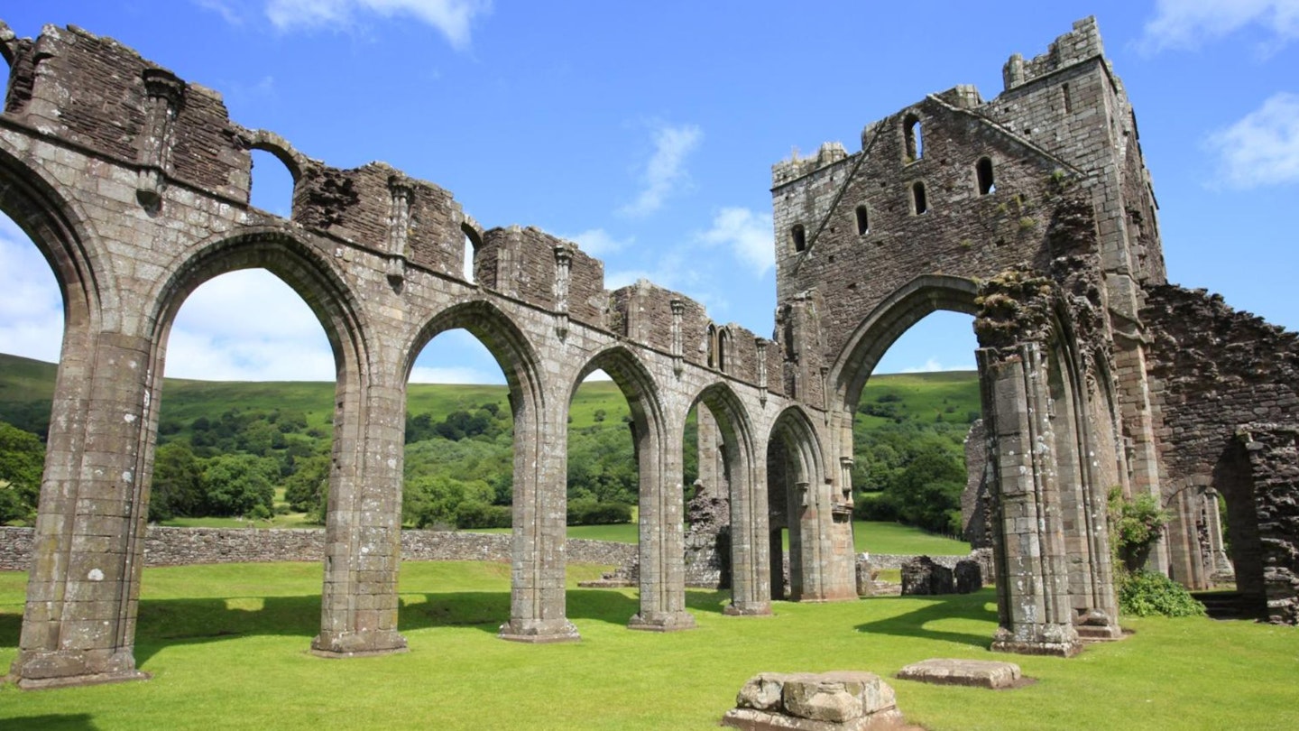
Llanthony Court Camping and Llanthony Treats for camping, bunkhouse B&B and catering.
About the author

Andy Davies is an outdoor photographer and author of numerous Welsh walking guides, as well as being a regular contributor to Trail Magazine and LFTO.
This route originally appeared in the February 2024 issue of Trail magazine. CLICK HERE to become a Trail magazine subscriber and get 50% off a whole year of digital OS Maps
