
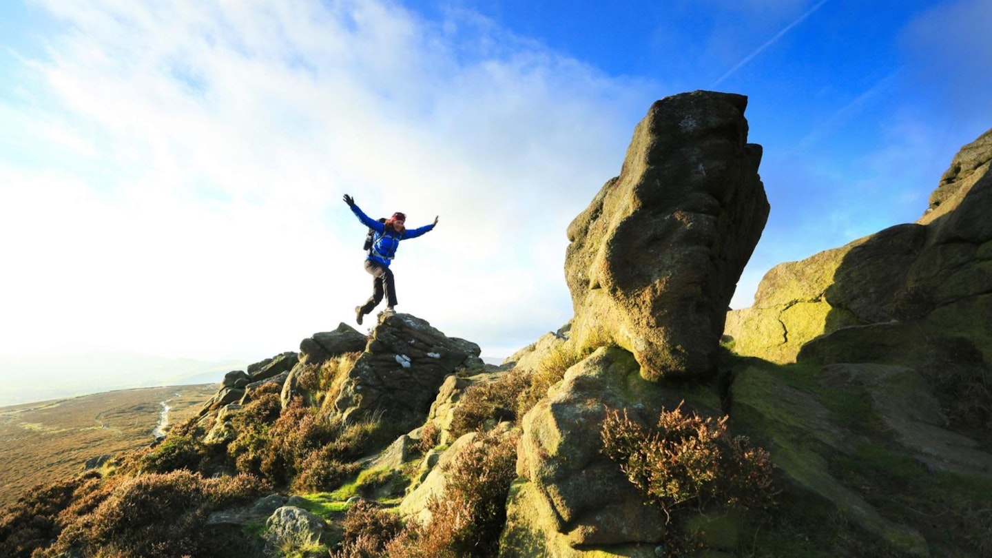
Win Hill is regarded by many as one of the ‘classic’ viewpoints in the Peak District National Park.
This shapely peak rises to 462m above beautiful Ladybower Reservoir and is perfect for a short hill day. It’s a very popular climb and on the top you will find Winhill Pike, a rocky and narrow crest culminating in the summit.
This is an exciting place to be, and it overlooks vast swathes of moorland for miles around. Winhill Pike is known locally as ‘The Pimple’ and the two main routes of ascent to it are from the village of Hope and from Yorkshire Bridge (which is the way taken here).
It is quite a steep climb of around 300m and requires a fair bit of stamina. It can also be rough and slippery in places as it rises beside Parkin Clough through thick forest.
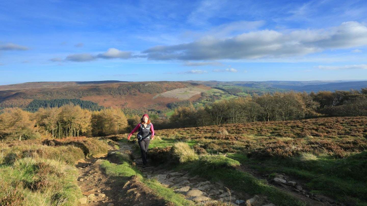
The hill is almost completely surrounded by water, with the River Derwent to the east, the River Noe to the south-west and, taking pride of place, Ladybower Reservoir to the north. Pleasingly, the reservoir is in view for much of the day’s walk.
How hard is climbing Win Hill?
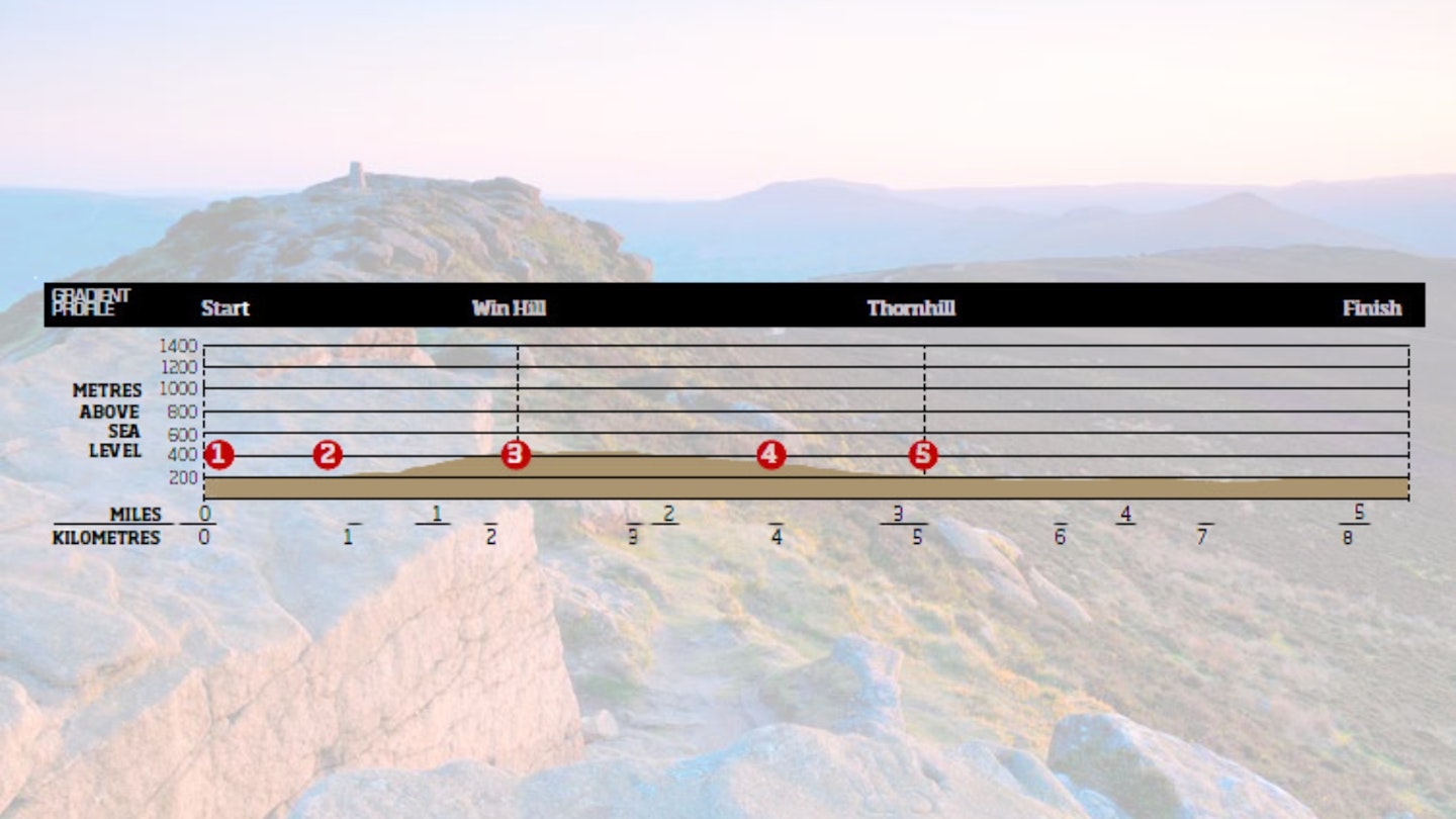
DIFFICULTY: Easy | DISTANCE: 8.4km (5¼ miles) | TIME: 3 ½ HOURS | TOTAL ASCENT: 415m
FITNESS: This is a fairly standard Peak District hillwalk that any regular walker should handle with ease.
TERRAIN: Mostly good paths and tracks: can be wet and muddy – wear gaiters; ascent of Parkin Clough is rough, can be slippery and tough; careful nav needed on descent of Winhill Pike; beware bikes on old railway line; pavement.
NAVIGATION: Very little to trouble you on this walk. If you know how to read a map and follow signs and footpaths, the navigation should be very straightforward on Win Hill.
Where is the start of the walk?
Heatherdene car park, Ladybower Reservoir. Nearest town Sheffield.
What's the best map for Win Hill?
-
CLICK HERE to view and download our digital route guide in OS Maps
Win Hill | Step-by-step route guide
-
Exit the carpark past the toilets at the south end, passing through a gate. Follow a path 500m south to descend steps to the A6013. Cross to pass through a gate and walk over Ladybower Reservoir dam wall. At the end pass through a gate to a track junction.
-
Cross over, taking a rising track half left. Rise steadily to a post and path junction at Parkin Clough. Go right, heading up Parkin Clough. There are steps in places but it can be slippery. Higher up, cross a track and continue climbing to emerge at the top of the clough. Pass through a gate to a path junction. Go right and immediately left (for ‘Win Hill’) and rise on a wide path. Continue up steps to pass through a wall gap. Continue up steps, following a path beyond. At a fork stay right to follow Winhill Pike ridge to the trig and summit.
-
Go forward a few paces, cutting left to drop to the path below. Go right, descending to a path junction near a fence. Cut back left, following a track with a fence right. Pass through a gate opening and continue on a track with a fence and wall right.
-
At a large post, wall corner and gap join a track coming in left. Go right through the gap, taking the descending grassy track to continue ahead at a track crossroads. Pass by a wall end and continue, descending to bend left and passing through a wall to go ahead on a descending path. At a traversing track go left, descending through a wall gap to a track junction and sign.
-
Go right for ‘Thornhill’, continuing to a junction and signpost at a wall corner. Go left for ‘Thornhill’. Descend to a junction and wall corner. Go right for ‘Thornhill’, passing through a gate. Follow a descending path through a gate. Continue to a junction, staying ahead for ‘Thornhill’. Descend through a gate, continuing to join Townhead Lane. Go ahead to a lane junction in Thornhill.
-
Go left, descending the lane to a junction and phone box. Go left, soon curving right to descend and curve left to the entrance to Carr Bottom Farm. Take a footpath right through a gate. Descend through another gate to a track. Go left, soon crossing an access track. Follow the track, passing through a gate and going over a crossroad of tracks to pass under a parking area. Continue through another gate to descend and curve left to a lane. Go across the lane, taking the track ahead through a gap by a gate (signposted ‘Bridleway – Yorkshire Bridge’).
-
Pass through a gate, carrying on along the track. At a path crossroad go right, taking a path signposted ‘Yorkshire Bridge’, and head down steps to go through a gate. Descend to a lane via a gap by a gate. Go left, shortly going right over a bridge. Once over take a footpath left (signposted ‘Heather-dene’), passing through a gate to continue ahead on a path. Rise to cross a track, taking a path ahead. Soon join a better path and go right on this, climbing in woods.
-
At a junction of paths (near houses, right) stay right and continue climbing to rise over a crossroads of tracks and carry on uphill. When the path forks stay right, rising via a gate to The Yorkshire Bridge Inn. Go left up the road. Pass thedam wall and follow the road by the reservoir to go right into the carpark.

What walking gear do I need for this route?
Here's a selection of the best walking gear selected by LFTO's testing team: Walking boots | Hiking daypack | Waterproof jacket | Walking trousers | Walking poles | Walking mid-layers | Base layers
Where can I eat and drink?
The Yorkshire Bridge Inn, Bamford, serves good food and beer.
Where's the best place to stay?
The Yorkshire Bridge Inn (above) and Laneside Caravan Park in Hope. We'd also recommend the excellent YHA Edale or searching for good deals on Booking.com.
About the author
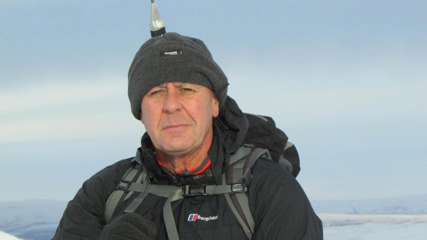
Steve Goodier is an experienced hillwalker and freelance outdoor writer specialising in hiking routes in the Lake District, Yorkshire Dales and Scottish Highlands. He's walked and climbed all over the world and produces regular walking routes for Trail magazine and LFTO.
This route originally appeared in the March 2017 issue of Trail magazine. CLICK HERE to become a Trail magazine subscriber and get 50% off a whole year of digital OS Maps