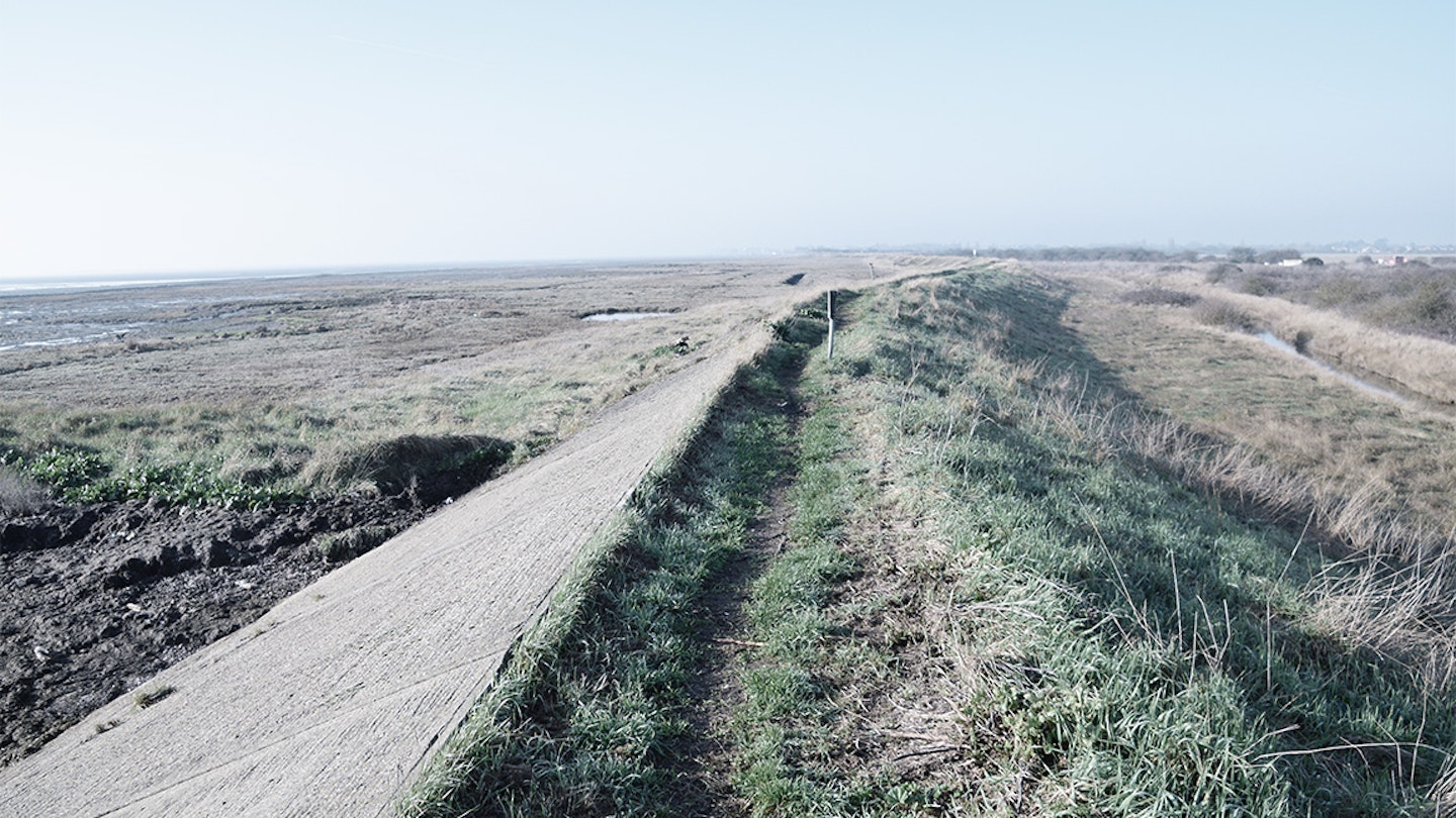
A dim red-orange semicircle crept above the horizon. The sun’s subdued appearance found me running atop a grassy sea wall, alone and bleary-eyed (from a night of fitful sleep in the car).
I was wrapped up warmer than normal, on account of the chill that rolled in across the expanses of mud and sand to my right; somewhere out there, unseen in haze, was the North Sea.
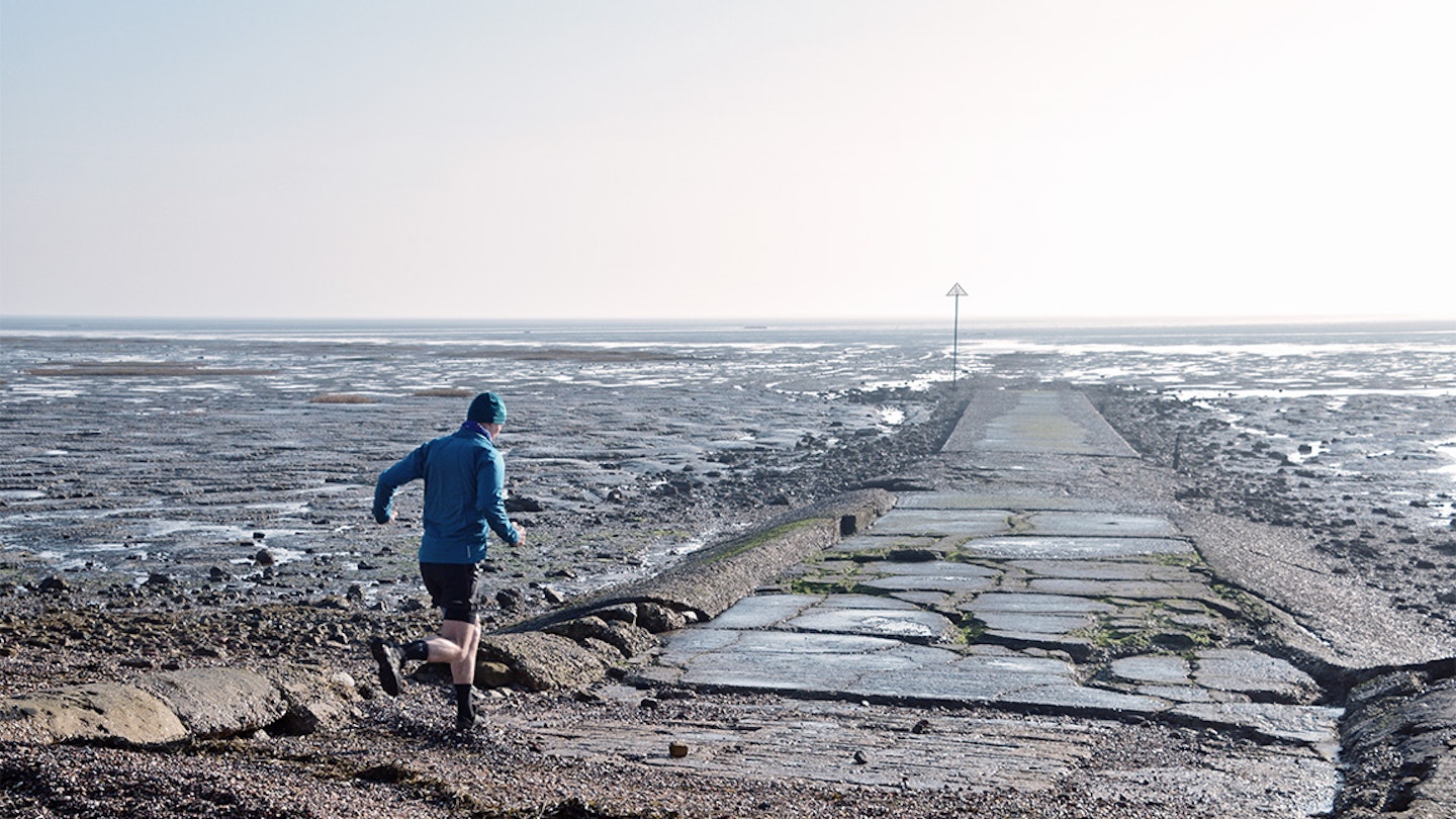
The sea wall brought me, before long, to a slipway pointing directly out to sea. This dilapidated concrete structure reached 50 or 100 metres offshore, before suddenly and inexplicably tapering out.
A photographer was sitting here with camera and tripod set up to capture the dawn: the first person I had seen on this winter morning. I greeted him and turned to run down the slipway, but he halted me in my tracks with a warning hand:
“You can’t go out there! I've lived here all my life, but I wouldn't go out there. There is mud and quicksand, you’ll get lost, plus I'm pretty sure that the tide is coming in now. You do know that is Britain’s deadliest path, don’t you? They call it the Doomway”.
This dire admonition was, admittedly, pretty off-putting. Nevertheless, I put a brave face on it and assured my photographer friend that I absolutely knew what I was getting into, that I was prepared and that I’d checked the tide times.
With butterflies in my stomach, I ran down the slipway, trying to stride as confidently as possible. Passing the slipway’s end, my trail shoes sploshed through wet mud and briny pools but I forged ahead, not allowing myself to look back towards shore and betray uncertainty.
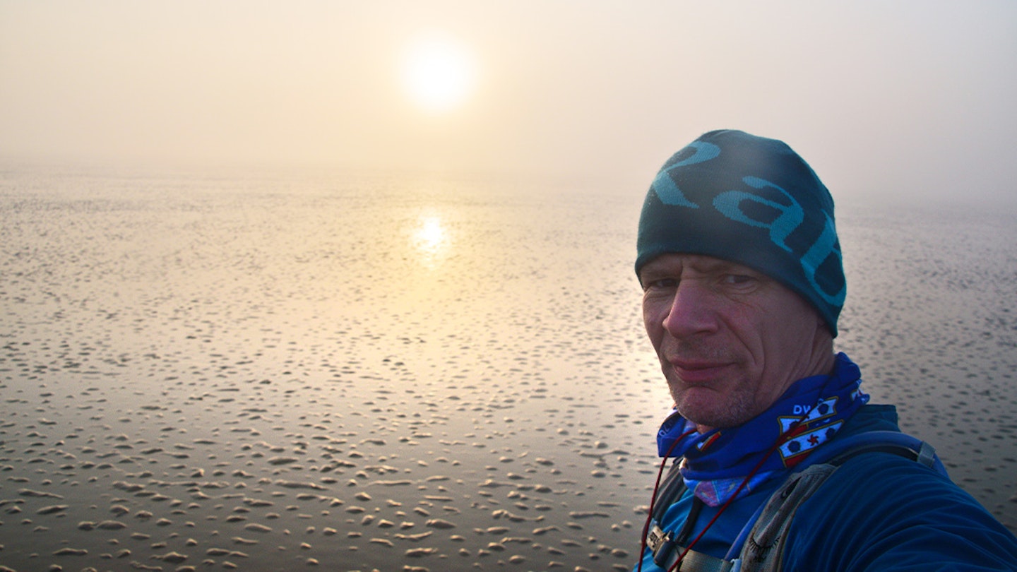
Suddenly and without warning, I was engulfed in dense disorienting fog: where did that appear from? Just 10 minutes into running the Broomway, an infamous trail which has claimed many lives, and I was already completely lost.
What is the Broomway?
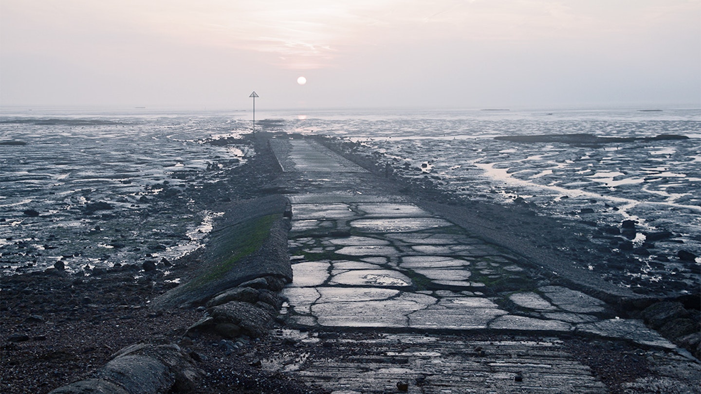
The Broomway is an ancient route in the North Sea, leading from the coast of Essex across Maplin Sands to Foulness Island. The Broomway is only accessible at low tide and is so-named because historically the route was marked out by ‘brooms’: bundles of twigs sunk into the sand.
No trace of the brooms remains today and now this legal byway – confidently marked out on Ordnance Survey maps – just consists of unmarked and featureless wet sand, which of course is covered over and swept clean by the tide, twice a day.
Is the Broomway really Britain’s deadliest path?
Basically, yes. 66 of the bodies buried in Foulness churchyard lost their lives traversing this route, with the total death toll estimated to be over 100. The risks are numerous; rising tide, fog, quicksand mud, getting lost... and also nowadays, incoming ordnance: did I mention that it’s a firing range?
Why might you wish to run here? Essex’s North Sea coast is the second-longest of any English county and (perhaps surprisingly, to those who buy into Essex stereotypes) it can be a hauntingly desolate and beautiful place.
Foulness Island is closed and secretive, used by the Ministry of Defence for weapons testing; the Broomway is the only way for the public to reach this mysterious island. With appropriate care, running the Broomway is an incredible and unique experience and a reminder that Britain (and especially Essex) can offer truly wild adventure for those willing to seek it out...
Treading carefully
So, anyway... there I was, shrouded in freezing fog, with soaked trail shoes. This really was rather intimidating and as I fumbled with my compass and tried to recall how to take a bearing (it’s been a while since I was a Scout), I sincerely considered retreating, chastened, to the slipway.
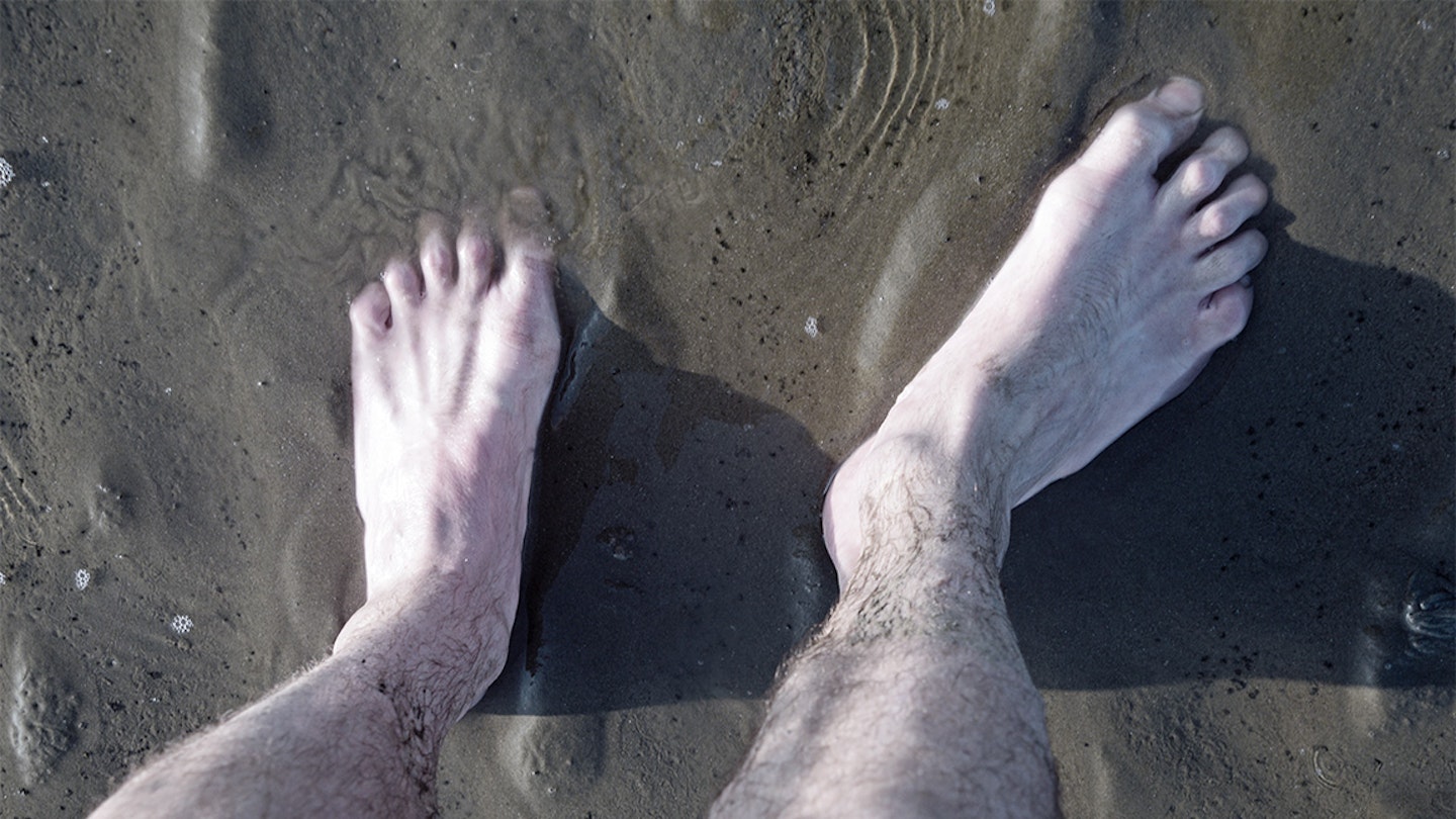
I took a bit of ‘time out’, to give myself a talking-to: I was going to do this thing. Firstly, I whipped my footwear off and left it on the sands; I have no idea why, I’m not a ‘barefoot’ runner but it just seemed to be the thing to do. Then I pointed my compass into the drifting fog and recommenced running.
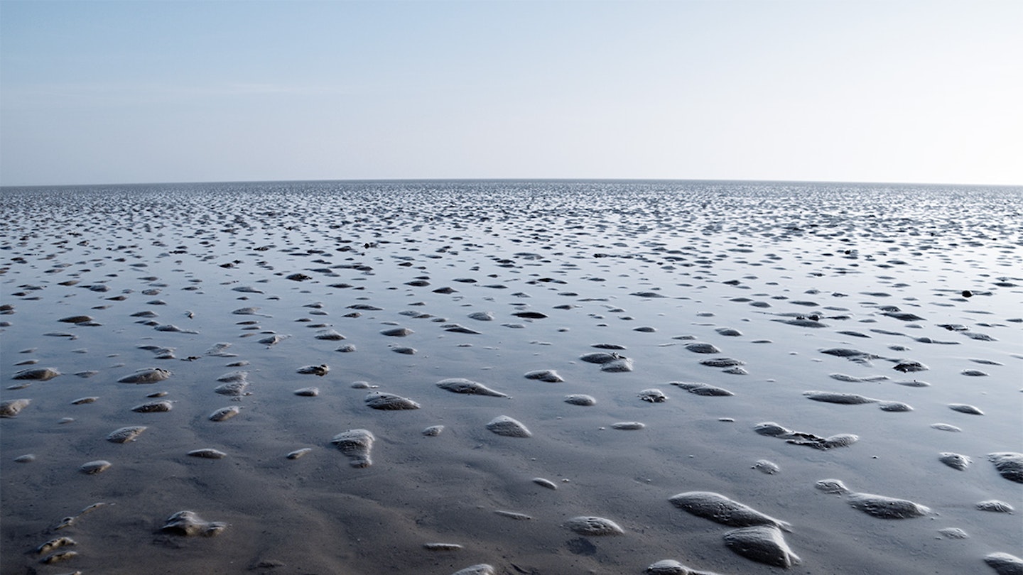
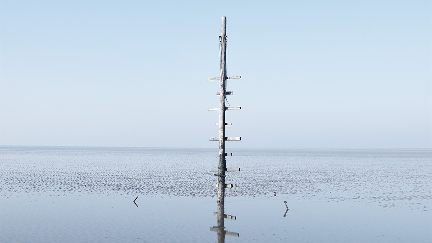
The sands were dotted with shallow pools; even at low tide the sea never quite goes away. Icy water numbed my soles as I ran, but this connection with firm damp sand felt somehow reassuring. After a mile or so, a strange wooden post with slatted crossbars emerged, rearing from the sands.
'The Maypole’ is the sole landmark on the entire trail and locating it was a relief: confirmation that I wasn’t heading towards Belgium! A new bearing and I was on the move again. My world expanded as the fog dissipated. Sand now stretched in all directions to open horizons.
There was no hint as to the sea’s location, or where it even began. Its presence was always felt, though: out there somewhere, waiting to return and engulf this vast empty liminal space between land, sea and sky.
A sliver of low-lying green became discernible: Foulness Island! I reached a slipway and waded ashore, mud squishing between my toes. Numerous 'Danger Keep Out' signs greeted me and informed of the dire consequences of even looking at the strange deserted concrete towers and bunkers peppering the landscape behind the sea wall.
Further exploration of this highly classified landscape was viable, but I was mindful of time and tide. I turned my back on the wire fences and warnings and headed back offshore for a return Broomway dash.
Safely back at the original slipway, I had covered 10 miles. That's 10 miles across the actual North Sea. I lingered, reluctant to leave: ostensibly, to coax life back into frozen and battered feet, but in truth I needed to process this incredible experience. Mind = blown.
Trail running takes you everywhere in the end, but I’d never thought that one of the all-time highlights might be hidden in plain sight, offshore of Essex. Incidentally, my trail shoes were still sitting in the puddle where I’d left them.
Do it yourself
The Broomway presents challenges and risks unlike any other trail run. Your planning must take into account tides, firing and opening times, navigation, the area’s Site of Special Scientific Interest status (no deviation is allowed) and so forth. However, with appropriate consideration running the Broomway can be a safe and enjoyable experience.
Details on accessing the trail and the hazards involved can be found in:
South East Trail Running by Mark Rainsley
MOD Shoeburyness - Public access guide for recreational visitors. This information leaflet is obtainable online and is a recommended read.
